Visit the Bruny Island Lighthouse
South Bruny, Tasmania
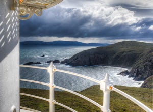
Cape Bruny, at the south end of Bruny Island, is accessible by car. To enter the island you must take a ferry from Kettering (view website for times and prices: brunyislandferry.com.au). Once you park near the lighthouse, walk up the short path to the top of the hill and the lighthouse. From here you can see all of stunning Cape Bruny and the Tasman Sea. You can go inside and to the top of the ...
Hike Huron Peak
Buena Vista, Colorado
5.0
6.5 mi
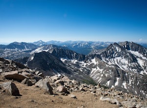
If you have a 4WD vehicle, drive 2 miles from Winfield along a dirt road to the trailhead. If you don't have a suitable vehicle, you can park before the road gets rough and hike the rest of the road to the trailhead.Starting at 10560 feet of elevation, this 6.5 mile roundtrip hike begins its 3500 foot elevation gain meandering through the San Isabel National Forest for a little over a mile unti...
Hike Mt. Princeton
Nathrop, Colorado
4.5
13.25 mi
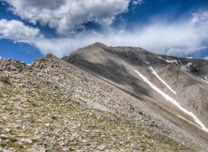
Starting at 8900 feet of elevation, this 13.25 mile roundtrip hike begins its 5400 foot elevation gain on a dirt road that winds for 3 miles until you break the treeline. If you have 4WD and good clearance you can drive most of the way up this road, shortening your entire hike by about 6 miles. Just out of treeline, locate the Princeton trail on the right as the road curves around Tigger Peak (...
Camp at Squaw Flat Campground
Monticello, Utah
3.0
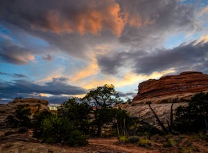
Squaw Flat campground is an easily-accessed area full of picturesque campsites in Canyonlands National Park, Utah. It is located in the Needles District, which is well known for its colorful spires of Cedar Mesa Sandstone that cover the region. Campsite reservations must be made in advance at recreation.gov. This is a great area for large groups because the campsites can be specious and there i...
Photograph the Tasman Peninsula by Boat
Fortescue, Tasmania
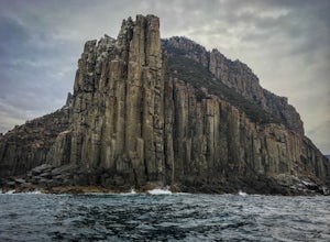
Viewing the Tasman Peninsula by boat offers easy access and an amazing perspective of the towering dolerite sea cliffs that you can't get from land. Put your boat in at Fortescue Bay campground and travel out around the peninsula to the south. You can travel for hours with unending scenery and wildlife to see, such as birds, seals, and dolphins. You can travel around Tasman Island, also in the ...
Hike Two Trees Trail
Riverside, California
2.5 mi
/ 977 ft gain
Parking is free at the trailhead, but there is only room for approximately five cars. The trailhead is on the edge of a neighborhood, so you can park there if needed.
From the parking lot, head west, and immediately veer right and across the bridge. If you go left at the first fork, you can stay to the left of the creek, going past two caves. This is excellent if you want to enjoy a short, flat...
Explore Playa Balandra
La Paz, Mexico
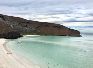
Playa Balandra is one of the best beaches in Mexico. It is perfect for chilling on the white, soft sand or swimming in the clear water. There are many sections of beach within the bay, so the beach nearest to the parking lot is usually the most crowded and you will need to take a boat across the bay to get to more secluded sections of coast without people. Nevertheless, it is a peaceful area wi...
Snowshoe Jim Creek Trail
Idaho Springs, Colorado
5 mi
/ 965 ft gain
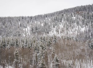
Starting at 9,220 feet of elevation, this 5 mile out-and-back snowshoe begins its 965 foot elevation gain meandering through a quiet forest. The trail will take you through the woods for a few miles, and you can turn around whenever you like. If you're up for a challenge and have a lot of time, you can continue on the trail and eventually summit James Peak at 13,301 feet of elevation.
Photograph Redfish Lake at Dawn
Stanley, Idaho
5.0
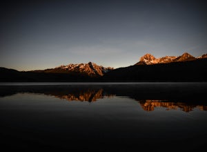
There are several good spots to photograph along the shore of Redfish Lake. The marina at Redfish Lake Lodge is a great viewpoint. Also be sure to follow the path to the east of the lodge to visit some of the beaches on the north shore. It is here that you can often find yourself alone at dawn when the lake is completely still. Many mornings there is a blanket of fog covering the lake, so captu...
Hike the Enchanted Mesa Trail
Boulder, Colorado
4.0
1.4 mi
/ 440 ft gain
Start out on McClintock Trail for 0.7 miles (this particular stretch can get muddy), before switching over to Enchanted Mesa Trail. To add a scenic 0.4 miles to your hike, take the Quarry Loop by turning right at the stone cabin, then following the steps up to the quarry, where you can overlook the park.
Backcountry Ski at Fremont Pass
Leadville, Colorado
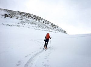
Starting at 11,319 feet of elevation, you can choose which direction to head into the backcountry. Park at the pull-off area at the bend in the road. From here, you can head into the woods to the right (there are usually tracks from other skiers to follow) or follow Trail Rd. to reach some peaks further from the highway.
Many slopes are available to ski along the right side of the basin. To sk...
Visit the Mamu Tropical Skywalk
Wooroonooran, Queensland
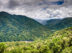
The Mamu Tropical Skywalk offers a chance to walk high above the forest floor on a cantilever walkway that leads through the canopy. To see all the features of the skywalk requires a 2.5 km (round-trip) walk and takes at least an hour.The Forest walk starts out by winding through the forest floor and serves the access path to the cantilever, skywalk, and observation tower. Just past the first r...
Goat Lake via Iron Creek
Lowman, Idaho
4.9
7.96 mi
/ 1621 ft gain
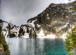
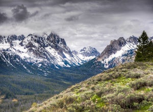
This moderate hike begins at Iron Creek Trailhead in the Sawtooth Mountains. Follow the trail through the forest and alongside Iron Creek. At 1.1 miles you will officially enter the Sawtooth Wilderness and soon after come to a marked junction. Turn left to follow Alpine Way Trail across Iron Creek. At 1.5 miles cross a bridge and then begin a steep 600-foot ascent. Although somewhat taxing, the...
Shanahan Ridge Trail
Boulder, Colorado
4.0
3.84 mi
/ 715 ft gain
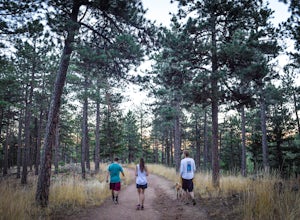
Starting on the edge of a neighborhood in South Boulder, this 3.8 mile loop begins its 869 foot elevation gain by meandering through a pine forest. You can 'choose your own adventure' by exploring the handful of trails that meet up with the Shanahan Ridge Trail, such as the South Mesa Trail, Shadow Canyon Trail, and Fern Gulch Trail. If you keep heading west, the trail will pass by a large slab...
Nordic Ski on Mt. Bachelor
Bend, Oregon
5.0
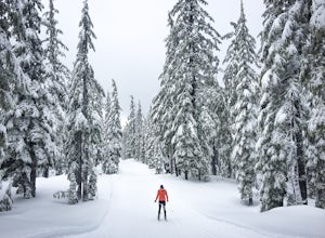
The forest on Mt. Bachelor is a winter wonderland when it is covered in snow. The Mt. Bachelor Nordic Center grooms the track-set trails daily, and there are trails for all skill types. Choose your own adventure my skiing loops of all different lengths and difficulties, and then warm up by the fire in the nordic center with a homemade, hot burrito and cup of cocoa from their cafe.
You will need...
Hike through Borrego Palm Canyon
Borrego Springs, California
5.0
3.25 mi
/ 450 ft gain
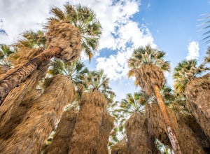
Borrego Palm Canyon Trail is located just north of the park visitor center, making it a convenient place to begin your exploration of the Anza-Borrego Desert. To reach the trailhead, drive through Borrego Palm Canyon Campground, the largest developed campground in the park, where an $8 day use fee is charged. This is the only area in the park that requires such a fee. If you don't want to pay t...
Scramble Up Decker Peak
Lowman, Idaho
14.4 mi
/ 3990 ft gain
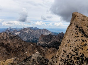
This can be a day trip or, if you want to take your time and relax after the climb, backpack in and camp at Hell Roaring Lake on the night before and after the climb. Begin your journey at Hell Roaring Lake Trailhead. From Stanley, drive on ID-75 south for 12 miles, turn west at Decker Flat, and drive 5 miles on a rocky four-wheel-drive road. Make sure you have a car with high clearance. From t...
Drive Chain of Craters Road
Mountain View, Hawaii
5.0
37.6 mi
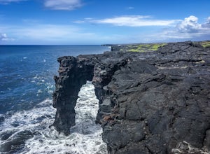
Starting at the Kilauea Visitor Center, this 18.8 mile drive begins its 3,700 foot elevation change by meandering through the rainforest. Follow signs from the visitor center (near the entrance of the park) to Crater Rim Drive. Chain of Craters Road begins off of Crater Rim Drive, 3.3 miles south of Kilauea Visitor Center. If you want to take a side trip, turn onto Hilina Pali Road, 5.6 miles f...
Hike South Fork Trail
Hemet, California
5.4 mi
/ 1056 ft gain
Begin by following the unsigned but visible trail on the south side of the turnout. You climb steadily through bushes and past granite boulders. At half a mile, you pass over to the western slope of the hill where the trail bends southeast, providing your first look of the river valley far below. The vegetation becomes thick, and you will be able to see yuccas.
At 1.7 miles, you pass through a ...
Table Mountain's India Venster Route
Cape Town, South Africa
1.6 mi
/ 2198.2 ft gain
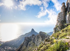
Starting about 50 m to the right of the lower cable car station of Table Mountain National Park, this 2.5 km point-to-point hike begins its 670 m elevation gain with a thigh-crushing ascent up a steep trail. Follow the trail about 15 to 20 minutes up to the contour path. Here you will see a green sign, but India Venster is no longer indicated and starts behind that sign post UP the mountain, ba...
Catch a Boulder Sunrise from NCAR
Boulder, Colorado
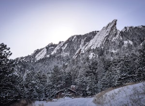
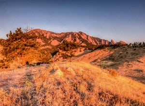
A great place to watch the sunrise in Boulder is at NCAR, the National Center for Atmospheric Research. Park in the parking lot at the top of the hill, and if you're feeling up to it, you can walk south for about 10 minutes to an adjacent hill with beautiful views. Either way, you will want to get there a bit before sunrise to catch the light on the flatirons! Breathtaking on most days (anytime...
Marshall Ridge via Fishhook Creek Trailhead
Lowman, Idaho
2.74 mi
/ 623 ft gain
Start your hike at the Fishhook Creek Trailhead by Redfish Lake. Park in the dirt parking lot across the street. Follow the trail (mostly flat) a few hundred feet to the first fork. Here, continue straight to Fishhook Creek. After another short bit on the fairly flat trail, which leads through a gentle forest, you'll come to another fork. Take the trail to the right, which goes up the side of t...
Bench Lakes Trail
Lowman, Idaho
3.5
8.01 mi
/ 1217 ft gain
This hike is great for anyone wanting to experience a scenic trail and peaceful alpine lakes. The five Bench Lakes are a chain of lakes draining from Mt. Heyburn. Park in the dirt parking lot across from the Fishhook Creek Trailhead near Redfish Lake.
Shortly after the start of the trail you will reach the first fork. Take the trail to the left towards Bench Lakes and follow it across a small...
Explore Granite Gorge Nature Park
Paddys Green, Queensland
Truly experience Australia's Northern Savannah wilderness at this nature park. Granite Gorge offers options for staying overnight, such as camping or renting a cabin (visit their website at granite gorge.com.au), but you can experience the park extensively during a day trip.Follow markers to walk through the boulder gorge. There are different options for length and difficulty of walk, so you ca...
Community
© 2023 The Outbound Collective - Terms of Use - Privacy Policy

