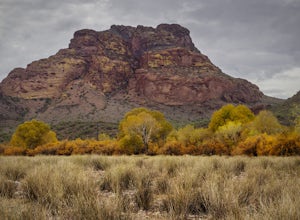
Hike the Lower Salt River Nature Trail
Fort McDowell, Arizona
2.5
2.4 mi
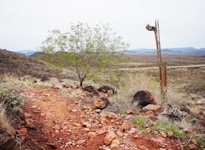
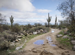
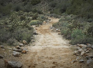
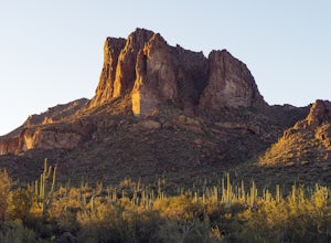
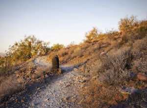
This scenic loop offers views of Four Peaks, the Salt River & Verde River, and a desert landscape with plenty of wildlife. Keep an eye out for eagles, wild horses, and other wildlife while you're on the trail. This trail starts from the Phon D Sutton Recreation site, which is located at the Salt River and Verde River confluence. To start the trail, begin at the west end of the parking lo...
Catch a Sunset Above Milner Pass
Estes Park, Colorado
This is a great place to be at sunrise or sunset. Bring a camera & tripod and check the weather ahead of time.Take Trail Ridge Road all the way to the top and park at the Alpine Visitor Center. There's a great view from here, but if you're interested in photography I recommend taking the trail southwest to a ridge where there are usually a few small ponds. Cross the road from the parking...
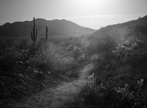
Hike Valley Vista from Turnbuckle Trail
Buckeye, Arizona
5.0
2 mi
The Valley Vista trail is a short hike in Skyline Regional Park, located in the southern region of the White Tank Mountains west of Phoenix. From the top you'll have a great view of the Estrella Mountain Range and the southwest valley. For the most direct route, take the Turnbuckle trail. This leads hikers from the trailhead around either side of the mountain to the Valley Vista trail which ...
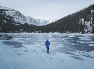
Hike to Idaho Springs Reservoir
Idaho Springs, Colorado
3.9 mi
/ 800 ft gain
This is a great hiking area an hour outside of Denver, Colorado. It's still easily accessible in the winter and most of the time it can be hiked without snowshoes.
Starting at the Echo Lake parking lot, hike around the right side of the lake until you reach a fork in the trail. Follow the path on your right until it leads you down into the valley and across the creek. Shortly after the crossing...
Hike The Shaw Butte Trail
Phoenix, Arizona
5.0
3.8 mi
/ 700 ft gain
The Shaw Butte Trail is a short loop hike that leads you to the top of Shaw Butte in the Phoenix Mountains Preserve. Beginning from the trailhead on Central Avenue, The first section of trail follows a steady uphill service road to the top. Near the top you'll find an array of towers and a good view of much of the valley. North Mountain can be seen immediately to the southeast and downtown Ph...
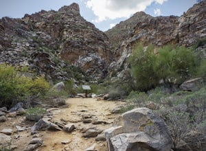
Hike to Waterfall Canyon
Waddell, Arizona
4.0
2 mi
/ 200 ft gain
So to fully enjoy the theme of this hike, make sure to try and go right after a rain. But also know that since this is a pretty easy hike, you will won't be the only one there. This is also a great hike/ waterfall to do with someone that is new to desert hiking, since it is relatively easy and there isn't a lot of elevation gain. The trail is clearly marked with interpretive signs pointing out ...
Deem Hills Loop
Glendale, Arizona
3.5
5 mi
Located in north Phoenix, the Deem Hills recreation area features a dog park, playground, soccer field, and trailhead leading into the neighboring hills.
To begin your hike, get around the dog park by starting at the Circumference trailhead on the north side of the parking lot. To complete the circumference loop counter-clockwise, take a right at the first fork in the trail. The path climb...
Hike North Mountain Trail
Phoenix, Arizona
4.7
1.4 mi
/ 600 ft gain
Beginning from the start of the trail on 7th Street, this short hike can be a good quick workout that offers great views of the greater Phoenix area. Be aware that this hike is a fairly steep climb 600 feet to the top. Once you reach the summit of North Mountain you'll find great views of the city in almost every direction. Look to the south and you'll see (drumroll please) South Mountain. P...
Hike Goat Camp Trail
Waddell, Arizona
16 mi
This is one of the less traveled trails in White Tank Mountain Regional Park. If you're looking for a solid day hike in the west valley, try this one. It isn't a loop, but it ultimately connects with some of the other long trails so if you're up for a long hike, you have options. This starts from the Goat Camp Trailhead and leads up Goat Canyon toward the towers that are visible from anywher...
Hike Black Mesa Loop
Apache Junction, Arizona
4.5
9 mi
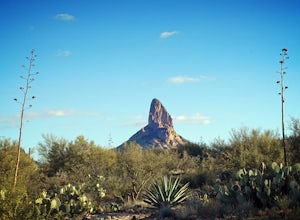
From First Water Trailhead, a short walk east brings you to the junction of the Dutchman trail and the Second Water trail. If you follow the Dutchman trail to the right you'll be heading southeast for a while, catching glimpses of Weaver's Needle in the distance. You can complete the loop going either direction, but if you take the Second Water trail (clockwise loop) the steepest section of t...
Hike Mesquite Canyon Trail
Waddell, Arizona
13 mi
/ 1394 ft gain
This is a great place to begin your hike in the White Tank Mountains. From the Ramada Way area, the trail begins to lead steadily into a small canyon. As you get further up, the trail will begin get more steep. After a short time it leads up to the first saddle and wraps around a ridge and becomes less steep as it leads you into a wide valley where you will find a fork in the trail. Both ro...
Catch a Sunset at Three Sisters
Gold Canyon, Arizona
5.0
Three Sisters is a huge rock formation in the southern area of the Superstition Mountains. This spot is only about an hour outside of Phoenix and it's a great spot to do photography in the evening or morning.This is accessed from the Wave Cave parking lot on the way to the nearby Peralta Trailhead. If you have time to hike while you're here, consider following the trail up to the Wave Cave it...
Run at Thunderbird Park
Glendale, Arizona
5.0
2 mi
/ 475 ft gain
This is a great spot to go for a quick run or a short hike if you're in North Phoenix. Thunderbird park is easily accessible with free entry and a number of picnic areas.There are 3 main hills with a variety of trail options to hike up/around each. From the top you'll find a nice view of valley and the north Phoenix area.From Glendale head North on 59th Ave past the freeway and into the hills...
Hike Holbert Trail to Dobbins Lookout
Phoenix, Arizona
4.0
4.1 mi
/ 1135 ft gain
Dobbins lookout is a popular high point in South Mountain Park that offers views of the entire Phoenix area. It's accessible by road or by trail with no entry fee. Consider going in the evening for the best views.If you plan to hike to the top, the shortest route is the Holbert trail. Take a left after the park entrance and find a place to park. Cross the road and you'll find the trailhead ...
Sprague Lake Loop
Estes Park, Colorado
5.0
0.81 mi
/ 26 ft gain
Located in Rocky Mountain National Park at an elevation of almost 8,700 feet, Sprague Lake offers visitors great views with very little effort required. It's a short 15 minute drive from Estes Park and hikers can take the short trail around the circumference of the lake. You'll find bathrooms and picnic sites as well as a camping area nearby.
If you're up for it, it's worthwhile to get up for ...
Community
© 2023 The Outbound Collective - Terms of Use - Privacy Policy

