Sonja SaxeExplorer
Seattle, WA based, adventuring everywhere. I'm on an endless journey to explore and photograph the national parks' scenic backcountry!
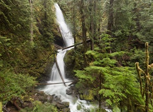
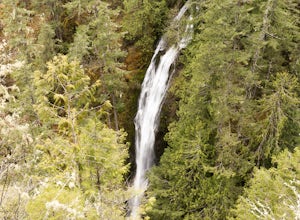
Hike to Murhut Falls
National Forest Development Road 2530, Washington
1.37 mi
/ 371 ft gain
The trailhead to Murhut Falls is located about 7.5 miles off US-101 S but the last couple of miles are on NF-2530 which can be potholed and rutted. I made it up the road in my 2WD sedan but it took quite some time to dodge all of the potholes.
This hike is nice and quick! It starts with a small ascent in the beginning before flattening out until the last twenty yards or so where it abruptly as...
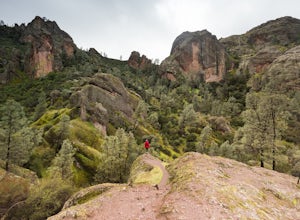
Hike the Juniper Canyon, High Peaks, Tunnel Trail Loop in Pinnacles NP
Paicines, California
5.0
4.3 mi
/ 1200 ft gain
Pinnacles National Park is located just over two hours outside of San Francisco (depending on the traffic). It was designated the 59th national park in 2013 and while it is small it offers beautiful views and unique wildlife viewing. Keep an eye out for California condors on this hike! This trail is accessed from the west entrance of the park. Once you pay your entrance fee you will drive a few...
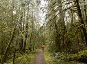
Hike Spoon Creek Falls
Spoon Creek Falls Trail, Washington
0.8 mi
/ 200 ft gain
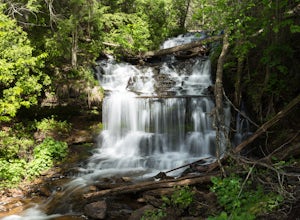
This is a great low effort, high reward hike that offers several viewpoints along the trail of the falls below before it meanders all the way to the shore of the creek. While it doesn't take long to hike to this spot you can easily spend an entire morning or afternoon exploring everything it has to offer.
Make sure to beware of the creek levels in the winter and spring, the current is swift an...
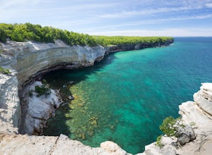
Chapel Basin to Beaver Creek Loop
Shingleton, Michigan
5.0
20.52 mi
/ 2244 ft gain
This two day (easily extended if you want more time to explore) hike offers some of the best views in all 40 miles of Pictured Rocks National Lakeshore. The days are split up into a 8.8 mile day and a 12.6 mile day and can be done in either direction but since I did the 8.8 mile day first I will explain the hike that way.
Day 1
The hike begins at the Chapel Basin Parking Lot, which is locat...
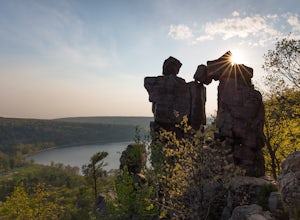
Hike the East Bluff Trail to Devil's Doorway
Baraboo, Wisconsin
4.8
2.4 mi
/ 500 ft gain
This hike begins at the east end of the North Shore Visitors' area. The hike starts relatively level before turning to the right and leading you up steps. The spectacular views come quickly on this hike as immediately after you reach the top steps you will be treated to your first glimpse of the lake from the bluffs. The trail continues to climb through the oak forest with many stopping points ...
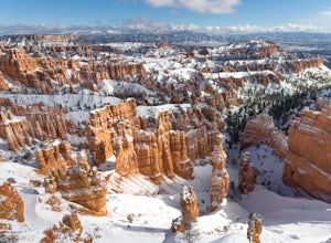
Peek-a-Boo Loop in Bryce Canyon
Bryce, Utah
4.5
4.98 mi
/ 1388 ft gain
This 5 mile hike begins at an elevation of 8000' at the Navajo Loop trailhead at Sunset Point. The view from the lookout of Sunset Point is only just a small taste of the sweeping vistas you will see on the hike. From Sunset Point follow the sign for the Navajo Trail and begin descending into a sea of towering spires and pinnacles. You will have great views of the famous Thor's Hammer on the wa...
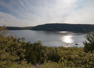
Camp at Devils Lake State Park
Baraboo, Wisconsin
3.0
Devil's Lake State Park has 29 miles of trail that vary in difficulty. The most popular trails are the East and West Bluff trails that circle Devil's Lake and offer some of the best views in the park. If you want a more relaxing day, head to the beach! It's a family-friendly spot that is the perfect place to spend a warm afternoon.Book a campsite in advance (fees here) to secure a spot. The cam...
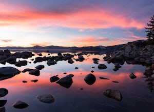
Sand Harbor Nature Trail
Washoe County, Nevada
4.5
0.54 mi
/ 33 ft gain
While Sand Harbor Park is a popular summer destination, the sunsets from this spot are breathtaking year round and you will have less company in the winter. The park is located right off of Highway 28 and has an admission fee of $7. There is a parking lot that fills up quickly in the summer, so arrive early during the warmer seasons in order to get a spot on time.
Once parked head towards the ...
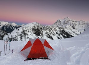
Winter Backpack to Artist Point
Deming, Washington
4 mi
/ 1000 ft gain
You do need a Northwest Forest Pass to park in the lot overnight. You can buy a day use E-pass online here (pick Mount Baker-Snoqualmie National Forest from the drop down menu) and print it out and it's ready to use. Or you can buy the annual pass here.The adventure to Artist Point begins in the Mt. Baker ski area. There is a lot of hustle and bustle in the ski area on weekends and busy days so...
Camp at Wai'anapanapa State Park
Hāna, Hawaii
4.0
5 mi
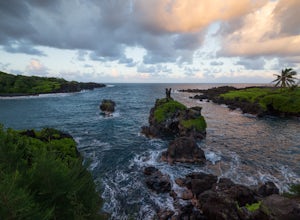
Wai'anapanapa State Park is located at mile marker 32 on the Hana Highway. The park has limited parking, but many of the tourists are making quick stops on their journey to Hana and the turnover for parking is fast. Once parked, check in at the office to obtain your overnight permit (must be ordered online ahead of time) and stake out a camping spot on the lawn.After your camp is set up you can...
Backpack the Tanner Trail in Grand Canyon National Park
Grand Canyon Village, Arizona
18 mi
/ 4900 ft gain
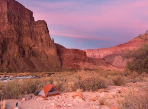
The trip requires a backcountry permit for zone BB9 (reserve HERE). Backcountry permits in Grand Canyon National Park are available for reservation on the 1st of the month 4 months prior to your trip date (e.g. if you wanted to go on a trip on May 20 you could reserve your permit on January 1st). Permits cost $10 plus $8 per person per night.
The route to Tanner Beach starts from Lipan Point. ...
Explore Wagner Falls
Munising Township, Michigan
5.0
Wagner Falls is an easy-to-reach waterfall right off of 94. There are parking areas on both sides of the highway so even when the trail is busy you will likely find a spot. Its close proximity to the highway and short trail make Wagner Falls the idea place to go if you are limited on time but want a rewarding view.The trail to the falls is only a quarter-mile and ends at a viewing platform that...
Munising Falls
Munising, Michigan
4.3
0.37 mi
/ 72 ft gain
Munising Falls is a 50' falls located inside the city limits of Munising. The trail to the waterfall is directly outside the visitor center and makes for a quick and easy hike after stopping by to pick up a permit or check in with a ranger.
The paved trail is cool and shaded as it follows a creek to a viewing platform at the base of the falls. There are also two sets of stairs that lead to ad...
Explore Kitch-iti-kipi ("Big Springs")
Manistique, Michigan
4.5
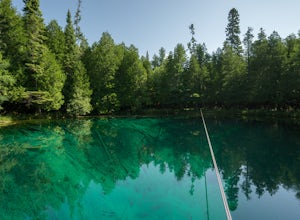
Kitch-iti-kipi is a beautiful and easily accessed attraction in the southern region of Michigan's UP. The springs are a short 11.5 mile drive from the town of Manistique and are the perfect side trip for a UP getaway.Parking is plentiful at Palms Book State Park and a parking attendant will check for your recreation passport as you pull in. If you do not have one you can buy one on the spot. Th...
Snowshoe or Ski to Lower Montgomery Pass Yurt
Walden, Colorado
5.6 mi
/ 853 ft gain
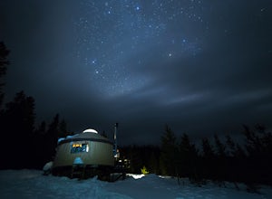
The Lower Montgomery Pass Yurt is a part of the Never Summer Nordic yurt system and can be reserved through their website here. In the summer it can be accessed via a 4WD road but in the winter the road closes and you can either ski, snowshoe, or snowmobile the 2.8 miles to the yurt. The trek begins at the Montgomery Pass winter parking lot which is located on the right side of Jackson County R...
Explore Slieve League
County Donegal, Ireland
5.0
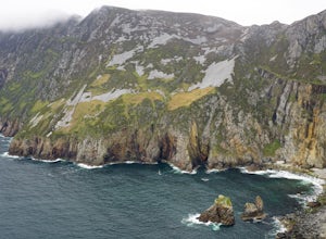
Slieve League (also: Sliabh Liag) is a mountain located in County Donegal on the Atlantic coast. Towering at an impressive 1,972 feet (609m), Slieve League is home to the highest sea cliffs in Europe. The cliffs are nowhere near as famous as the Cliffs of Moher but are over three times as tall.Getting to Slieve League is a journey itself. You will follow a narrow road as it winds its way up the...
Backpack the Painted Desert in Petrified Forest National Park
Petrified Forest National Park, Arizona
9.55 mi
/ 804 ft gain
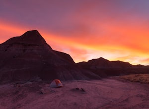
The Painted Desert is sprawling, its reach extends from the Four Corners, west to the Grand Canyon and south to Petrified Forest National Park. In total it encompasses 7,500 square miles and is full of colorful mesas that are worthy of its name. In Petrified Forest National Park you can head out into the backcountry to explore this otherworldly desert landscape.
Your first order of business is...
Hike the Spinc and Glenealo Valley Trail in Glendalough
Wicklow, Ireland
5.0
5.6 mi
/ 1246.7 ft gain
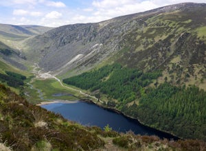
Glendalough is located in Wicklow Mountains National Park and is just over an hour's drive from Dublin, making it the perfect day trip from Ireland's capital city. There are 9 hikes of varying lengths and difficulties in Glendalough but the 9km Spinc and Glenealo Valley Trail (White Route) is the perfect hike to see everything the area has to offer. I recommend parking at the Glendalough Visito...
Kayak the Wisconsin River in the Dells
Wisc Dells, Wisconsin
4.5
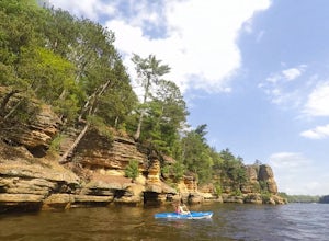
Just minutes away from the hullabaloo of downtown Wisconsin Dells is the perfect spot to launch a kayak and paddle the Wisconsin River. Finding a place to launch a kayak on the Wisconsin River can be tricky but we found the perfect spot. To get there drive through downtown Wisconsin Dells and take a left on River Road then another left on Illinois Avenue. There is parking along Illinois Avenue ...
Explore Carrick-a-rede
Moyle, United Kingdom
5.0
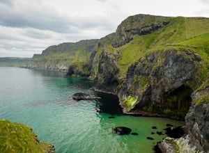
Located just over an hour north of Belfast lies the tiny island of Carrick-a-rede and the famous rope bridge that connects it to mainland Northern Ireland. The rope bridge was initially built as a way for fisherman to access their fishing nets back in 1755. In 2008 it opened to the public and is now used by tourists to conquer a fear of heights and get the perfect vantage point of Northern Irel...
Winter Hike to Loch Vale
Larimer County, Colorado
4.0
5.4 mi
/ 1056 ft gain
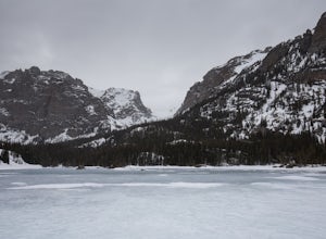
This winter adventure begins at the popular Glacier Gorge Trailhead in Rocky Mountain National Park. Make sure you arrive early as the parking lot fills up quickly! We started the hike with our microspikes on and carried our snowshoes. The park ranger informed us snowshoes may be necessary in some spots but the trail started off very nicely packed and microspikes sufficed.
The trail gradually ...
Explore Powerscourt Waterfall
Wicklow, Ireland
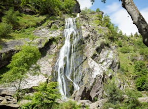
The Powerscourt Waterfall grounds are beautiful; picture an incredibly green wooded area with a towering waterfall cascading down a rock wall and then flowing into a gentle creek running through a forest that is full of chirping birds. Can you imagine a spot more perfect for a picnic? It's also a great place for kids because there is a playground. There is a concession kiosk that operates in th...
Hike Falls View Canyon
27662-27664 Olympic Highway, Washington
1.5 mi
/ 300 ft gain
This hike is located immediately off of Highway 101 in the Falls View Campground. If the campground is closed you can park right outside of the gate (but don't block it) and hike in. Inside the gate you will see 3 paths in front of you, take a left and after about a quarter mile you will reach the trail head. There are actually two trail options here. I recommend hiking the option on the right ...
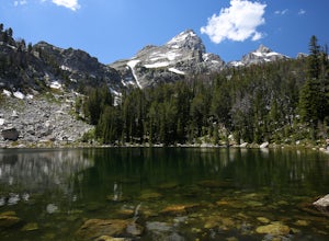
Surprise Lake via Lupine Meadows
Alta, Wyoming
9.69 mi
/ 2946 ft gain
Getting Started
There is a good amount of parking at the Lupine Meadows Trailhead but on weekends and nice days it will fill up quickly so it is best to arrive as early as possible.
The Trail
The trail to Surprise Lake starts relatively level before quickly beginning to ascend after about a third of a mile and once the ascent starts, it doesn't stop, so be prepared for a strenuous uphill sl...
Community
© 2023 The Outbound Collective - Terms of Use - Privacy Policy

