Shalee BlackmerExplorer
I have my heart in Michigan and my mind around the world. Adventurer, travel blogger and outdoor enthusiast. You'll probably find me in the woods.
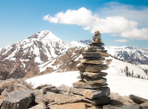
Ben Lomond via North Skyline Trail
Ogden, Utah
5.0
15.75 mi
/ 3671 ft gain
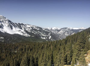
The trail starts in the Right Fork North Ogden Canyon near Liberty, Utah. Park in the main parking lot and then cross the road to the trailhead. You will see a sign at the beginning indicating that the Ben Lomond summit is 8.2 miles away.
In the spring, it is quite difficult to make it all the way to the summit. Snow covers most of the path well into May, however I'd still highly recommend th...
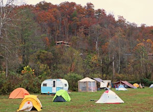
Camp at Miguel's Pizza
Slade, Kentucky
4.0
The Red River Gorge is known for the best rock climbing in the east. A man named Miguel opened a pizzeria in the gorge, and soon began letting climbers camp behind the restaurant for a mere $2/night. Today, the tradition has continued, and dozens of climbers call Miguel's Pizza their climbing home.Campers have the choice between sleeping in their car, a tent, or a hammock behind the restaurant....
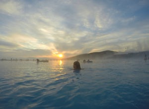
Bathe in Myvatn Nature Baths
Reykjahlíð, Iceland
4.8
Myvatn Natural Hot Springs are an alternative hot spring to the well-known Blue Lagoon in Iceland. The $18 student tickets are much more affordable than the prices of $75 for other nature baths.Because Myvatn is located on the other side of the country than the main airport, it is less crowded, yet offers the same great experience. The prime location sits in the middle of Viti Crater and Hverfj...
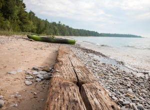
Camp at Fisherman's Island State Park
Charlevoix, Michigan
0 mi
/ 0 ft gain
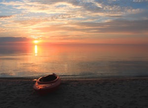
Located just south of Charlevoix is Fisherman's Island State Park. The park offers miles of biking/hiking trails, and campsites directly on the beach of Lake Michigan.
Although located just outside of town, there is no service in this area, leaving you completely cut off from the outside world. The shore is located in a small bay area, which makes it a perfect location for SUPing and kayaking....
Hike Sugarloaf Mountain, MI
Marquette, Michigan
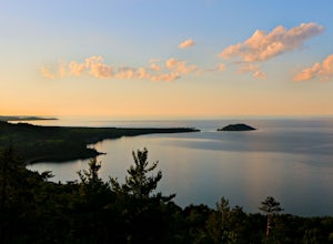
Located just outside Marquette, Sugarloaf Mountain offers stunning 360 views of Michigan’s Upper Peninsula. The trail is short with two route options: difficult and easy.The difficult trail is still extremely easy, with the distance to the top under a half mile. The last couple hundred feet are guided by a staircase. Despite the mild trek, the view is not to be missed. At the top, platforms and...
Hike Empire Bluff Trail
Honor, Michigan
5.0
2 mi
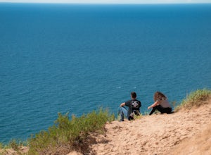
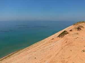
This moderately hilly boardwalk hike takes you to scenic viewpoints above Lake Michigan. The Sleeping Bear Dunes do not fail to impress, particularly at sunset.
Hike Lake of the Clouds in the Porcupine Mountains
Ontonagon, Michigan
1.4 mi
/ 334 ft gain
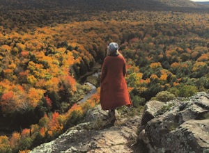
Hiking in the porcupine mountains could be a day trip or a week trip. From a short rim hike overlooking Lake of the Clouds to a three day back country camping excursion, there are endless amounts of options for planning a getaway to the Porcupine Mountains.
Located in the far northwest of Michigan, the Porcupine Mountains are the only designated mountain range in state. They sit on the edge of...
Camp in the Nordhouse Dunes Wilderness
Free Soil, Michigan
4.6
The Nordhouse Dunes Wilderness Area is located south of Manistee along an extremely isolated shoreline. Most hikers prefer to camp two nights along the shores of Lake Michigan, but some choose to call the dunes home for weeks at a time. This is an area of backwoods camping, where sites can be established either in the woods or on sand dunes. It is also known for its hammock camping, which allow...
Climb Mount Wheeler
Taos Ski Valley, New Mexico
4.7
6.2 mi
/ 3083 ft gain
Mount Wheeler is the highest peak in New Mexico at 13,161 feet and is considered the 8th highest state peak.
The hike begins just over 10,000 feet near the Bavarian Restaurant. Drive past the Taos Ski Resort and follow the signs for the restaurant until the road ends.
The 6.2 mile trek begins at the trailhead for Williams Lake, an easy out-and-back trail. Around the 1.8 mile mark of the hike ...
Miners Falls
Munising, Michigan
4.8
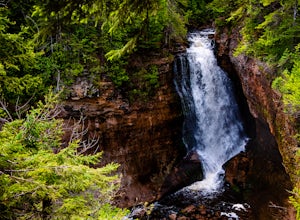
A simple hike from the trailhead will take you through the woods and to the viewing deck of Miners Falls. There are well marked signs to the trailhead from the main road, which is extremely helpful with the lack of cell phone service in the area.
The hike is 1.2 miles round trip and requires no hard terrain challenges to the viewing deck. However, what makes these falls unique is following a t...
Hike to Big Sable Point Lighthouse
Ludington, Michigan
4.7
3.6 mi
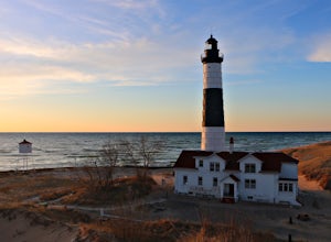
Big Sable Point Lighthouse is perhaps one of the most scenic locations in Michigan. A 3.6 mile round trip hike along the Lake Michigan shoreline will bring you to the destination, which is nestled among sprawling sand dunes. Each evening, it offers a stunning sunset along the sandy beaches.A short distance from the lighthouse, back-country camping is offered. Those who are looking to obtain a p...
Camp on South Manitou Island
Leland, Michigan
5.0
South Manitou Island is situated off of the Sleeping Bear Dunes National Lakeshore in Lake Michigan. The island is only accessible by a two-hour ferry ride, which leaves once a day from Leeland.Upon arriving at the island boat dock, you'll soon realize this isn't an ordinary experience. South Manitou is designed for back-country camping and does not allow vehicles or motorized transportation on...
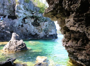
Cliff Jump at the Grotto
Tobermory, Ontario
4.6
What if you could free dive, cliff jump and embark on a hundred mile hiking journey, all in the same place? Well, you can!The Grotto is a small cave on the shores of the Georgian Bay. It is accessible by land, if you are willing to scramble down a rock face to the base of the water.Inside, the water glows a light blue from light shining through an underwater cave and into the Grotto. Instead of...
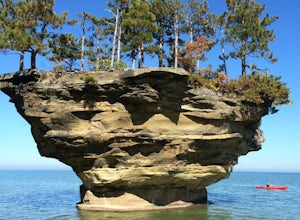
Kayak to Turnip Rock
Port Austin, Michigan
5.0
Only accessible by a kayaking adventure, Turnip Rock is a one-of-a-kind natural wonder.Although it is close to shore, all land surrounding it is privately owned and therefore not accessible by foot. Kayak rentals can be found in downtown Port Austin.Most of the trek is over shallow water. Upon arriving to the location, you can beach your kayak on the nearby shore and walk to the base of the roc...
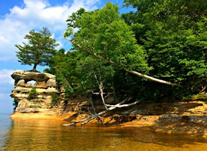
Chapel Loop
Shingleton, Michigan
5.0
10.27 mi
/ 1306 ft gain
The trail loop from Mosquito Beach to Chapel Rock takes hikers through woods, to the edge of cliffs, and to the bottom of beaches along the Pictured Rocks National Lakeshore. The trail head begins inland and contains a 10.4 mile loop to numerous locations and viewing areas.
The cliffs tower to heights hundreds of feet high over Lake Superior. Hikers are able to test their fears by standing or ...
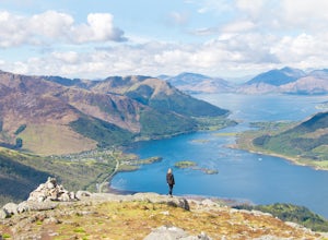
Hike the Pap of Glencoe
Glencoe, United Kingdom
4.5 mi
/ 2148 ft gain
Begin the hike at the above coordinates and follow the path a few hundred feet along the road before diverting left through a gate and up an open field. Shortly after beginning up the hill, you'll come to fork. Follow the path over the footbridge and begin your journey to the Pap of Glencoe!
Start early as the initial parking area fills up quickly. If you leave before 9:00am, there's a solid c...
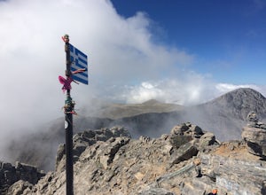
Climb Mount Olympus
Pieria, Greece
5.0
5 mi
/ 5000 ft gain
Getting to the trailhead of Mount Olympus includes a 17km drive up the winding mountains north of the Greek town of Litochoro. Once at the trailhead, begin the steady ascent up the Prionia trail. There are three official routes up Mount Olympus, but Prionia is the most traveled and easiest route to the top. Most of those climbing Mount Olympus complete the hike over two days, with an overnight ...
Community
© 2023 The Outbound Collective - Terms of Use - Privacy Policy

