Emily KentExplorer
A girl with a photo habit who loves nature a whole lot. A Minnesota native in Edwards, Colorado. Other loves of mine are my two little girls, my hubby, camping, hiking, surfing, singing, cycling, swimming and a good hoppy IPA. Instagram @emilyelizabeth.115
Dipsea Trail - Steep Ravine Loop
Marin County, California
5.0
3.97 mi
/ 1204 ft gain
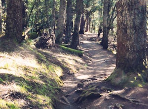
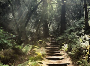
This is definitely a worthwhile short hike, with views of the Bay Area, Marin Headlands, Golden Gate, and the San Mateo coastline. It's a 3.8 mile loop which takes you through forests of Redwoods and out to the coastline, even above the clouds on a lucky day.
The trailhead begins at the Pantoll Ranger Station: Follow Panoramic Hwy from Hwy 1 to the junction of Panoramic Hwy and Pantoll Road. Y...
Hike Sugarloaf's Pony Gate-Canyon Loop
Kenwood, California
4.0
1.7 mi
/ 450 ft gain
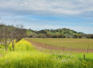
The Pony Gate-Canyon Loop within Sugarloaf Ridge State Park is a new favorite of mine on my list of family and kid-friendly hikes. Our little girls did great with this hike and loved it. If you can get moving early in the day and begin your hike around breakfast time, you might find there are few or no others on the trail with you, even on a weekend day. To get to the trail head, take Hwy 12 to...
Bike the Cantelow Climb
Vacaville, California
5.0
19.68 mi
/ 1119 ft gain
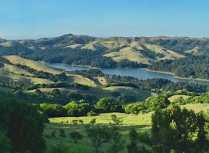
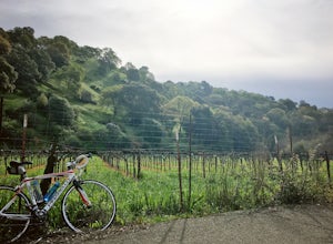
Begin your ride from Lagoon Valley Park in Vacaville, California. There is a parking lot here if you drive to the start of your ride (the park entrance fee is $3 per vehicle per day). Head out of the parking lot and turn right onto Rivera Road where you'll cross over Hwy 80. The road becomes Cherry Glen Rd. Continue on Cherry Glen Rd. until you reach Pleasants Valley Road where you'll turn righ...
Photograph the Annual Sandhill Crane Migration
Chapman, Nebraska
5.0
This isn't your standard hiking/camping excursion, though it is a sight and sound of nature that you'll never forget. Every year, between 12,000 and 15,000 people from around the globe travel to Nebraska to witness this extraordinary event. Even if you don't consider yourself a photographer, simply waiting in the blinds and quietly witnessing the arrival of thousands upon thousands of Sandhill ...
Lake Marie Road, Marie Creek, Buckeye Trail Loop
Napa, California
3.5
5.8 mi
/ 961 ft gain
Enter the parking lot just off of Hwy 221. Plan to pay a $5 entrance fee at the kiosk. The trail head begins at the edge of the parking lot where you'll soon be passing by the Martha Walker Native Habitat Garden on your right. Veer left to continue along Lake Marie Road where you'll enter the blue oaks and buckeyes to begin a moderate ascent. The trail becomes increasingly rocky as you climb, b...
Wildcat Peak via Nimitz Way
Berkeley, California
4.7
4.16 mi
/ 459 ft gain
Tilden Park is a beautiful recreational area with scenic hiking trails, a swimming lake, small animal farm, a steam train and botanical gardens. The versatility of this park makes it very family and kid friendly, and those who are looking for a moderate hike within the park have almost forty miles of trails to check out. Because of the popularity of the park, try to head out along the trails du...
Bike the Gordon Valley to Wooden Valley Scramble
Fairfield, California
5.0
13.5 mi
/ 498 ft gain
This is a 13.5 mile loop route in Fairfield, California. The route has a total ascent of 498 feet and has a maximum elevation of 369 feet.Begin your ride at the corner of Oliver Road and Mankas Corner Road. Along Mankas Corner Road you'll pass the Napa Grass Farmer community farm and Il Fiorello Olive Oil Company. Veer right onto Clayton Road, then left onto Gordon Valley Road. Bike the rolling...
Bike the Lake Berryessa Loop
Vacaville, California
55.82 mi
/ 1007 ft gain
Begin your ride in Vacaville, California out of Alamo Creek Park (street parking is available and free). Head north on Alamo Drive and veer left onto Foothill Drive, then left (South) onto Pleasants Valley Road. After two miles, veer left onto Cherry Glen Road. Stay to the right when you reach the fork to continue onto Lyon Road. Continue on Lyon for about two miles, and stay to the right at th...
Hike the Humboldt Redwoods River Trail
Humboldt County, California
3.4 mi
/ 450 ft gain
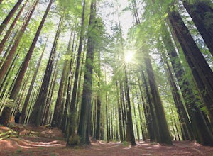
You probably won't find as many people along this trail (which I like!) as it's unmarked and sits just south of Rockefeller Loop which draws a good number of visitors, primarily because it has the tallest trees (also definitely worth a visit!). The River Trail is a relatively short, flat hike with an ascent of only 450 ft, but it's a perfect activity that will take you along a quiet, serene pat...
Hike the Stebbins Cold Canyon Loop
Winters, California
4.0
4.5 mi
/ 350 ft gain
Stebbins Cold Canyon is a great day hike for all skill levels, accessible year round, and offers an abundance of wild flower viewing, including the California poppy. Tog get to the hike, head about 8 miles west of Winters, CA, where a silver fire gate marks the main entrance to the Stebbins Cold Canyon Reserve. The trailhead is a 10-minute walk from the entrance.Poison oak is abundant and rattl...
Camp and Fish at Eleven Mile Canyon
Lake George, Colorado
4.4
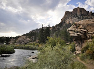
Located below the dam of the Eleven Mile Reservoir, Eleven Mile Canyon is a scenic spot for camping, fishing, hiking and climbing. There are four different campgrounds to choose from (Cove, Riverside, Spillway and Springer), though only one campground remains open during the off season. Getting there:From Lake George, CO at US Highway 24 take County Road 96 south. After two miles veer right at ...
Ropi Lake via Pyramid Creek
Twin Bridges, California
4.7
4.87 mi
/ 1581 ft gain
The trailhead to begin this hike is located at: 38.8117 N, 120.1237 W. From Hwy 50 just south of Lake Tahoe, take Hwy 50 southwest for almost 11 miles, where you'll turn into the parking lot after crossing Pyramid Creek. There is a $5 day-use fee to park in the trailhead parking lot.
The hike is ~5 miles round-trip, though plan on it taking significantly longer than an average hike of this di...
Hike the Upper Piney River Trail
Vail, Colorado
4.0
5.6 mi
/ 350 ft gain
Beginning at an elevation of 9,397 feet, this hike provides an easy 2.8 mile (one way) trip through the gorgeous meadows against the distant aspens and alpines. Wildflowers and wildlife are abundant, which make this trip a fantastic education and play experience for kids.Coordinates for the trailhead and parking lot are: 39.648401, -106.396320 From the parking lot (just before the entrance to ...
Paddle the Boundary Waters' Seagull to Saganaga Loop
Grand Marais, Minnesota
29 mi
First, things first - plan your trip well! There are many details that need to go into planning even a short trip into the Boundary Waters. Various websites and companies exist to help you plan and check off all of the boxes prior to your departure date. The bwca.com website is one I found to be very helpful when planning my trip: http://www.bwca.com/index.cfm?fuseaction=gear.yourLocation: From...
Hike Through the El Yunque Rain Forest
Rio Grande, Puerto Rico
4.6
5 mi
/ 1500 ft gain
Hiking the El Yunque Trail is a 5 mile round trip, about 3 to 4 hours in duration, with a moderate to difficult skill level. In parts, the paved path is well-maintained, and in others, you'll need to navigate very wet, muddy terrain. The trail takes you up up through the Palo Colorado Forest, to the Palma Sierra, and finally the Dwarf Forest. Be sure to take note of your path as certain areas o...
Community
© 2023 The Outbound Collective - Terms of Use - Privacy Policy

