Matt PurcielExplorer
California native and outdoor enthusiast and who's always in search for the beauty of creation.
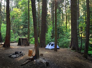
Camp at Nelder Grove Campground in Sierra National Forest
Oakhurst, California
0 mi
/ 0 ft gain
Sites are located along Willow Creek with plenty of shape. Right out of the campground you can hike nearby Bull Buck Trail and discover the giant sequoia trees. This is a first-come first-serve campground so arrive early.Directions: Take Hwy 41 north from Fresno; continue thru Oakhurst to Sky Ranch Road (6S10), which is also Forest Road 10, travel 6.6 miles turn left on 6S47Y, go 1.2 miles to t...
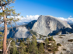
Hike the North Dome Loop via Yosemite Falls Trail
Yosemite Valley, California
4.0
18 mi
/ 5200 ft gain
One ofthe most challenging and rewarding hikes on the northern rim of YosemiteValley.
This is an alternative to the often crowdedMist, Panorama or 4-Mile Trails. Or if you are not able to grab a permit tohike Half Dome this is great choice. Some of the highlights include hiking tothe top of North America’s tallest waterfall, Columbia Rock, Yosemite Pointwith direct views of Half Dome, North Do...
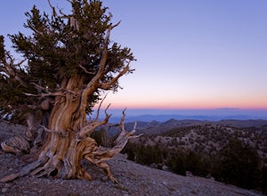
Photograph the Bristlecone Pine Forest
Inyo County, California
5.0
To get to the goods head east out of Big Pine, CA on Hwy 168 into the mountains for 13 miles. Turn left (north) on White Mountain Road to the Bristlecone Pine Forest. The road winds through a beautiful forest of Pinyon Pines and Western Junipers and leads to amazing views of the rugged Sierras. In 10 miles, you'll turn right to arrive at the Schulman Grove parking lot. There are plenty of bris...
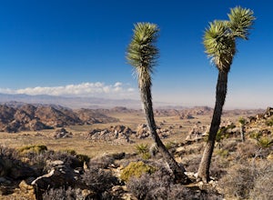
Hike Ryan Mountain
Riverside County, California
4.8
2.86 mi
/ 1056 ft gain
One of the most prominent peaks in Joshua Tree National Park in Ryan Mountain. It's centrally located rising to a total of 5,456 feet above the valley floor. The trail to the peak is a moderate hike with a little over 1,000 feet elevation gain with panoramic views of Lost Horse Valley, Queen Valley, and Pleasant Valley. And it’s popular reputation is all well deserved.
There's pretty much ju...
Hike to Mountain Palm Springs, Anza Borrego SP
San Diego County, California
3 mi
/ 350 ft gain
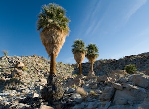
At first glance the Anza-Borrego desert appears lifeless, a wasteland of rocky plain peaks rising up from Carrizo Plains covered in Cholla cactus and Ocotillo. But one of the surprises is a mirage of California fan palm groves hidden in a series of canyons.The Mountain Palm Springs oasis loop is really two separate hikes from the same trailhead that end at the extensive Palm Bowl Grove. The two...
Hike to Wapama Falls
Groveland, California
4.71 mi
/ 623 ft gain
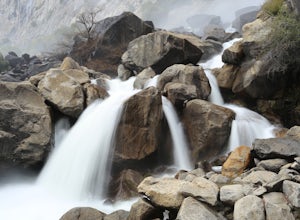
Hetch Hetchy has a completely different character than other areas of Yosemite National Park, and the hike to Wapama Falls is an excellent way to explore this relatively remote section of the park. You can only imagine what this valley looked liked before it was dammed and is second to none compared to Yosemite Valley.
The hike is relatively easy as the trail wanders around the northern shore...
Hike to the Waterfalls of Lundy Canyon
Lee Vining, California
3 mi
/ 200 ft gain
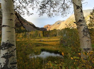
In order to get to the trail you first have to drive past the beautiful Lundy Lake nestled in deep canyon. When the pavement ends continue for a couple miles as the scenery gets more amazing passing two beaver ponds and an Indian head. The hike begins where the dirt road ends in a loop. The trail starts in aspen forest and soon leads to another pond. The path follows the ridge and leads to a sw...
Bishop Pass Trail
Bishop, California
5.0
11.13 mi
/ 2165 ft gain
To get to the hike drive twenty miles west from the town of Bishop, California up Hwy 168 to South Lake. There are two parking lots but make sure to get there early because later in the day it's harder to get a spot.
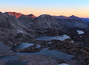
The trail starts from South Lake at an an elevation of 9,750 feet. Initially it drops down a few dozen feet paralleling the shore line, then it begins to slowly gain altitude as...
Teutonia Peak Trail
San Bernardino County, California
5.0
3.15 mi
/ 623 ft gain
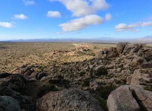
Teutonia Peak is a rocky 5,755-foot mountain on the edge of Cima Dome in the north east section of Mojave National Preserve. The dome is 1,500 feet tall is the most symmetrical dome of its type in the United States.
The hike starts with a gradual trail through an impressive forest of Joshua Trees along with other varieties of yuccas as you hike up the edge of the granite Cima Dome.
At ju...
Enjoy a Sunset at Tuolumne Meadows
YOSEMITE NATIONAL PARK, California
5.0
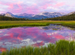
Tuolumne Meadows at an elevation of 8,619 feet exemplifies the high country of the Sierra Nevada, with its sweeping sub-alpine meadows, granite domes, summer wildflowers and meandering rivers. When the forest opens up park along the side of the road and find a trail. There are also plenty of nearby hikes including Pothole Dome trail, which tracks along the western edge of Tuolumne Meadows. The ...
Hike to Mist Falls
Sierra, California
4.5
9 mi
/ 600 ft gain
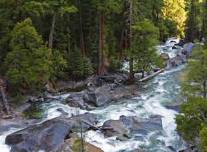
The trailhead starts at Roads' End (the end of Hwy 180). Take the Bubbs Creek/Kanawyer Loop Trail and hike east. For the first three miles the trail is relatively flat through an open pine forest. Make sure to look up as there are some great views of the valley. The granite walls on both sides of the river rise a couple thousand feet above the canyon floor, making Kings Canyon feel like an encl...
Photograph the Fall Colors of McGee Creek
Mammoth Lakes, California
5.0
3 mi
/ 500 ft gain
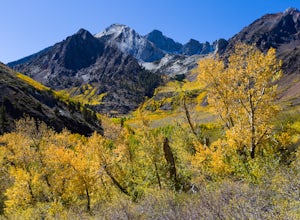
McGee Creek is one of my favorite spots in the Eastern Sierra to photography the fall color. Most people avoid the area because the best views require you to hike and explore but the rewards are worth it. Right close to the parking lot is McGee Creek which is a beautiful creek to photograph offering intimate water shots with the golden aspens. Or hike up the trail that right off provides dramat...
Watch the Spouting Horn Blowhole
Koloa, Hawaii
3.5
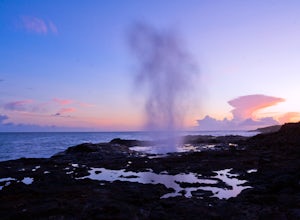
On the South Shore you can find the Spouting Horn. There's a small beach park with a great lookout where you can watch a blowhole spout a plume of thundering water into the air. This waterspout occurs whenever the waves are forced under the rocky shelf and up through a lava tube. The water sometimes hisses and roars. If the light is right, you may be able to catch a rainbow in the sea spray.Acc...
Community
© 2023 The Outbound Collective - Terms of Use - Privacy Policy

