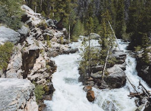
Backcountry Ski or Snowboard at Cameron Pass
Walden, Colorado
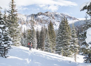
To get to Cameron Pass, drive west out of Fort Collins from Highway 287, to Highway 14, into Poudre Canyon. Take the drive all the way through Poudre Canyon, and soon you will climb out of the canyon and towards the continental divide at Cameron Pass. Once you see the sign at the top of the pass there will be a parking lot on the right, pull in there, this will be the primary parking lot.From h...
Explore the Maquoketa Caves
Maquoketa, Iowa
4.5
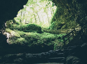
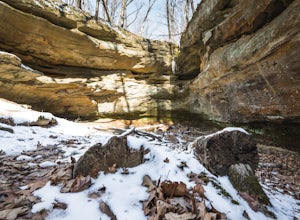
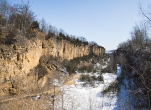
From the Maquoketa Caves State Park office, near the parking area, hike north for access to 8 of the 16 caves in the park. These caves include Wide Mouth Cave, Dug Out Cave, Twin Arch Cave, Hernando's Hideaway, Up-N-Down Cave, Widow Cave, Match Cave, and Upper Dancehall Cave. Other attractions in the northern half of the park include the Natural Bridge and the northern section of Racoon Creek.I...
Hike the Mahogany Loop Trail at Soapstone Prairie Natural Area
Wellington, Colorado
7.4 mi
/ 330 ft gain
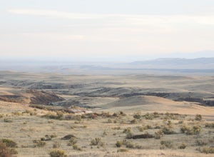
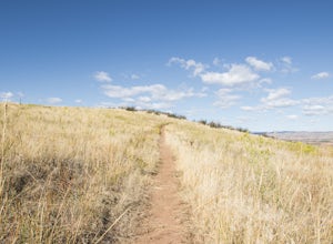
To get to Soapstone Prairie from Fort Collins, take Highway 287 north out of town, then turn right onto Highway 1. Continue on Highway 1 until it meets with County Road 15. Take County Road 15 north all the way to Rawhide Flats Road, which leads directly into Soapstone Prairie. As you begin to approach the Prairie, you will enter through the first set of gates. This is the southernmost part of ...
Hike to American Lakes
Walden, Colorado
5.0
11 mi
/ 1680 ft gain
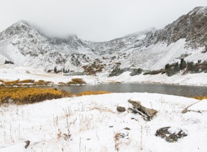
American Lakes are two high alpine lakes located within State Forest State Park and the Never Summer Mountain Range. The park is located about 75 miles west of Fort Collins, Colo. along Highway 14 on the west side of Cameron Pass.Coming down from Cameron Pass, look for a sign for the American Lakes Trailhead. When turning into the access road, make sure to fill out the form and pay the daily fe...
Hike to Devil's Punch Bowl, WIldcat Den SP
Muscatine, Iowa
1.3 mi
/ 235 ft gain
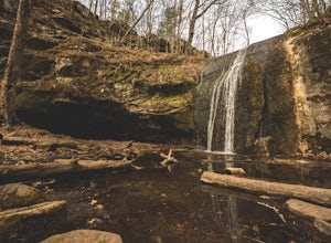
Wild Cat Den State Park is located between Blue Grass, Iowa and Muscatine, Iowa, just south of the Quad Cities. If traveling on Highway 22, look for Wild Cat Den Road. If you are coming from Highway 61, look for Vail Road, and then turn left on to New Era road, which will lead into the park.
Park in the north lot (this is where the pin is located). From the parking lot, the trail splits, howev...
Fire Point Loop Trail
Harpers Ferry, Iowa
5.0
1.78 mi
/ 492 ft gain
To get to Effigy Mounds National Monument travel to the town of Marquette, Iowa. If you drive north of town about three miles, the road will curve to the left, and the park entrance will be on the right.
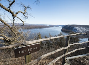
After you park, you may take a stop in the Visitor Center to grab a map or any souvenirs. From the Visitor Center, follow the deck to the left side of the building to the bridge.
Once you c...
Explore Columbus Junction's Swinging Bridge
Columbus Junction, Iowa
4.5
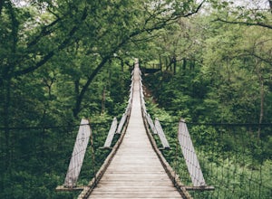
The Swinging Bridge is one of the main attractions in Columbus Junction, Iowa. The highway runs straight through town. As you drive into town you will see multiple signs about the bridge. About half-way through town you will take a left, and the bridge is only a few yards away. It is free to walk across the bridge. The bridge is a fun place to hang out with friends and relax. We tied a hammock...
Hike the Bent Rock Trail at Red Mountain Open Space
Wellington, Colorado
2.6 mi
/ 200 ft gain
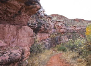
To get to Red Mountain Open Space from Fort Collins, take Highway 287 to Highway 1. Follow Highway 1 until you see County Road 15, get off there. This is where it gets confusing, so hang on. You will follow CR15 for a few miles until CR78, take a left onto CR78. Then take a right on CR17, then a left on CR80, then a right on CR19. Finally you will come a T-intersection with CR19 and CR21, take ...
Photograph Poudre Falls
Bellvue, Colorado
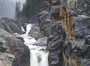
To get to Poudre Falls, simply drive up Poudre Canyon on Highway 14, just north-west of Fort Collins.
The drive all of the way up to the falls is a little bit of a jaunt and will take about an hour or so. There are plenty of cool things to see on the way, so have the camera in the passenger seat!
As you head up the canyon you will pass the Sportsman's Lodge Cabins and Campground (on the right...
Hike the Horseshoe Bluff Trail
Dubuque, Iowa
5.0
1.6 mi
/ 208 ft gain
To get to the trailhead within Mines of Spain, drive to the Dubuque area, turn off of Highway 61/151, and on to Highway 52. From Highway 52, turn left onto Mines of Spain Road until you find the parking lot. Once you park your car, go up the wooden stairs to the trail. From here you can go either way, as it is a loop trail. I would suggest starting to the left. Once you take the left at the top...
Hike to "The A" via the Foothills Trail
Fort Collins, Colorado
5.0
4.1 mi
/ 565 ft gain
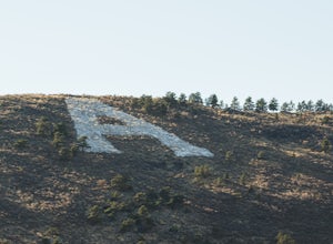
Why is there an A on the side of the mountain? The "A" stands for Aggies. When Colorado State University was first founded in 1870, it was originally called Colorado Agricultural College. The mascot at the time was The Aggies. Though the college has now become Colorado State and its mascot, The Rams; "The A" reflects the university's history and is repainted every August by the incoming freshma...
Hike the 3 Bar and Oh Tee Loops at Eagle's Nest Open Space
Laporte, Colorado
5 mi
/ 150 ft gain
To get to Eagle's Nest Open Space drive on Highway 287 between Laramie, Wyo. and Fort Collins, Colo. As you continue down 287, look for the Forks restaurant and rest stop in Livermore, Colo. Turn here onto Red Feather Lakes Road. After a few hundred feet on Red Feather Lakes Road, look for the Eagle's Nest Open Space sign on the left. Turn left there, and continue on the gravel road to the par...
Camp at Governor Dodge State Park
Dodgeville, Wisconsin
4.8
You can make campground reservations ahead of time or drive into the park to talk to a ranger, and reserve a hike-in campsite for the a night.Once you're all set up, you can hike to the beach of Cox Hollow Lake to hang out, go for a swim, or snap a few sunset photos.There are beaches on both Cox Hollow and Twin Valley Lakes. Canoes are available for rent in the summer. After breakfast you can ...
View Fall Color on Cameron Pass
Walden, Colorado
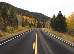
From the front range, drive west of Fort Collins, Colo. on Highway 14 towards Walden, Colo. When you enter Highway 14 from Fort Collins, look for Ted's Place. Ted's is a gas station and convenient store, stop here to hit the bathroom, fill up on gas, and grab some snacks. There will be very few facilities once you enter Cache la Poudre Canyon. The first 60 miles or so will be at lower elevation...
Backpack the Medicine Bow Peak Trail in the Snowy Range Mountains
Carbon County, Wyoming
7 mi
/ 1679 ft gain
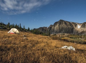
Take the Snowy Range Scenic Byway to Lake Marie trail head. Lake Marie trail head is the farthest west trailhead and parking area in the immediate Snowy Range Area. Parking in the lot there. I went on a Friday evening and there was one vehicle there. Double check you gear and tighten your hiking boots. From the trail head head north east to a paved asphalt trail. This trail connects to one of t...
Hike to Lake Solitude
Alta, Wyoming
5.0
16.5 mi
/ 2600 ft gain
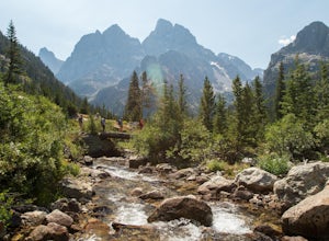
Start out at South Jenny Lake.You have the option to take a ferry boat to the other side of the lake to make the journey shorter. If you want to take the ferry, it's about $15 and saves you an extra 4 miles RT.So from South Jenny Lake you hike along the south-west shore of Jenny Lake to the intersection point of the then-current trail, Inspiration Point, the ferry drop-off, and a nice waterfall...
Hike to Adams Falls
Allenspark, Colorado
4.8
1 mi
/ 113 ft gain
Adams Falls is one of the most popular hikes in the Grand Lake area, and one of the easiest. If you are just hiking to the falls, you will not need to bring much with you besides a camera, due to the distance.
If you plan to venture past the falls, pack accordingly.
Once you park in the trailhead parking lot, begin your short trek on the wide dirt path over the small hill. From here you wil...
Community
© 2023 The Outbound Collective - Terms of Use - Privacy Policy

