Michael WigleExplorer
Exploring our incredible world through Film, Photography, and Story. Always looking for my next adventure and my next partnership through my work and art. Mahalo!
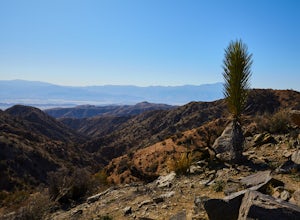
Hike the Covington Crest Trail
Riverside County, California
4.2 mi
/ 200 ft gain
Accessing Covington Flats in Joshua Tree National Park requires a high ground-clearance overland vehicle. In the summer months a standard car might make it to the parking lot after the 7.5 mile off-road drive, but should always be prepared for soft sand. Bring spare water and emergency tools incase of a breakdown.From Route 62 in Yucca Valley, CA take La Contenta Dr. South toward Joshua Tree. T...
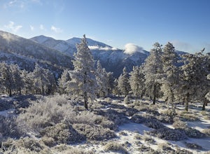
Snow Hike Lightning Ridge
Wrightwood, California
5.1 mi
/ 900 ft gain
When you hear the report about snow in the San Gabriels, it's time to plan this hike!Only a short 90 minute drive is all that separates nearly a third of California's population from high-altitude snowy adventures. This isn't about Yosemite, but Southern California's very own San Gabriel Mountains. About a dozen times a season snow falls on the peaks of this range to stay for a few days which i...
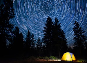
Camp at Dave's Hollow Campground
Garfield County, Utah
4.2 mi
/ 800 ft gain
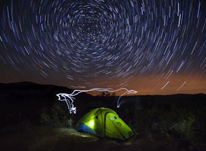
We all know the crowds well at our favorite National Parks, and Bryce Canyon is no exception. When you're looking to get a little further away from the noise, lights, and experience of a National Park campground, you often don't have to go very far off the main road. This adventure is for those who want to sit under incredible heavenly views of the galaxy, while enjoying the quiet forest settin...
Hike to Mt. Disappointment
Los Angeles County, California
3 mi
/ 1200 ft gain
From the 210 Freeway in La Cañada, take California Highway 2 north 14 miles up into the San Gabriel Mountains. Make sure you have your National Forest Pass (sold at REI or Ranger Station) or your Interagency Pass because they have started checking parked vehicles. At the Red Box Picnic area, make a right onto Mt. Wilson road. About 1,000 up the road and onto the right is a pull off and dirt par...
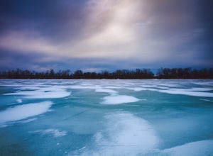
Ice Fishing on Presque Isle Bay
Erie, Pennsylvania
3.0
If you love ice fishing, you know that waiting until late January can be agonizing. Thankfully, Lake Erie is the most shallow of the Great Lakes, and Presque Island creates the perfect sized bay, for late December ice.From I-90, exit 18 is State Route 832. Head north as the road becomes Peninsula Dr. which runs all the way out into Presque Isle State Park. The road will split in the park and be...
Miners Castle to Au Sable Lighthouse
Munising, Michigan
3.0
27.32 mi
/ 2323 ft gain
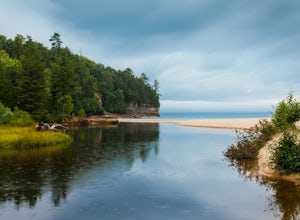
This trip works best with two cars where the first is dropped off at the Twelvemile Beach Parking Lot, and carpooled over to the Miner's Castle Parking Lot. Both lots can be easily found in the Pictured Rocks National Seashore Map, or on Google Maps.
Start your day at Miner's Castle by checking out both the Upper Overlook and Lower Overlooks. In the morning around Golden Hour, the cliffs acros...
Sail on Monterey Bay
Monterey, California
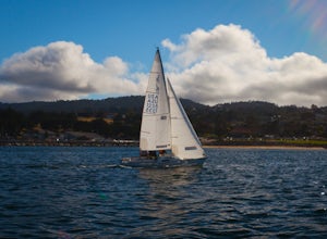
Few places along the California coast are perfectly suited for a day of sailing. While San Diego, Santa Barbara, Santa Monica, Long Beach, San Francisco, and Catalina Island offer sailing adventures, none of them offer wide open Pacific waters without dangerous commercial traffic to navigate. They also don't offer the deep blue waters of Monterey Bay, which are full of some impressive wildlife....
Escape to the Ruins of Beng Mealea
Svay Leu, Cambodia
1.2 mi
/ 65.6 ft gain
Halfway between the temple city of Angkor Thom and Koh Ker on the old imperial road lies Beng Melea. This is a perfect temple to visit after picking up passes from the park ticket office in Siem Reap. The best time to go is at the end of the day a few hours before closing when the crowds are fewest and the afternoon sun breaks through the jungle canopy in golden rays.Most hotels will connect yo...
Climb the Bakan of Angkor Wat
Krong Siem Reap, Cambodia
0.2 mi
/ 164 ft gain
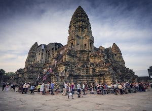
Angkor Wat was constructed in the 12th century during the golden years of the Khmer Empire. King Suryavarman II built the Hindu temple to the God Vishnu. The central tower and courtyard represent Mount Meru, home of the gods, which for centuries could only be seen by the elite priests. Centuries later the kingdom would convert to Buddhism, opening the temple up to thereveda monks and lay people...
Pipestone National Monument Loop
Pipestone, Minnesota
5.0
0.73 mi
/ 59 ft gain
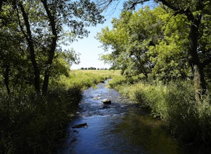
Near the border of South Dakota in Minnesota, 30 minutes north of I-90 on County Route 23 or State Route 75 is the historic town of Pipestone. From the center of town heading north on Hiawatha Avenue is the entrance into Pipestone National Monument. Entrance into the monument is free, but may be subject to change (nps.gov).
From the parking lot is the 3/4 mile long loop that gently walks throu...
Hike to Thác Hoài Dương Waterfall
Côn Đảo, Vietnam
3.1 mi
/ 492.1 ft gain
Take Võ Thị Sáu street north out of Côn Đảo for about 1 kilometer past the old park office on the left. The road will split to the right and fade to the left here. Continue on the left fork which is now Huỳnh Thúc Kháng street for about 50 meters. The road will split off to the right twice with a lower and upper road. The upper road is the main park entrance road and is freshly paved. Head up t...
Hike Carpenter and Angel Falls
Moravia, New York
4.0
3 mi
/ 450 ft gain
Head 12 miles south on Route 41A along Skaneateles Lake from Skaneateles NY. Make a left onto Appletree Point Road and go a little more than a half mile to where the intersection of Carver Road is. There is a small gravel parking area off to the left with room for about 8 cars. The trailhead begins here.The path heading left will take you to the Carpenter Falls bowl in less than 600 feet. Here...
Snorkel Kapalua Bay
Kapalua, Hawaii
There are only a few Hawai'ian snorkeling gems better than Kapalua Bay. Tucked into a narrow cover along the rocks of a long dormant volcano is a beautiful sandy bay that should be on any Maui snorkeling list. The neighborhood is quiet and relaxed that surrounds a picturesque beach. Getting here is both easy and rewarding almost any time of the day.
To get here, follow Lower Honopiilani Rd. tow...
Hike the West Fork of Cold Spring
Montecito, California
If you love the mountains above Santa Barbara but hate the crowds, stick to the canyon trails on the east side. The trails running up Cold Spring canyon offer a variety of experiences without all the noise.To find the West Fork of Cold Spring Trail, take the Olive Mill Rd. exit from the 101 freeway heading north. It becomes Hot Springs road at the top of Montecito. Take a left on East Mountain ...
Backpack Zaca Ridge
Los Olivos, California
5.0
8 mi
/ 2200 ft gain
From Santa Ynez, CA take Armour Rd until it hits Happy Canyon Rd, and make a left. Follow this scenic drive through vineyards and oak shaded pastures into the Angeles National Forest. A half-mile section of asphalt is rough from winter storms, so drive slow. The road becomes Sunset Valley Rd and narrows to 1 lane. Drive 3.8 miles to the first road on the left past the Davy Brown Campground. Thi...
Swim at Bãi Nhát Beach
Côn Đảo, Vietnam
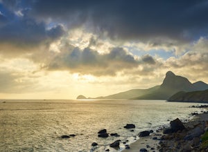
No visit to Côn Sơn Island is complete without watching a sunset behind the incredible cliffs of Little Côn Lôn Island. The best place to watch this go down is from a calm stretch of white sand called Bãi Nhát Beach.From town, head out along the coastal road south towards the end of the island and wrap around the point heading towards the fishing harbor about 8 kilometers. The road starts to co...
Explore the Hidden Lagoon at Đầm Trầu Beach
Côn Đảo, Vietnam
0.6 mi
/ 32.8 ft gain
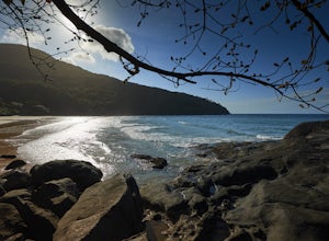
There are only a handful of beaches in Vietnam worth visiting as most are found on the edges of river deltas and steeped in mud. Out of the two tropical islands that offer sandy beaches, Côn Sơn Island is undeveloped and mostly a national park. If timed just right you can spend a few hours or an entire day in remote exclusion while being close to civilization on your own private beach.Protected...
Spend a Night at TreeHouse Point
Issaquah, Washington
4.8
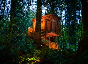
This is one of the most magical and romantic places on the planet to get a good night's rest. You'll find that words will escape you when it comes to describing how this place makes you feel. With the Raging River as a backdrop, the powerful white noise will put you into one of the deepest sleeps you've ever had.TreeHouse Point is only 2 miles from I-90 heading East from Seattle. Take Exit 22 h...
Off-Trail Hike of Limestone Ridge
Chaffee County, Colorado
4.0
9 mi
/ 1000 ft gain
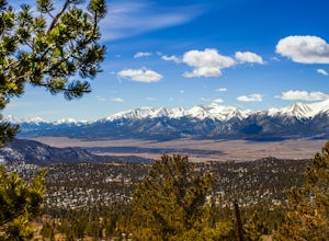
Finding a winter or early spring adventure that won't take you deep into dangerous mountain territory, while still providing epic vistas, is a challenge in Colorado. There are a few 10,000' tall ranges that sometimes escape deep snow, which are inviting for a first step into the alpine wonderland that is the Rocky Mountains. Limestone Ridge in the San Isabel National Forest near Buena Vista, Co...
Beach Camp on Santa Rosa Island
Santa Barbara County, California
5.0
19.72 mi
/ 3097 ft gain
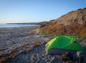
This adventure is not for the inexperienced. There is a campground on each of the Channel Islands and even camping at Water Canyon on Santa Rosa Island is moderately difficult, especially in the summer. The payoff is one unlike any other on the West Coast. It is an opportunity to backcountry pack through a unique island ecosystem to spend a night on a secluded Pacific Ocean beach.
Getting Ther...
Eureka Peak
Yucca Valley, California
5.0
0.47 mi
/ 82 ft gain
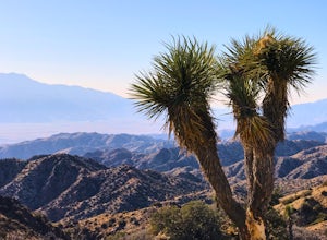
Accessing Covington Flats in Joshua Tree National Park requires a high ground-clearance overland vehicle. Bring spare water and emergency tools incase of a breakdown.
From Route 62 in Yucca Valley, CA take La Contenta Dr. South toward Joshua Tree. This is a backcountry entrance that does not have a gate, but still requires a park pass. 1 miles south the paved road becomes sand and dirt and 1.9...
Off-Road to La Lobera Sea Cave
El Aguajito, Mexico
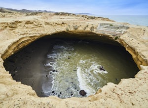
The road from the highway to the coast is packed sand and gravel. Fortunately the marine fog keeps the sand in good condition for traveling over. A 4x4 is not needed to make this drive, but a high ground-clearance is a must. The beach road erodes heavily during the winter months, so proper planning is encouraged.
From Highway 1 in Baja California at kilometer marker 46 south of San Quintin, is ...
Explore the Lookout from Chained Rock
Pineville, Kentucky
5.0
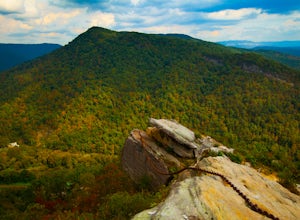
Located just north of the Cumberland Gap, Chained Rock is a local landform made unique by a long slung chain that comes with a tall tale of it's creation. According to legend the rock pinnacle overlooking the Cumberland River valley struck fear into the minds of young children, which was eased with the claim that it was safely held back by a chain. Word spread, and people came far and wide to s...
Camp at Picacho Peak State Park
Campground Loop B, Arizona
3.1 mi
/ 800 ft gain
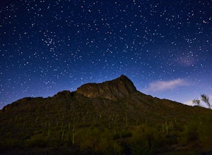
Drive about 30 minutes west on I-10 from Tucson, AZ to the Picacho Peak Rd. Exit and follow the signs south to the park entrance. The campgrounds are about a half mile inside the main gate to the right.You can either make a reservation at Pichacho Peak State Park or arrive the day of and pay. Even when the office is closed, there is an honor-system pay box that is followed up by the camp manage...
Community
© 2023 The Outbound Collective - Terms of Use - Privacy Policy

