Brian FuldaExplorer
Hi! I'm Brian, a photographer based in San Francisco that has an avid love for the outdoors, travel, hiking, redwoods, astronomy, guitar, cameras, and writing.
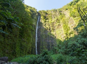
Hike the Pipiwai Trail to Waimoku
Kula, Hawaii
4.7
4 mi
Located in Haleakala National Park on Maui's southeastern coast, this trail is well maintained by the National Park Service and is quite popular with visitors. Like most popular hikes, it is advised you get there early and try to go on a weekday and in the offseason if possible. Entrance to the park is $15 which will get you a three-day pass, so if you plan on visiting Haleakala's summit, this ...
Hike through Iao Valley to Kūkaemoku (The Needle)
Wailuku, Hawaii
4.0
0.4 mi
/ 300 ft gain
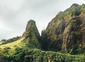
This is a very simple hike for people of all ages, and a great way to see the beautiful Maui rainforest. It is one of the more popular hikes on the island of Maui due to its short length and high accessibility. Kūkaemoku (known as The Needle), which is the pointy rock formation as shown in the photos, is best observed from this short hike. Start at the parking lot and follow the trail over a fe...
Explore the Nakalele Blowhole
Wailuku, Hawaii
3.8
0.3 mi
/ -300 ft gain
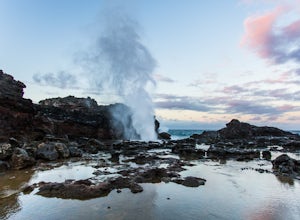
Getting to the Nakalele Blowhole is not too difficult. Use the Google Maps location on here to drive to the spot listed. There will be a dirt parking lot.Warning: If you are coming from Kahului, do not take the Kahekili Highway (Hwy 340) unless you are prepared for hairpin turns, one lane roads, and a dangerous drive. It is much easier and safer to take Honoapiilani Highway (Hwy 30) through Lah...
Explore Skylight Cave
Deschutes County, Oregon
4.4
0.2 mi
/ -25 ft gain
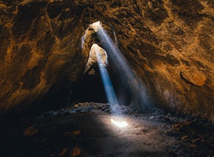
The hardest part about getting to Skylight Cave is the drive. Start by coming from Sisters, Oregon, and use the driving directions below to find it. The Google Maps pin is accurate, and if you like coordinates, you can use 44°20'55.3"N 121°42'55.9"W as well.
It's recommended you download an offline map of the area in advance, as it has no service most of the way. It takes roughly 6-7 miles of d...
Walk Behind A Hidden Waterfall at Kvernufoss
Kvernufoss Parking, Iceland
5.0
0.4 mi
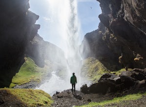
Begin by driving to the Skogar Museum, just off the Ring Road (1). You will take the same turn to get here as you would to get to Skogafoss, so it makes sense to plan to see both at the same time. Just past the Skogar Museum on your left, you'll see a warehouse/hangar building with two large garages. You can park your car here.From this point, continue east on foot down the road you came, past ...
Hike to Tall Trees Grove, Redwood NP
Humboldt County, California
5.0
3.9 mi
/ 690 ft gain
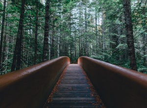
NOTE: You need a permit, albeit free, to do this hike.First, you'll need to go to the Thomas H. Kuchel Visitor Center just off Highway 101 south of Orick, CA. Once there, write down your license plate number and go up to the counter and ask one of the rangers for a permit for Tall Trees Access Road. You'll need to provide the make, model, and plate number of your car. The permit is free, and th...
Hike the Sugar Bowl Loop in Kings Canyon NP
Tulare County, California
4.5
6.5 mi
/ 1480 ft gain
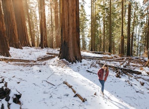
First and foremost, to get to this trailhead you need to drive down a 2-mile, one lane dirt road that is quite steep. It is highly recommended you do this in an AWD or 4WD vehicle, especially since the road can be muddy from snowmelt or after a recent rain. We have a 2WD car but used chains for extra traction and that worked well. The dirt road is not plowed in winter. There is adequate parking...
Hike to Röthbachfall in the Alps of Berchtesgaden NP
Schönau am Königssee, Germany
4.8
2.5 mi
/ 200 ft gain
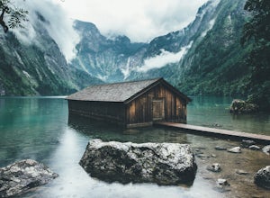
You will begin this hike by driving to the Tourist Information at the Königssee (https://goo.gl/maps/c3TF5kaSrov). Walk down past all of the tourist shops to the Königssee (lake). There will be a ticket booth for buying boat tickets. You need to take the electric boat across the Königssee in order to reach Röthbachfall, as there are no hiking trails along the lake.The boat tickets (as of Februa...
Hike & Bike to a Hidden Giant Tortoise Reserve in Parque Nacional Galápagos
Unnamed Road, Ecuador
1.5 mi
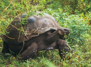
The Galapagos Tortoise can live to over 150 years old, grow up to 5 feet long, and can weigh up to 550 pounds. Seeing them in person in their natural habitat is an experience you won't ever forget. On the island of Santa Cruz in the Galápagos, there are quite a few places you can see giant tortoises. The two main privately owned reserves, El Chato and Rancho Primicias, offer tortoise sightings ...
Hawaii's South Point
Naalehu, Hawaii
5.0
0.04 mi
/ 0 ft gain
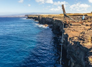
NOTE: Cliff jump at your own risk and only do so when conditions are great (calm seas, clear skies, good water visibility). Do NOT jump if you don't think it's safe for any reason or if you think you can't climb back up.
Getting to South Point on Hawaii's Big Island is relatively straightforward. Use your map app to drive down the paved roads to the point. On your way, you'll encounter Hawaii'...
Explore the Medieval Town of Rothenburg ob der Tauber
Rothenburg ob der Tauber, Germany
4.0
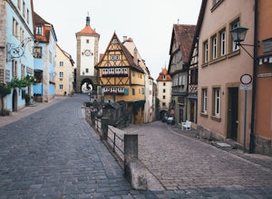
The town is fairly easy to navigate, but can be quite difficult without a map. It is recommended you start in the town center and work your way out. There are dozens of tourist attractions, but many are overpriced. One of the better things to do is to find one of the many stairwells leading up to the top of the fortress wall and walk along that for a unique view of the city. There is also Jakob...
Community
© 2023 The Outbound Collective - Terms of Use - Privacy Policy

