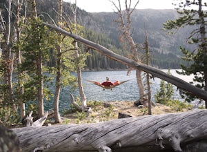
Camp at South Meadow Creek Lake
McAllister, Montana
4.0
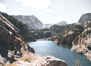
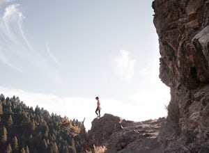
To access the lake, take South Meadow Creek Road that exits US 287 at McAllister, MT. This dirt road will head west into the Tobacco Roots before turning into FS Road 1221 approximately 3 miles before the lake. If you are in a vehicle not equipped for off-roading, park your vehicle where FS Road 1224 branches off to the right and continue on foot. For the next 2-3 miles the road continues as a ...
Hike to Golden Trout Lakes
Gallatin Gateway, Montana
4.0
5 mi
/ 1300 ft gain
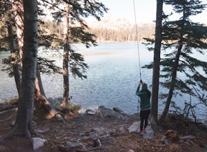
The Golden Trout lakes offer a scenic getaway just out of the Gallatin Valley Canyon. To access the trail head, turn east onto Portal Creek Road #984 and continue southeast for 6.8 miles. The road is in rough condition and is better suited for vehicles with a higher clearance. The trail head is equipped with adequate parking.The trail starts off easy and winds past a few small ponds before reac...
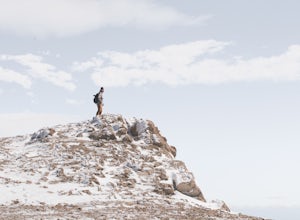
Summit Hardscrabble Peak
Wilsall, Montana
5.0
4 mi
/ 1900 ft gain
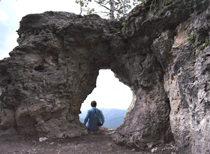
Located in the Bridger Mountain Range, Hardscrabble Peak offers a scenic hike just outside of Bozeman, MT. The Peak sits just north of the more popular Sacagawea Peak and from atop grants views over the Gallatin Valley as well as surrounding mountain ranges such as the Big Belts, Crazies, Tabacco Roots, Spanish Peaks, Gallatin and Madison Ranges. Due to its close proximity to Bozeman, the trail...
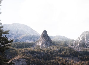
Backpack the Beartooths via the West Rosebud Trail
Fishtail, Montana
22.69 mi
/ 6795 ft gain
The West Rosebud Trail functions as one of the major routes to Granite Peak, the highest point in Montana. The trailhead (6,558') is located approximately 80 miles south of Billings in the Beartooth Absaroka Wilderness. The road to the trail passes Emerald and West Rosebud Lakes just before arriving at the spacious parking area with available restrooms.
The trailhead is accessible by walking t...
Camp at Shadow Mountain
Moose, Wyoming
4.6
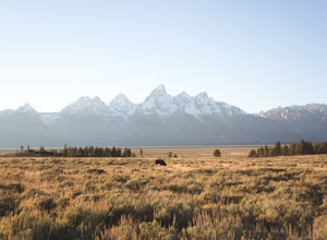
Whether you're looking for a place to pull in and crash or an area to take in the entire Teton range, you shouldn't pass up the opportunity to experience Shadow Mountain. Although Shadow Mountain is in Bridger-Teton National Forest, the foot of the mountain borders Grand Teton National Park. Forest Rd 30340 is a dirt road that heads east from Shadow Mountain Rd and winds up the side of the moun...
Summit Storm Castle Peak
Gallatin Gateway, Montana
4.8
5 mi
/ 1900 ft gain
Storm Castle (or Castle Mountain) is a rocky peak that rises to an elevation of 7,280 ft on the east side of the Gallatin Canyon overlooking Beckman Flats. The hike is a gorgeous 5 mile out and back trail located just 30 minutes south of Bozeman, Montana in the Gallatin Canyon. This trail offers the perfect after work or between class hike that only requires a few hours and the payoffs (views) ...
Backpack to Rainbow Lake via the East Rosebud Trail
Roscoe, Montana
3.0
16 mi
/ 1600 ft gain
Also known as "The Beaten Path", the East Rosebud Trail is a highly traveled and well maintained trail with amazing views and a handful of lakes along the route. The trail is ultimately 26 miles long and places you near Cooke City. Rainbow Lake is located 7 miles from the trailhead and is a perfect weekend hike with amazing scenery through the Absoraka-Beartooth Wilderness.The trailhead (6,100'...
Relax at Fairy Lake
Bozeman, Montana
5.0
Have a day to kick back and relax? With just a short drive of under an hour (from Bozeman), you could be enjoying the outdoors at a scenic alpine lake. Fairy Lake is a gorgeous glacial lake located at the north eastern base of Sacagawea Peak in the Bridger Mountain Range.To access the lake trail, head north on Bridger Canyon Road. After mile marker 21 keep an eye out for a dirt road on the left...
Hike Sypes Canyon
Bozeman, Montana
3.0
4 mi
Sypes Canyon Trail is a gorgeous hike to a scenic lookout over Bozeman, MT. The trail only lies 20 minutes north of Bozeman and offers the perfect after work exercise. The trail is heavily populated with people and trail conditions fluctuate throughout the year. The trail follows a small creek through the canyon, however, later in the year the creek will most likely be dried up.To access the tr...
Canoe to Loon Lake from Entry #14
Tower, Minnesota
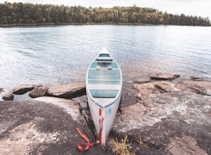
The Boundary Waters Canoe Area Wilderness is located in the northern portion of the Superior National Forest in northeastern Minnesota. What once used to be covered by glaciers is now home to approximately 1.1 million acres of land with 1,200 miles of canoe routes. Permits are required for access to the area at a rate of $16/person and $8/youth.Entry #14 at the Little Indian Sioux River (north)...
Hike Uncle Tom's Trail
Yellowstone National Park, Wyoming
4.3
0.2 mi
/ 500 ft gain
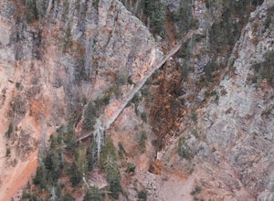
If your in the Yellowstone National Park, this is a must do. The trail/stair case is visible from the opposite of the canyon, weaving its way down the canyon wall to a nice outlook at the base. Once we saw the staircase we knew we had to do it. When you're in the Yellowstone Canyon area, travel down the Artists Point Road and park at the parking lot at Artists point.Uncle Tom's Trail is more of...
Community
© 2023 The Outbound Collective - Terms of Use - Privacy Policy

