Michael FrickeExplorer
Sober/Vegetarian. I love the outdoors, not just taking pictures and having a good time but learning about our natural world and teaching others to appreciate it and care for it. -Punk Rock Park Ranger.
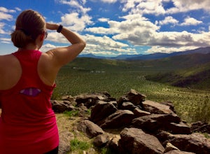
Hike the Panorama Overlook in Anza Borrego Desert State Park
Borrego Springs, California
1.6 mi
/ 636 ft gain
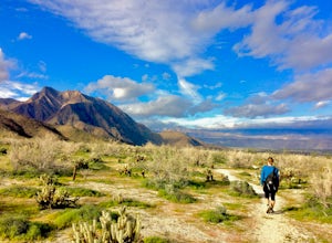
This is an out and back 1.6 mile round trip with 636 feet of elevation gain. The top has excellent views of Anza Borrego. It is close to the visitor center.
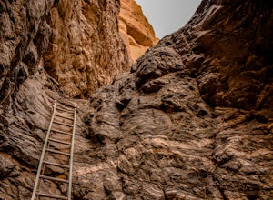
Hike Ladder Canyon in Mecca Hills
Mecca, California
5.0
4.5 mi
/ 990 ft gain
From Box Canyon Road turn on to Painted Canyon Road a dirt road that will lead you to the trailhead. From the trailhead start into the canyon. After a few hundred feet there will be rocks forming an arrow pointing you towards a ladder. Go up the ladder and follow the trail from here. There will be a few ladders on the way up. You will climb up to top of the canyon and get some great views. Foll...
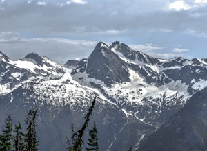
Sourdough Mountain Trail
Rockport, Washington
5.0
9.34 mi
/ 5046 ft gain
Going east from Newhalem on highway 20, turn off towards the small town of Diablo. There are signs from there on where to park.
This hike is very difficult. It is very steep and gains elevation very quickly and right from the start. Once you get above tree line though you are greeted with great views of the North Cascades.
This hike is only accessible in July, August, and September usually. B...
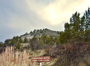
Hike the Schonchin Butte Trail in Lava Beds National Monument
Tulelake, California
5.0
1.5 mi
/ 475 ft gain
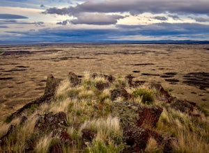
From the entrance booth of Lava Beds National Monument drive south. There will be a left hand turn labeled Schonchin Butte, take it. Drive down a dirt road about a mile to reach Schonchin Butte trailhead parking. It is less than a mile hike to the fire lookout with elevation gain of 475 feet. The trail is well maintained and has great views of the lava beds at every step. This is a great place ...
Explore Crystal Ice Cave, Lava Beds National Monument
Tulelake, California
1 mi
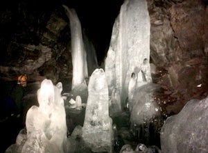
This adventure is only accessed through a ranger guided tour by the staff at Lava Beds National Monument. A reservation is needed, go to recreation.gov to make a reservation space is limited. You will meet at the visitor center. The ranger will take you to the cave. Don't try to find the cave on your own time, it is locked and you can't get in.
Once in this unique lava tube cave you will ex...
Hike Gillem's Bluff Trail in Lava Beds National Monument
Tulelake, California
4.5
1.5 mi
/ 393 ft gain
Start from the parking lot just past the entrance booth at the Lava Beds National Monument. It is a straight forward hike up to the top of the bluff about .75 miles. Great views of the lava flows and surrounding mountains. It is a great place to view the sunset behind Mt. Shasta from the top.
Hike to Crystal Creek Falls in Whiskeytown National Recreation Area
French Gulch, California
0.6 mi
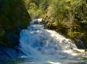
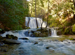
From Redding pass the visitor center on highway 299 and pass the lake. Make a left turn on to Crystal Creek Road. Follow this road for about 2 miles. There will be signs to make a left turn to Crystal Creek Falls. This is less of a hike and more of a walk. The trail is paved. It is less than a half mile to the falls from the trailhead. It is a great place to take children and people that don't ...
Camp at the Salton Sea
Mecca, California
4.0
The Salton Sea State Recreation Area is a good place to camp. It has bathrooms with running water and showers. There are 3 options for camping RV camping with hookups is $30 per night. Tent camping at New Camp (on the map to the right) or Mecca Beach is $20 per night. One can also camp at a more primitive Corvina Beach for $10 per night. It is an excellent place for sunsets. Check out their web...
Hike to Whiskeytown Falls in Whiskeytown National Recreation Area
French Gulch, California
2.8 mi
/ 787 ft gain
Coming from Redding pass the visitor center and heading down highway 299. Make a left turn on Crystal Creek Road. Drive about 3.75 miles and on your left will be the Mills Creek Trailhead. Start hiking. You will start headed downhill towards the creek. You will cross Crystal Creek on a footbridge. A little bit after crossing the creek you will see where you need to turn right to the James K. Ca...
Hike to Brandy Creek Falls in Whiskeytown National Recreation Area
Igo, California
5.0
3 mi
/ 500 ft gain
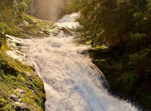
My favorite hike in Whiskeytown National Recreation Area. From the visitor center you will take Kennedy Memorial Drive towards the dam, make a left at Brandy Creek Road. At a junction for Sheep camp/Shasta Bally make a left. You will arrive at the trailhead. This hike follows a beautiful stream through forested area. There are multiple waterfalls along the way. The path is well maintained. Ther...
Kayak Ross Lake to Cougar Island and Rainbow Point
Rockport, Washington
5.0
Start from the Ross Lake Trailhead off Highway 20. Hike down with your vessel 1.5 miles to the hull road. From there you can launch your vessel.
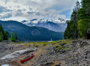
Ross Lake is very large with many destinations to paddle to. I went to Cougar Island and Rainbow Point then paddled up to multiple spectacular waterfalls on the west side of the lake on the way back. The possibilities are endless because the lake...
Hike to Maidenhair Falls via Hellhole Canyon in Anza Borrego Desert State Park
Borrego Springs, California
5.1 mi
/ 974 ft gain
This 5.1 mile hike begins near the visitor center of Anza Borrego Desert State Park and gains 974 feet of elevation while climbing up a canyon to a small waterfall. It is an interesting hike as you can see the plant life change as you get closer to the waterfall. There are parts where the trail get hard to follow. Just keep hiking up towards the sound of the waterfall.
Community
© 2023 The Outbound Collective - Terms of Use - Privacy Policy

