Ski or Snowboard the Burnt Mountain Glades of Snowmass
Aspen, Colorado
5.0
3.5 mi
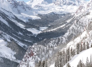
This is part of the Aspen Snowmass Ski area so you'll have to buy a ski pass to take the lift up, or if you're up for a bigger workout, put some skins on and trek up to the top of Elk Camp. The easiest way to get there is to take the Elk Camp gondola to the Elk Camp lift. Once at the top of the lift, make your way to skiers right (east) and follow the signs to Burnt Glades. You can see the trai...
Hike the Caddo Bend Trail
Mountain Pine, Arkansas
5.0
4 mi
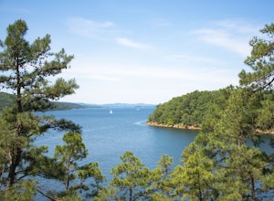
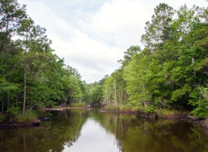
Located within the Lake Ouachita State Park, the Caddo Bend Trail is an wonderful 2-3 hour hike. Although promenently covered by shade the entire 4 miles, the Ouachita Lake area can be very hot in the summer and the trail should be done in the morning or late afternoon. Either way, I nice dip in the refreshing lake after your hike with cool you right off!The State Park is located off Mountain P...
Hike the Minister Creek Trail
Sheffield, Pennsylvania
3.0
6.5 mi
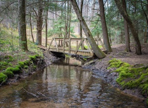
The trailhead is located next to the Minister Creek Campground, which is 14.7 miles southwest from the town of Sheffield, via state route 666. If coming from the west on highway 62, the trailhead is located 20 miles from West Hickory along state route 666. There is a parking lot across the road from the campground, but the trailhead is on the same side of the road as the campground, less than a...
Hike up Villingardalsfjall
Viðareiði, Faroe Islands
3.7 mi
/ 2759.2 ft gain
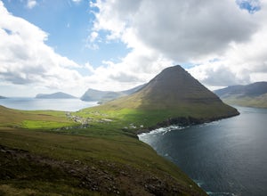
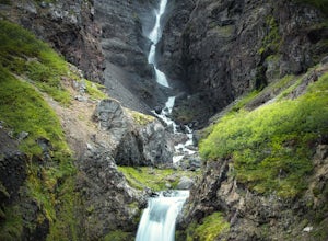
Located at the most northern part of the Faroe Islands, the mountain Villingardalsfjall is a gorgeous coastal cliff that will offer views of all the surrounding north islands. The trail begins at the top of road Vid Gard, in the northern part of the town Vidareidi. The trail starts along side a 4ft tall rock wall. There is a small parking area, which most likely will not be filled because of th...
Backpack to Clague Cabin
Kitimat, British Columbia
5 mi
/ 2300 ft gain
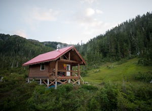
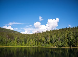
From the Kitimat Service Centre head north along Enterprise Avenue until you reach the Wedeene Mainline Forestry Road. Continue north along the mainline for approximately 1 km. Turn left and follow the rough road for approximately 2 km. to the trailhead. Trail is gated approx 0.5 km from trailhead in summer months to restrict motorized access.This is a challenging hike because it pretty much go...
Summit La Plata Peak
Buena Vista, Colorado
5.0
9.25 mi
/ 4500 ft gain
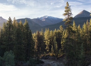
The Northwest Ridge is the most easily accessible and popular route, and for good reasons. The trailhead is on the side of Hwy 82, otherwise known as Independence Pass, about 14.5 miles from the Hwy 24 junction, or about 10 miles from Twin Lakes to the east. The trailhead is hard to miss, and you can park right there at the parking area on the side of the highway. Do not drive further down the ...
Backpack to the Maroon Mountain Meadows
Terrace, British Columbia
3.0
10 mi
/ 5000 ft gain
Maroon Mountain is among the Kitimat Mountain Range, and can be accessed from the unincorporated town of Rosswood. Follow the Nisga'a Highway north of the city Terrace for 34.5 km. Turn right onto the Wesach Creek forestry road (1.3 km north of the Maroon Creek highway bridge), and follow the signs for the next 2.5 km to the parking area at Hall Creek. The Hall Creek bridge has been removed so ...
Hike Lost Man Loop
Aspen, Colorado
5.0
8.8 mi
/ 1290 ft gain
This 8.8 mile "loop" is not a true loop and the trail ends 4 miles apart along Independence Pass, so a car shuttle is recommended. I would recommend starting at the west trailhead (closer to Aspen) but will describe both trailheads so you can set up another car or shuttle at the other one.1) West Trailhead: Drive 14 miles east of Aspen on Highway 82 to the parking lot directly across from Lost ...
Cerro Llao Llao via Sendero Villa Tacul
Bariloche, Argentina
8.14 mi
/ 791 ft gain
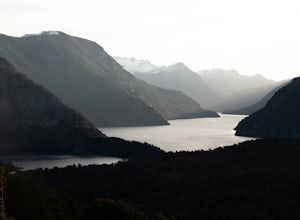
One of the best spots in Bariloche to watch the sunset, this hour-long hike uphill will be highly rewarding. It's a not the least bit commercialized like some of the other hilltop views in Bariloche like Cerro Campanario, but the trail is very well maintained and easy to follow. The panoramic view from the top is very peaceful and you might find yourself sitting up there for hours since there i...
Hike to Valagil Waterfall
Djúpvegur, Iceland
3 mi
The trailhead for this hike is 9 km south of the town Súðavík at the inside tip of the fjord Álftafjörður. There‘s a small dirt parking lot off the road just before the small bridge. You can park your car here and begin your hike into the valley Seljalandsdalur. At the south end of the parking lot, there is a trailhead sign that says 2 km to Valagil. Even from the trailhead you can see one of t...
Hike the Watson Lakes Trail
Cedarvale, British Columbia
4.5
4 mi
/ 600 ft gain
The trailhead is located a few hundred yards from highway 16 on a relatively smooth gravel road. The turnoff is marked by a blue sign saying Watson Lakes Trail. From Terrace the turnoff is 33 miles east, and from Kitwanga Junction the turnoff is 23 miles west. The first half of the hike is a steady uphill hike along switchbacks until you reach the first lake. There are plenty of great views of ...
Hike the South Tibwin Trail
McClellanville, South Carolina
2.4 mi
The trailhead is located at the South Tibwin parking lot on the east side of Highway 17, about 12.5 miles north of McClellanville. You will see a large metal gate and hikers bulletin board. This is a lollipop loop trail that is on an old forest road. The trailhead is at the south end of the parking lot and heads into the forest. After a quarter mile, you'll come across a house and the trail wil...
Photograph Webster's Falls
Hamilton, Ontario
5.0
0.25 mi
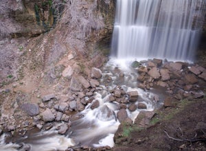
The waterfall is located in the Spencer Gorge Conservation Area, which is delightful enough by itself to explore and have a picnic or lounge around. The easiest way to access this area is to park at the lot at the end of Fallsview Rd, located on top of the Dundas escarpment area. There is a $10 fee to park, or you can park on a nearby road and walk a little further, which may be better on a bus...
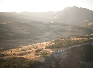
Hike Bunsen Peak
Yellowstone National Park, Wyoming
5.0
4.24 mi
/ 1286 ft gain
From Mammoth Hot Springs drive south of US-89 approximately 4.8 miles towards Norris Junction. The trailhead is on the left as you exit Golden Gate Canyon. After about 100 yards on the trail, take the left fork and from there on the trail is well marked out to the top. Sunset and Sunrise are great times to climb this peak and you should give yourself 40-60 minutes to reach the top.
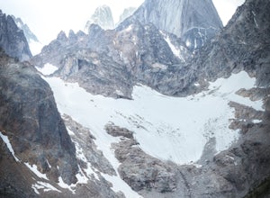
Hike to Cobalt Lake
East Kootenay G, British Columbia
5.0
10 mi
/ 2400 ft gain
You most likely won't find another person hiking this trail the same day as you, and for good reason; the trailhead is at the end of a 55 km gravel road that begins at British Columbia Highway 95, near the remote town of Spillimacheen. There is helicopter transportation if you are staying at the Canadian Mountain Holidays Lodge, located just a few hundred yards from the Cobalt Lake Trailhead. T...
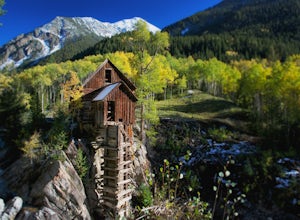
Hike by Lizard Lake to Crystal Mill
Carbondale, Colorado
5.0
10 mi
Although the iconic Crystal Mill is the main attraction on this hike, the river that leads you there through the magnificent mountains of the White River National Forest is nothing short of extraordinary.Getting ThereThe hike is located in the small town of Marble, about 40 minutes east of Carbondale on Highway 133. Drive through the town and past beautiful Beaver Lake and find a place to park ...
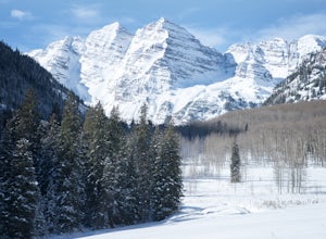
Ski or Snowshoe to the Maroon Bells
Aspen, Colorado
5.0
12 mi
/ 1000 ft gain
From Aspen drive down Maroon Creek Road until it comes to its winter closure located by T Lazy 7 Ranch. The Ranch offers snowmobile tours and keeps the six mile snow covered road to the Bells groomed. Most popular with cross country skiers, the snow road can also be hiked, fat biked, and skinned. Dogs are allowed, and there is no fee.Quite simply follow the well groomed snow road from where the...
Explore Gruchy's Beach
Kitimat-Stikine C (Part 1), British Columbia
1.3 mi
Form Terrace, drive south for approx., 14 km along Highway 37 to Gruchy’s Beach day use area.The beach is accessed by an easy 1 km trail that follows along Williams Creek through and old growth forest. The trail has a number of boardwalks and nice views of the creek, which can provide sights of Salmon swimming at the right time of the year. The trail leads to a sandy swimming beach with good wi...
Mirador de los Condores
Estancia Pudeto, Chile
4 mi
/ 1000 ft gain
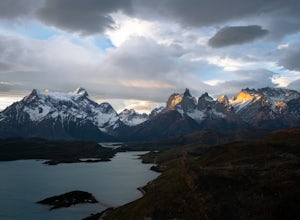
There are plenty of fascinating views throughout Torres del Paine National Park, so you can understand why it's such a popular destination. But with so many people doing the most popular hikes like Los Torres, it can feel a bit overcrowded. But somehow this very accessible hike is still relatively quiet of tourists, and you can find 360 panoramic views of the Park all to yourself.
There are t...
Upper Two Medicine Lake
Glacier County, Montana
9.67 mi
/ 719 ft gain
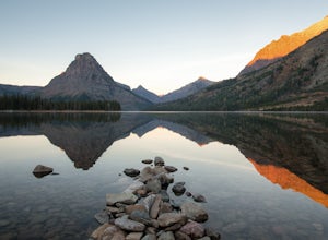
I did this trip during the end of autumn, and was pretty much the only person on the entire lake. With it being so serene and so quiet, I had the perfect nature getaway. I made sure to watch an epic sunrise on Two Medicine Lake, then spend the day taking my time to the upper lake and back, with a few small side trips along the way.
Once you have reached Two Medicine Lake by car, find the Upper...
Photograph Niagara Falls
Niagara Falls, Ontario
3.8
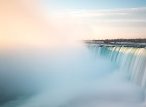
Located on the Niagara River, which is the border of Canada and the USA, it dumps water from Lake Erie into Lake Ontario. There are technically three waterfalls in close proximity that have come to form what is now just known as Niagara Falls. From largest to smallest there is Horseshoe Falls, American Falls, and Bridal Veil Falls. The combined falls produce a flow rate that is the highest of a...
Summit Kit Carson Peak
Westcliffe, Colorado
12.4 mi
/ 6323 ft gain
There are a couple different trailheads that lead to Kit Carson Peak, but the one from Willow Creek Trailhead will give you the opportunity to peak another fourteener, Challenger Point, and let you pass through and/or camp at Willow Lake, which is a beautiful destination by itself.
If approaching from the north, go 13.8 miles south on Colorado 17 from the Colorado 17-US 285 junction. If approac...
Hike to Paw Paw Tunnel
Oldtown, Maryland
3.8
2.4 mi
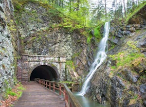
This hike is short and sweet, with it only being 2.4 miles to the other side of the tunnel and back. It's easily accessible, located right off the highway at the Paw Paw Tunnel Campground on the Potamac River at the border of Maryland and West Virgina. The town of Paw Paw is on the West Virgina side of the Potomac River, but the trail is located on the Maryland side of the river.From the campgr...
Camp at Twin Lakes' White Star Campground
Twin Lakes, Colorado
4.5
This area is located on the other side of Independence Pass from Aspen, which is only accessible during the summer, or can be reached year-round via Leadville, which is about 20 miles away along Highway 24. From Twin Lakes Village drive approximately 1.5 miles east on Highway 82 and take the exit for White Star Campground. There are a few other campsites in the area such as Dexter campground, a...
Community
© 2023 The Outbound Collective - Terms of Use - Privacy Policy

