Billy DiMirraExplorer
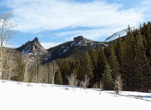
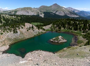
Summit The Crags
Divide, Colorado
4.6
7.9 mi
/ 1379 ft gain
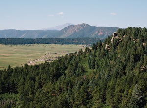
As you drive past Mueller state park (on the right), about 1/4 mile down the road you will see a small wooden sign for "The Crags" You will take a left there and follow the road about 1.5 miles, past the first stop, which is the Raspberry Mountain Trailhead, until you come to a fork in the road at the Mennonite camp. Once you're there, take a right at the fork and follow the road for about 1/2 ...
Explore Boulder Falls, CO
Nederland, Colorado
4.2
0.1 mi
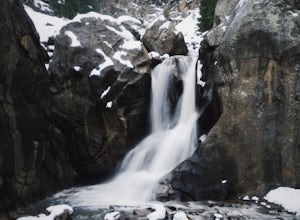
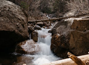
While the narrow trail is often popular, it's only 100 yards to see this 70-ft tall waterfall, set against a beautiful canyon backdrop. Keep in mind there's no climbing allowed on or around the falls. It is also a good idea to check if the trail is closed for maintenance, ahead of time.
Take a Dip in Paradise Cove
Guffey, Colorado
4.5
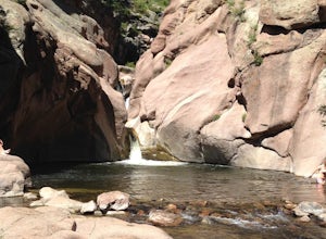
From Colorado Springs, follow RT 24 to the town of Florissant (34.5 miles). From Florissant, follow Teller County Road 1 south for about 9.2 miles, until a Y fork, and bear right, into County Road 11. Follow County Road 11 for 4.1 miles, until a T intersection, and make a right turn at the intersection, into County Road 112. Follow County Road 112 for 2.7 miles, and where the road crests on top...
Red Rocks at Woodland Park
Woodland Park, Colorado
4.3
1 mi
/ 100 ft gain
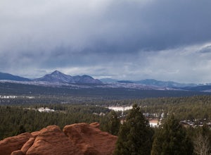
In Woodland Park driving on HWY 24 towards Divide, you will see signs for HWY 67 which is where you'll need to get to. The Road will fork towards the end of town (left being 24 towards Divide, Right being 67). Stay right at the fork onto 67. You will then drive about 2 miles until you see a sign that says Red Rocks Campground, and Pikes National Forest. You will take a right into the park, driv...
Spruce Mountain Loop
Larkspur, Colorado
4.5
5.46 mi
/ 810 ft gain
Spruce mountain is an approximately 4.2 mile loop outside of Colorado Springs near Palmer lake. The hike is a pretty easy one, that has some great views of the Front Range including peak a boo views of Pikes Peak. Starting at the Trailhead, you can either take the right or left trail which will take you to the top of the bluff overlooking the valley. Once at the top there are plenty of spots to...
Drive Gold Camp Road
Cripple Creek, Colorado
4.3
5 mi
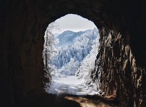
Gold Camp Road is a road that begins near Bear Creek Regional park. As you drive up the winding road, the road will turn to dirt. Continue driving down the dirt road, turn the corner and BAM, you're hit with some mountain views that will take your breath away. As you continue to drive Gold camp road you will drive through some really cool rock tunnels that cut through the mountains. There are v...
Zapata Falls
Alamosa County, Colorado
4.7
0.5 mi
/ 150 ft gain
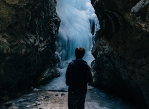
Driving towards the Sand Dunes, you will see a sign marker that indicates the road up to Zapata Falls. Turn right onto the road a follow it for about 2 miles until you hit the parking lot at the top. The road is in pretty rough condition so if your car doesn't have high clearance make sure you take it slow. Once you reach the parking lot, you will see an 10ft sign indicating the trail head. You...
Camp at Silver Queen Campground
Aspen, Colorado
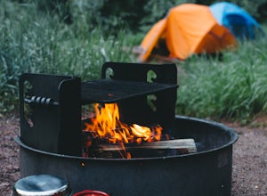
To start it off, head out from Aspen on Maroon Creek Road. Once you get to the park, you will either have to pay the charge at the booth or if you get there after 5pm, you can self pay at the cash box, which is $10. You'll also want to get an overnight parking pass set up which doesn't cost extra and can be grabbed from boxes in the parking lots. As you drive down the road towards Maroon Peak, ...
Hike to Lost Lake
Gunnison County, Colorado
4.0
2.4 mi
/ 600 ft gain
This Trail starts at about 11,200 feet right before the top of cottonwood pass. The trailhead starts at the LAST pull-off before you reach the top of the pass, so if you reach the top, you've gone too far. The hike isn't a super difficult one, but you will go through numerous streams and flooded meadows (depending on the time of year). The view from the top looks straight down the valley and fr...
Hike Pulpit Rock
Colorado Springs, Colorado
4.1
2.2 mi
/ 505 ft gain
Heading South on N. Nevada Blvd. you will pass a Harley Davidson dealership on your left, about a mile after that there is a large parking lot for Pulpit Rock Park. Once you park, there is a clearly marked trailhead that will get you on your way! There are various trails you can take to get the top of Pulpit Rock, some of which will take you in a loop if you choose, or you can go out and back. ...
Hike the Seven Bridges Trail
Colorado Springs, Colorado
4.0
4.75 mi
/ 1600 ft gain
Follow North Cheyenne Creek through the canyon as it forms several cascades along the way. Due to water levels, spring is an especially good time for this hike.
Most turn around just past the seventh bridge, where the trail starts to disappear.
Hike to Raspberry Mountain
Divide, Colorado
5.0
5.2 mi
/ 900 ft gain
Take US-24 west and turn left at traffic light in Divide. Drive south on US-67 for about 4 miles. Turn left to CR-62 right after you pass the entrance to Mueller State park on the right. Drive about a mile on the dirt road and you will see the new trailhead parking lot on the left side.Once you park, you will see a clearly marked trail that winds through a meadow leading up to the woods, where ...
Community
© 2023 The Outbound Collective - Terms of Use - Privacy Policy

