Lucas PolsExplorer
Photographer with a passion for culture, travel, and exposing those who do good in the world LucasJPolsPhotography.com
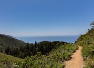
Hike the Ewoldsen Trail
Big Sur, California
4.5
4.2 mi
/ 1500 ft gain
The Ewoldsen Trail is one of the more accessible yet challenging hikes in Big Sur. It is a beautiful ~4-mile loop through the redwood forest that starts in the Julia Pfeiffer state park parking lot, which is across the street from McCay falls. During the first part of the hike, you'll pass picnic tables and walk along a stream until you reach a cross point. One trail is to a small waterfall, Ca...
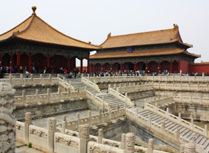
Explore the Forbidden City
Beijing, China
4.5
The Forbidden City is the incredible palace of the Ming Dynasty. It housed the Chinese government for almost 500 years and is located in the middle of Beijing. The palace is massive and extremely unique. Visiting the palace gives you a sense of how developed the Chinese culture was even hundreds of years ago.The entire palace covers 180 acres and will take you a few hours to get through. When ...
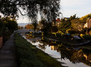
Explore the Venice Canals
Los Angeles, California
4.3
1 mi
The canals are a fun and quiet place to relax away from the hectic Venice boardwalk. Take a stroll through the canals or even get in a run! The reflections in the water are the main attraction and are great for photography. Spring, after some rain, is the best time to go as the water levels are going to be the highest!
Run the Malecón
La Habana, Cuba
3.0
10 mi
The entire Malecón is five miles which gives you the opportunity to make it a loop of ten. From people watching to historic monuments the Malecón provides a great track for seeing Cuban culture while getting in exercise.Starting at the National Hotel of Cuba you'll walk down behind the hotel out onto the Malecón. Keep in mind that you'll want to do this run in the early evening or early morning...
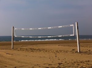
Beach Volleyball at Will Rogers State Beach
Santa Monica, California
5.0
At PCH and West Channel there is a tunnel that goes underneath the highway leading you directly onto the beach. In the tunnel take a left up the stairs onto the bike path. Head south 250 feet and you will hit the first set of courts but be aware you will need lines for these courts! If you want courts that have lines continue heading south to the Annenburg community center. It is an eight minut...
Run the Santa Monica Concrete Stairs
Santa Monica, California
3.0
0.1 mi
/ 111 ft gain
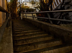
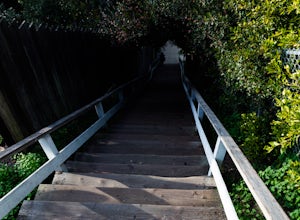
The concrete Santa Monica Stairs are a great way to get in some intense leg burning cardio. There are around 170 steps that are wider and easier than the Santa Monica wooden staircase.This place has been a hot spot in the Santa Monica fitness scene for some time so it is also a good place for meeting new, like-minded people, but because of this parking can be challenging. Best advice is to go e...
Explore Hearst Castle
San Simeon, California
4.5
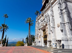
Hearst CastleYou always hear about it but rarely do you make the necessary full day stop to visit the castle with Big Sur just around the corner.Hearst Castle, located high above the ocean, was the creation of two extraordinary individuals, William Randolph Hearst, and architect Julia Morgan.They started their quest in 1919 and continued nearly 30 years building the infamous castle.Julia Morgan...
Mountaineering on the Root Glacier
Chitina, Alaska
5.0
6 mi
/ 500 ft gain
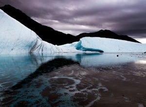
Starting in the town of Kennicott you'll hike on the trail leading north outside of the town for a mile and a half.The trail will end at the edge of the glacier and this is where you put on your crampons. I would also suggest putting on your crampons at the edge of the glacier and not while on it to avoid possibly slipping on the ice!If you have not used crampons before I would suggest you get ...
Camp at Pfeiffer Big Sur State Park
Big Sur, California
5.0
The campground at Pfeiffer Big Sur State Park offers a spectacular variety of natural settings to enjoy. Each of the 189 tent and RV sites is located within the redwood groves, oak woodlands, grassy meadows and they even have riverside camping.Each site has a picnic table, fire ring, access to drinking water, restrooms and showers.The campground is situated in the best location for visiting the...
Catch a Sunset at Bean Hollow State Beach
Pescadero, California
5.0
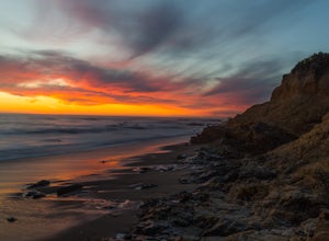
There are a bunch of places to photograph this beach if you head north on the trail that runs along the beach.There is parking at the beach but it can fill up quickly!The only warning you need is about the tide. Make sure you are watching it the entire time because it can creep up on you and will sweep you and your gear into the ocean without a moments notice.
Hike the Old Growth Redwoods Trail
Boulder Creek, California
4.5
0.5 mi
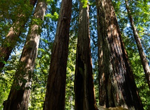
Quick half-mile stroll through the old growth Redwoods that will show you the nature of the ever-living redwood tree.Redwoods are capable of withstanding storms, floods, fire, droughts, and even termites. These legendary trees can live for over 2,000 years and possess incredible strength, vigor, and regenerative powers.The Mother of the Forest is located on this trek and has a circumference of ...
Hike to Sempervirens Falls
Boulder Creek, California
4.0
2.1 mi
/ 100 ft gain
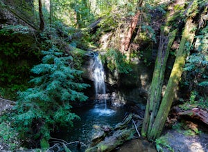
The hike to Sempervirens Falls is an easy 2.1 mile out-and-back hike on the Sequoia Trail. You'll travel through the redwood forest and some of the campgrounds located in Big Basin State Park. The hike is pleasant but on occasion, you'll be too close to the road to feel like you're deep in the wilderness.The falls themselves are nice and have a little viewing deck, but I would suggest going aft...
Hike the Rincon Fire Trail
Santa Cruz, California
5.0
1 mi
/ 300 ft gain
The Rincon Fire Trail Starts at a small dirt parking lot next to CA-9 and traverses down the mountain to the San Lorenzo River Connecting with the Pipeline Trail. The trail can be a simple one of a mile out and back or up to 5 miles depending on your preference. The elevation will change by about 300 feet, and the trail can be slippery when wet so take caution
Rincon Road to the San Lorenzo Riv...
Hike to Kennecott's Ice Caves
Chitina, Alaska
4.0
4 mi
/ 500 ft gain
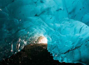
Disclaimer: We do not recommend entering the caves as the ice can become unstable, especially in the warmer months.If you are in Kennicott and have the physical ability to get to these caves, make this the top of your priority list.You'll walk down the path heading north out of the town towards the root glacier. The path is a mile and a half long but to get to the ice caves you'll jump off the ...
Hike the Temescal Canyon Loop
Los Angeles, California
3.9
3.4 mi
/ 1100 ft gain
There are a couple of different ways that you can hike in Temescal Canyon. Options for Hiking Temescal Canyon: The basic loop – 2.6 milesThe loop beginning from Temescal Canyon Trail at Sunset Boulevard – 3.4 milesThe loop with the Bienveneda Trail extension – 3.25 milesThe loop beginning from Temescal Canyon Trail at Sunset Boulevard with the Bienveneda Trail extension – 4.05 milesThe loop wit...
Camp at White Sands National Monument
Tularosa, New Mexico
5.0
1.5 mi
/ 40 ft gain
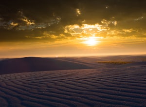
Spend a night under the stars in one of the more beautiful places to take it all in. White Sands National Monument offers camping to “backpackers” who have the ability to hike out into the dunes to set up camp for an overnight adventure. The closest site will be .75 miles away while the farthest site is 1.1 miles away.There are ten “camping sites” available on a first come first serve basis. Th...
Photograph the Albuquerque International Balloon Fiesta
Albuquerque, New Mexico
5.0
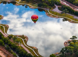
This is one of the most photographed festivals in the world. Professionals and amateurs gather here each year to take millions of photos, and your goal (albeit a difficult one) is to capture a unique perspective at this event. Something that conveys the particular emotion of what the balloon festival means to you.
Dates
You can get information for dates on their website: BalloonFiesta.com
W...
Photograph the Big 5 at the Sabi Sabi Game Reserve
Sabie Park, South Africa
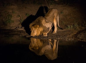
A South African Safari in the game reserve of Sabi Sabi, or most of the reserves in South Africa, is an incredible experience, which gives you the unique opportunity to see these stunning animals calm and relaxed in their natural environment.To get to the reserves, adjacent to Kruger National Park, I would suggest flying from Cape Town or Jo'berg as the drive from either is extremely long and t...
Run the Santa Monica Wooden Stairs
Santa Monica, California
4.0
The wooden Santa Monica Stairs are a great way to get in some intense leg burning cardio. There are around 120 steps that are steeper then the Santa Monica Concrete Stairs, which can provide a deep burn on the intended muscles!This place has been a hot spot in the Santa Monica fitness scene for some time so it is also a good place for meeting new, like-minded people but because of this parking ...
Explore Strokkur Geyser
Biskupstungnabraut, Iceland
4.7
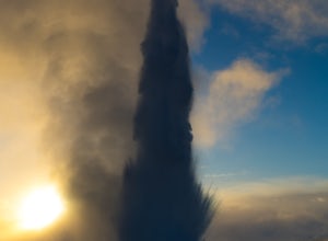
The Geyser, Strokkur, has a small rest stop built around it and after parking, you will walk about five minutes north of the road. There is a high level of anticipation and thrill sitting and waiting for Strokkur to explode.It occurs around every 5-10 minutes and if you are lucky enough to be there during the sunset you can get a nice glow from the sun behind the geyser.
Hike the Backbone Trail via Corral Canyon
Los Angeles County, California
5.0
2 mi
/ 500 ft gain
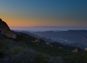
The backbone trail was a vision that started in the 1980’s. It is a trail that stretches 65 Miles starting in Will Rodgers State Historic Park and ending at Thornhill Broome Beach. It has many entrance and exit points but it is anchored in the middle by the Coral Canyon Trail Head. The full trail is scheduled for completion in the summer of 2016.To get to the Coral canyon trail head you will ta...
Bixby Bridge
Monterey, California
4.7
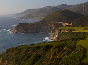
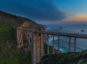
You can't miss this bridge if you are driving north on highway one.
The best time for capturing sunsets behind the bridge is December. The positioning of the sun will better coincide with the location of the bridge.There are four main angles to capture the bridge:
The first two are up close on either side of the bridge-- behind the bridge, you will find a couple of small trails that will lead...
Climb Down into the Depths of Carlsbad Caverns
Carlsbad, New Mexico
5.0
1.2 mi
/ -2000 ft gain
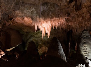
The Carlsbad Caverns is an experience like no other. There is a seven mile scenic road that leads into the park, which will direct you towards the ranger station and entrance to the caves. The entrance to this road starts and ends in Whites City.You have two options to enter the cave: The first is from the natural entrance which will lead you down a steep slope that lasts a little more then a m...
Sunset Hike on the West Vail Trail
Vail, Colorado
3.0
2 mi
/ 300 ft gain
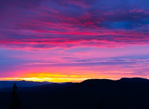
Starting in Lionshead, Vail, CO take the Gondola 19 up to the top of the mountain and head west straight out past Chair 26 and towards the Vail Mountain Wedding deck. Past the deck there will be a trail that you can follow out onto the edge of the mountain called the W Vail Trail. This trail will provide a route to a clearer view of the Rocky Mountains and is a great little hike for catching th...
Community
© 2023 The Outbound Collective - Terms of Use - Privacy Policy

