Anna CohenExplorer
Writer, adventurer, fly fisherwoman, bibliophile, and lover of all things outdoors. I like to grab new experiences by the horns and I am on a mission to live a life worth writing about. Check out my portfolio and my blog, Wild Writes, at www.annamcohen.com.
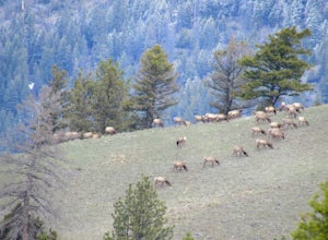
Hike the Hogback Ridge Trail
Philipsburg, Montana
11 mi
/ 5242 ft gain
The trailhead is accessed at the Hogback Homestead. [GPS Info. (Latitude, Longitude):46.41056, -113.7019446°24'38"N, 113°42'7"W]
Due to the isolated location of this trailhead, and the miles of rough dirt road that it takes to get there, you will more than likely have the place to yourself. Park in the dirt area by the fence in front of the homestead. There is a sign off to your left that marks...
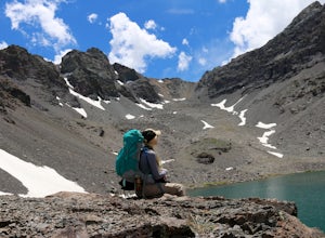
Backpack to Grouse Lake
Markleeville, California
4.7
12 mi
/ 1575 ft gain
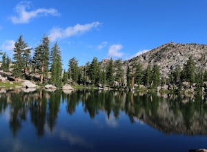
It is a 6 mile hike to Grouse Lake. You begin at the trailhead which is right by the Upper Blue Lake Camp Ground. Park in the dirt parking area and then cross the metal footbridge, and you will see the trailhead marker on your left.The trail takes you into the Mokelumne Wilderness. Follow the trail about 2 miles, through forests and meadows, and you will reach Granite Lake. This is a beautiful ...
Hike to Deadman Lake
Highway 108, California
6 mi
/ 1700 ft gain
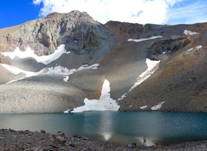
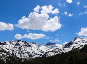
Start: 38º19'08.46"N 119º39'49.26"W Elev 8879ftPark along Hwy 108, head down the bank and across the stream at the bottom. There you will find the start of the trail.This is a challenging hike without much of an actual trail to follow for the majority of it. The hike is very steep in certain areas, especially as you are making your final ascent to Deadman Lake. You can walk up it, no climbing ...
Hike the Old Homestead Loop
Antioch, California
5.0
6.5 mi
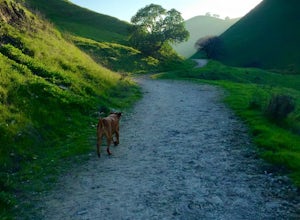
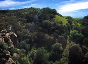
This is a fun day hike that takes you through the beautiful hills of the Black Diamond Mines Regional Preserve and a bit of the Contra Loma Recreational Area as well. You can hike here year round, but I suggest going in the spring time when the hills are covered in soft, green grass and the wild California poppies are in their full glory. This park is dog-friendly, so bring your best friend alo...
Backpack to Blue Canyon Lake
Highway 108, California
5.0
3.6 mi
/ 1280 ft gain
Trailhead Coordinates: 38º 19'08.46"N 119º39'49.26"W Elev 8897ftThe trail is kind of tricky to find. It is West of the PCT trailhead at Sonora Pass and it is not marked. You park along the side of Hwy 108 and scramble down an embankment where a creek flows at the bottom. Cross this creek and you will see the trail. Try to get to the trailhead as early in the day as possible, as parking is very ...
Condor, Volvan, Stone Corral, Coyote Loop
Livermore, California
4.5
4.38 mi
/ 620 ft gain
This regional preserve is perfect for day hikes. There are also designated campsites and even a backpack campsite. Horses and dogs are welcome in the preserve.
There are many different clearly marked trails that one can choose from. A good 4.5 mile loop is to start at the Park Residence entrance. There is plenty of parking in the parking lot there, as well as restrooms. Begin on the Condor Tra...
Hiking Disaster Creek
Arnold, California
While this is not a terribly scenic hike, the trees, creek, and terrain are very beautiful, and the entire area is quiet and peaceful. You're likely not to pass a single other person on the hike, which is great for letting dogs off-leash.The trail starts off with a series of switchbacks, which gain about 700 ft in elevation – this initial climb is certainly the steepest part of the hike, althou...
Hike To Bull Run Lake
Arnold, California
4.3
The hike to Bull Run Lake is about 7.8 miles, roundtrip, and begins at the Stanislaus Meadows Trailhead, located about 10 miles West of Ebbetts Pass. There is plenty of parking near the trailhead, off of the South side of CA 4. The trailhead GPS coordinates are: N38 30.376' / W119 56/617'Once you head out from the parking lot, the actual Stanislaus Meadows Trailhead is a ways down the path. The...
Backpack To Wheeler Lake
Arnold, California
5.0
7.8 mi
/ 1000 ft gain
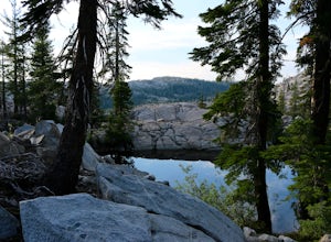
The trail to Wheeler Lake begins at the Woodchuck Basin Trailhead. This trailhead is located a little over a mile east of Lake Alpine on Highway 4. The trail starts off relatively flat and winds through forests and meadows, taking you into the Mokelumne Wilderness. Time it right and you'll be met with stunning wildflowers.The trail then begins its way up to Wheeler Ridge, taking you up over 1,0...
Waimea Falls
Haleiwa, Hawaii
1.0
2.18 mi
/ 240 ft gain
The hike to the Waimea Falls offers both the natural beauty of a tropical rainforest, as well as the unique, in situ opportunity to learn about local history. Although this hike can be crowded, it is definitely worthwhile to see and swim in this amazing Hawaiian waterfall.
The approximately mile-long, flat path to the falls is lined with larger-than-life, exotic flowers, while large trees loom...
Community
© 2023 The Outbound Collective - Terms of Use - Privacy Policy

