Andrew SlatonExplorer
Andrew is a commercial landscape and active lifestyle photographer living on the road full-time with his yogi wife, Ellen, dog, Islay Blue, and stud cat, Colonel Bubba. Based wherever the wind takes them, and teaching workshops along the way. www.slatonworkshops.com
Hike the Big Horn Overlook Trail
Moab, Utah
4.0
3.5 mi
/ 0 ft gain
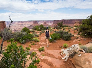
As a pet owner, you probably know that bringing your pooch along on your National Park adventures can be a frustrating experience. Most of our Parks do not allow pets on trails, and for several good reasons, but if you bring your dog(s) with you to Moab country, you’ll be happy to know that there is at least one place near Canyonlands that they can tag along; Dead Horse Point State Park.The Big...
Seneca Lake Trail
Pinedale, Wyoming
5.0
18.4 mi
/ 2280 ft gain
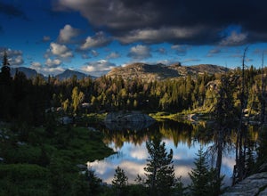
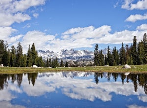
The Wind River Range is one of the best backpacking + climbing wildernesses in the lower 48. Seneca Lake is right at the beginning of some of the most spectacular high alpine climbing and backpacking routes.
From the Elkhart trailhead parking lot, take the Pole Creek Trail directly adjacent to the restroom. You will follow this trail for approximately 4.5 miles through lodgepole pine forests ...
Hike to Slide Lake
Cora, Wyoming
12 mi
/ 1600 ft gain
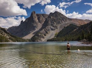
The Winds in Wyoming are incredibly beautiful and offer some of the most challenging, but rewarding hikes. And the popular northern trailhead, Green River Lakes, is one of the most spectacular entry points. GETTING THERE: There are only two ways to get to the Green River Lakes trailhead. and one is over Union Pass from Dubois. I would not recommend this route unless you have high clearance and ...
Camp on the Clarks Fork of the Yellowstone River
Cody, Wyoming
4.0
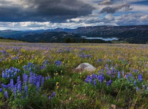
Coming out of Cooke City, MT follow the Beartooth Highway (named the most scenic byway in the U.S.) toward Beartooth Pass. Go about 8 miles.Once you drop back down into Wyoming and pass the Fox Creek campground on your left, start looking for the small break in the trees on your left. There is a clearing and turn in on your right as well. You may pass it the first time, I always do!Once you ...
Backpack to Odessa Lake via Fern Lake Trailhead
Estes Park, Colorado
4.0
9.65 mi
/ 1890 ft gain
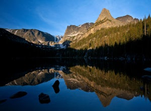
Odessa Lake seems to be one of the true hidden gems of Rocky Mountain National Park. Don't get me wrong, you will likely see some folks there, but it is a far cry from the other crowded Bear Lake trailhead lakes.
There are two ways to reach Odessa; one, from the Bear Lake Trailhead, and the other from the Fern Lake Trailhead, which can be accessed via Moraine Park. I have only gone the latte...
Camp at Nugent Mountain
Big Bend National Park, Texas
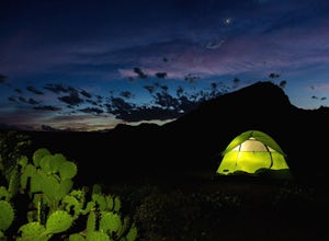
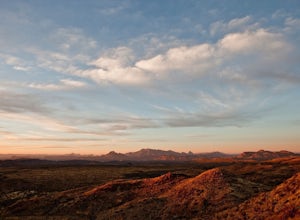
Nugent Mountain is a very handsome butte and Big Bend is a great place to go get some splendid desert solitude and recharge your good vibes. This campsite, NM1, is the perfect spot to relax and get a great practice in.NM1 is one of the park's many backcountry, car camp sites. You will need to get a permit at Panther Junction, and it will cost $12, along with your park entrance fee.Once permit i...
Photographers Point via Pole Creek Trail
Pinedale, Wyoming
4.5
9.26 mi
/ 1188 ft gain
Begin at the main Elkhart Park parking area. Take the Pole Creek Trail directly adjacent to the restroom. You will follow this trail for approximately 4.5 miles through lodgepole pine forests and beautiful alpine parks.
When you begin seeing large boulders and sheer rock walls, you are approaching the famous "photographer's point". It's a great spot to rest if you're going into the Winds fu...
Winter Camping at Fremont Lake Overlook
Pinedale, Wyoming
0.25 mi
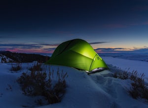
If this is your initiation into winter camping, make it a memorable one by overlooking the beautiful Fremont Lake.There are several spots no more than 200 yards out on the hills that overlook the lake, so take your pick, as I've never seen another soul camping here. The views are spectacular, and you feel like you're out in wilderness, while still being only a 5 minute walk from your car, and a...
Hike to the Crow’s Nest in the Wind River Range
Pinedale, Wyoming
12 mi
/ 500 ft gain
The Crow’s Nest sits just above Glimpse Lake in the Winds. It is best accessed from the most infrequently used trailhead in the range. To access the remote trailhead from Pinedale, take Jackson Street north toward Soda Lake Wildlife Management Area. It becomes an improved dirt road about a mile in. No four wheel or high clearance needed for the next 10 miles. Follow this road through several ca...
Hike to Mystic Falls, CO
San Miguel County, Colorado
4.2
2 mi
/ 300 ft gain
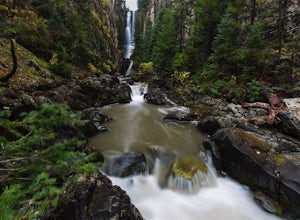
I've been visiting Telluride, CO for the last 20 years, and I'd never once heard of this place. Mystic Falls is not marked on any map I've ever seen. And even some locals seem to have never heard of it. So I feel like I lucked out on this last trip to Telluride when a friend found a blog post and a picture that described a phenomenal, hidden waterfall within 20 minutes of the town of Telluride....
Syncline Loop in Canyonlands NP
Moab, Utah
5.0
7.87 mi
/ 1955 ft gain
Be advised, the NPS signs and maps that warn of a very difficult hike ahead are not hyperbole, as I thought at first. This hike is a loop around the famous Upheaval Dome on an unmaintained trail that leads you down over 1500 feet into the canyon, close to the Green River, then climbs back up 1500 feet and out.
We did it in Summer, not knowing anything about it, and I would recommend going in ...
Hike to Shirley Lake
Cora, Wyoming
13 mi
/ 2000 ft gain
Shirley lake is a beautiful and not heavily traveled area in the Winds. To get there, you start at the Green River Lakes trailhead (8,000 ft) and head out on the Western shore of the lower lake. You can shave off three miles by canoeing to the end of the lake, if you like. But I prefer the hike. The Western side of the lake is gorgeous, mostly deep timber with babbling streams and creeks. It is...
Mosca Pass Trail, Great Sand Dunes NP
Alamosa County, Colorado
5.0
6.49 mi
/ 1549 ft gain
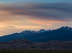
The Mosca Pass trail is an (approx) 6.5 mile out and back hike that takes you through beautiful ponderosa and aspen forests to summit 1500 above the start. The trailhead parking is the first left after the Great Sand Dunes visitor center. It is a moderate hike, but allow for several hours, as the wildflowers are fantastic and there are several scenic views. The trail follows a beautiful babblin...
Cattail Falls
Big Bend National Park, Texas
5.0
3.0 mi
/ 360 ft gain
Head south on the Ross Maxwell Scenic Drive in Big Bend. Just after mile marker 3, you will see signs for the Sam Nail Ranch overlook, and a small opening in the scrub brush will appear on your left... but go slow, it's easy to miss!
Turn left down the dirt road. Follow it for about a mile or two until you reach a remote parking area in the desert. The road is not terrible, but be careful. ...
Overnight at Lookout Bothy on the Isle of Skye, Scotland
Highland, United Kingdom
5.0
3.1 mi
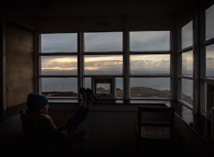
The Lookout Bothy is at the northern most tip of the Isle of Skye at Rubha Hunish. It is a small, primitive hut that overlooks the North Sea. There are binoculars and whale charts, a shovel for a biff, but not much else by way of amenities – just amazing views and shelter from the wind and rain!Drive N/NW on A855 (from Portree to Uig) past Kilmaluag. When you reach the red phone booth, turn int...
Alta Lakes Dispersed Camping
Telluride, Colorado
4.7
Note: Camping is permitted around the lake. There are approximately 20 undeveloped campsites. For more information, head to the US Forest Service website.
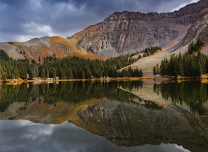
Camping Facilities20 campsites that are completely undevelopedCamping is permitted at only the designated campsitesPortable toilets are available; however, there is no waterCampsites are available on a first-come, first-served basis
Gettin...
Community
© 2023 The Outbound Collective - Terms of Use - Privacy Policy

