Derrick LytleExplorer
- trail running - time lapse photography - filmmaking - adventure - @derricklytle derricklytle.tumblr.com
Running Windmill Trail
Hurricane, Utah
8 mi
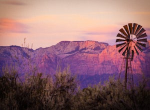
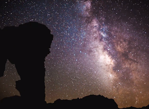
Windmill trail and trailhead sits just down the road from Gooseberry Mesa Trailhead in Apple Valley, Utah. Head out on this figure-8 loop for as long as you want. If you're smart, you'll bring your MTB, and you can ride the singletrack once you're done getting your run in.This is also a great spot to set up camp and get great starlit skies.
Running to Grizzly Bear Mine
Ridgway, Colorado
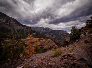
Bear Creek Trail, which leads to Grizzly Mine, is located just 2 miles outside of Ouray, Colorado on Highway 550 immediately following the first tunnel. There's two parking lots, a large one and a small one, the trail leads from the small parking lot over the tunnel and highway. There are no bathrooms or water at the trailhead.This trail has very low traffic. I saw one person while out on it wh...
Running Chuckwalla
St. George, Utah
5.0
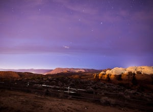
The Chuckwalla Trailhead is part of the Red Cliffs Desert Reserve and provides beautiful and easy to to access running, mountain biking and climbing right outside of St. George Utah.To access the trailhead follow Bluff St. north toward Dameron Valley. Continue straight through the light at Snow Canyon Parkway and you will immediately see a a sign indicating the Chuckwalla Trailhead is on your ...
Hope Pass via Willis Gulch
Buena Vista, Colorado
5.0
8.75 mi
/ 3297 ft gain
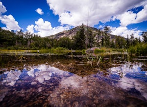
Hope Pass is accessed from the Willis Gulch trailhead about 25 miles outside of Leadville, Colorado. To get to the trail head, follow Highway 24 East for about 16 miles until you arrive at the junction for Highway 82. Turn right and follow Highway 82 for about 8.3 miles. You will see a sign on the right that says "Willis Gulch Trailhead." Turn left into the dirt parking lot next to the river an...
Explore a Manmade Geyser in Utah
Green River, Utah
3.0
Four and a half miles from the town of Green River, Utah, Crystal Geyser is one of the few manmade geysers as a result of the area's historical mining industry. This cold-water geyser usually erupts every eight to 20 hours. Getting There Getting to the geyser is easy and the site can be accessed by car on a washboard gravel and paved road. Take the exit for UT-19 and head west away from Green R...
Photographing Dutchman's Arch
Emery County, Utah
Duchman's Arch is visible from I-70 but ask anyone about it and they will look at you with a blank face. It's a great medium sized sandstone arch but getting there takes time and patience driving down sandy, rutted out, washboard roads.To get to the arch, take exit 131 and turn east. Follow the frontage road until it turns to dirt. From here, follow the main road and follow the old and sun cha...
Photographing Rainbow Vista
Clark County, Nevada
4.5
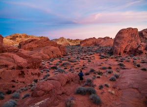
Rainbow Vista is located in the heart of Nevada's Valley of Fire State Park and only a short drive, north on I-15 out of Las Vegas.To get to Rainbow Vista drive the loop road toward the park's visitor center. It's a good idea to stop here if you need water, snacks, or a map. Remember the desert gets hot in the summer.Take the road, Mouse's Tank Road, up the hill toward Mouse's Tank and follow t...
Hike the Pinnacle Loop in the Valley of Fire
Clark County, Nevada
5.0
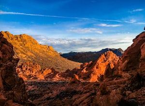
Pinnacle Loop is an unmaintained poorly marked trail leading to a cluster of sandstone towers, hidden close to some of the more popular areas of the Valley of Fire like Atlatl Rock and a campground.Getting TherePinnacle Loop shares the same trailhead as the popular Atlatl Rock picnic area and petroglyphs. To get to this trail heading from Las Vegas, take the I-15 north towards Salt Lake City an...
Explore Nevada's Ward Charcoal Ovens
White Pine County, Nevada
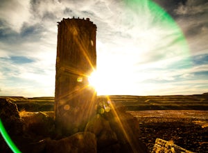
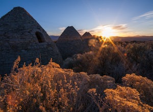
The Ward Charcoal Ovens are a unique photo location with some of the darkest night skies in the country. Being a Nevada state park, the area is lightly traveled, which means you won't be competing with other photographers for your perfect shot.The Ovens are easy to get to. From Ely drive south east on US 93 until you reach Cave Valley Road. From here follow the dirt road and the signs for the p...
Photograph Colorado's Paint Mines
Calhan, Colorado
4.9
0.25 mi
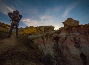
About an hour from Colorado's busy Garden of the Gods is a multi-colored hoodoo valley called, The Paint Mines. Similar in appearance to Utah's popular Goblin Valley, The Paint Mines offer colorful hoodoo formations making your photography here even more awe inspiring.Getting to the park is easy, from Denver take I-24 South toward Colorado Springs, then take I-24 east toward Calhan, turn south ...
Hike to the Fire Wave
Clark County, Nevada
4.6
1.3 mi
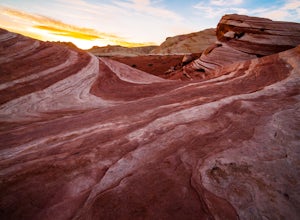
Once a secret unmarked location The Fire Wave has quickly become a huge draw for park visitors in The Valley of Fire. The hike to the sandstone wave is just over a half mile of sand and sandstone and it's worth every step.
While not as popular as The Wave in Utah the Fire Wave can be accessed without the need for a permit and provides equally stunning vistas.
The trail starts across the road fr...
Middle Fork Taylor Creek in Kolob Canyon
New Harmony, Utah
4.0
4.86 mi
/ 889 ft gain
The Taylor Creek trailhead sits in the little-explored part of Zion National Park known as Kolob Canyon just south of Cedar City. The trail starts at around 6,000 feet and then drops a little lower in to the canyon and runs along Taylor Creek. With 450 feet of elevation change along the five-mile roundtrip trail, this is a great outing for those just getting into trail running. The trail isn't ...
Running Ute Canyon in Colorado National Monument
Grand Junction, Colorado
8.6 mi
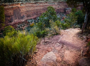
Ute Canyon Trail is a mostly undeveloped 4.3 mile trail (8.6 round trip) in Colorado National Monument that offers technical descents, route finding, water crossings, and gorgeous red rock walls. The trailhead is just a few miles off I-70 from the town of Fruita—it's well worth the trip. Remember that there's no water, restrooms, or trash bins at the small trailhead so be sure to pack in and pa...
Hiking the Ropes Trail in Page Arizona
Page, Arizona
5.0
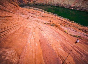
The Ropes Trail is an old hiking trail below Glen Canyon Dam that has long since been abandoned by the park service. It is also one of the few trails that leads down the steep walls into the canyon. Let me say that again, it's steep. Getting there Take Highway 89 from Page going north and take the old radio tower road, a dirt road on your left, and follow it to the end of the road and park in t...
Explore Rifle Falls
Rifle, Colorado
4.5
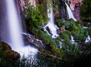
RIfle Falls is located up Rifle Canyon just outside of the town of Rifle on I-70 in Southern Colorado. After driving by the sign for this gem many times on my drives from Utah to Colorado I made a short detour to check out the falls and have some lunch.The state park is small with a some short trails, car camping, some short hiking trails with campsites, and these waterfalls with picnic tables ...
Camp at the Little Grand Canyon
Emery County, Utah
4.6
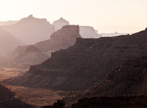
The Wedge and The Little Grand Canyon are located in Eastern Utah and despite their amazing beauty are relatively unknown and overlooked partly due to their close proximity to national parks like Arches and Canyonlands.
With it's massive size, The San Rafael Swell, where The Little Grand Canyon is located, is easily accessible from I-70, Orangeville, Huntington, Castledale, and the numerous oth...
Explore Elephant Rock, NV
Clark County, Nevada
4.3
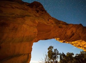
Elephant Rock is a beautiful red sandstone arch right at the West Entrance of Nevada's first state park, The Valley of Fire.Elephant Rock is easy to find. From I-15 take exit 75 and travel west. The exit is easy to find and there's an indian smoke shop and casino. If you forgot to get supplies you can stock up on snacks and drinks there. Follow the road west for about 17 miles until you get to ...
Exploring Nevada's Pastel Canyon
Clark County, Nevada
4.7
Pastel Canyon or Pink Canyon is part of wash no. 5 in The Valley of Fire State Park and sits close to The Fire Wave and the White Dome trail yet since there is no official trail and isn't on any map it's hardly noticed.To get to the slot canyon drive on Mouse's Tank Rd. in the Valley of Fire to Parking Lot #3 or park at the bottom of Wash no. 5 in a pullout. If you park at lot #3 follow the roa...
Kolob Arch
New Harmony, Utah
4.7
13.86 mi
In the lesser traveled area of Zion National Park sits Kolob Arch, a sandstone arch high up on a cliff tucked back in the canyon.
To get to Kolob Arch take exit 40 on I-15 in Utah. You'll see a Zion National Park Visitor's Center. Here you can fill up on water, use the bathroom, and get a map to the arch.
From the visitor's center head up the only road in the canyon and follow it for a few mi...
Hiking Charlie's Spring in The Valley of Fire
Clark County, Nevada
6.7 mi
Charlie's Spring is a small oasis in the Valley of Fire State Park just outside of Las Vegas, Nevada. The unmarked trail is flat and follows a wash for 2.5 miles down dry sandstone waterfalls, a small slot canyon and ends in a small spring surrounded by cattails and bushes, a start contrast to the dry desert you walk through to get there.Roughly a half mile in to the Valley of Fire, from the Ea...
Hike to the Timber Creek Overlook in Kolob Canyon
New Harmony, Utah
5.0
1.15 mi
/ 102 ft gain
The Timber Creek Overlook trail is located at the end of the Kolob Canyon drive in Zion National Park. This hike is very family friendly and offers restrooms, picnic tables, and a well maintained trail.
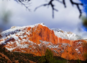
Bring your camera and hike the trail around sunset to get beautiful sunset shots of the valley and to see the massive sandstone walls of Kolob Canyon glow in the warm light.
Take advantage of ...
Community
© 2023 The Outbound Collective - Terms of Use - Privacy Policy

