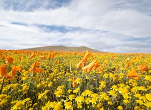
Visit the Antelope Valley Poppy Reserve
Lancaster, California
5.0
2 mi
/ 900 ft gain
If you're going during wildflower season, start your adventure at the visitors center at the end of 150th St. W. Parking in the lot outside the visitors center is $10, but there is ample street parking that is free. In the visitors center you can read more about the reserve, plan your hike, and see where there is an abundance of poppies. Remember, the visitors center is only open March 1st thro...
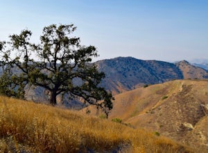
Hike the Upper Las Virgenes Canyon Open Space Preserve Trail
Ventura County, California
8.6 mi
/ 1851 ft gain
The most popular point of entry is through the Victory Trailhead, which has ample parking. You can park on the street or you can pay $3 to park at the trailhead parking lot. You can also enter at the Upper Las Virgenes Canyon Trailhead at the northern end of Las Virgenes Canyon Road in Calabasas. Once you are in, it is easy to forget about city life outside. There are a plethora of connecting t...
Visit the Secret Swing in Elysian Park
Los Angeles, California
4.2
0.3 mi
/ 360 ft gain
For the most direct directions to the swing, plug in "Swing on top of Elysian Park" into google maps, which will take you directly to the trailhead. If you want to do it the more old fashion way, the swing is on top of a hill at the intersection of Angels Point Drive and Park Row Drive in Elysian Park. There is a turn out with about 5 parking spots on Angels Point Drive. Park there, and the tra...
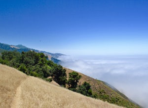
Hike the Waters Ridge Trail
Big Sur, California
5.0
7 mi
/ 2100 ft gain
Access the Waters Ridge Trail from the Ewoldsen Trail, located in Julia Pfeiffer Burns State Park. Although steep, this path is fairly short, and rewards you with spectacular views at the top. About halfway around the Ewoldsen Trail Loop, you'll come across a turnoff on the right, with a sign demarcating the Waters Ridge Trail. Climb up the side of the hill, and you will be rewarded with except...
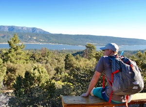
Hike the Cougar Crest Trail
Big Bear, California
5.0
6.7 mi
/ 938 ft gain
On the north side of Big Bear Lake, just off the 38, you will find a turn off for the Cougar Crest Trail. The parking lot is well marked, and signs for the trailhead are easy to spot. Parking is not an issue if you come in later in the afternoon, but the hike can get crowded during peak hours. Follow signs towards the Pacific Crest Trail (the Cougar Crest Trail links up with the PCT). The path ...
Hike to Aztec Falls
San Bernardino County, California
3.3
1.2 mi
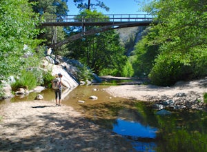
From Lake Arrowhead, take the 173 to Hook Creek Road until you dead end onto Squint Ranch Road. Take a right at the first fork in the road, and park in the lot for Splinters Cabin. The dirt road can be a bit rocky and might not be the best for small cars. Once you're there, be sure to display your Adventure Pass in your car. Take the trail and follow the creek until you see a bridge. You'll hav...
Visit the Mayan Ruins in Tulum
Tulum, Mexico
4.6
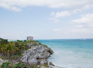
About a two hour drive from Cancun, these Mayan ruins are one of the most visited in the Yucatan Peninsula. Although it is accessible to the public, most people go with tour companies! Although this isn't the most adventurous way to go, tour guides can really make this experience awesome. Most guides have an attachment to the ruins and are passionate about the history and the meaning of the str...
Hike Panum Crater Trail
Lee Vining, California
3.3 mi
/ 874 ft gain
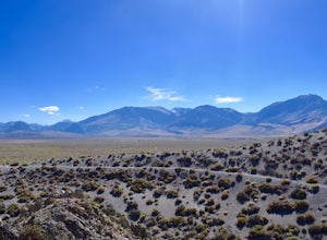
If you are visiting Mono Lake, the Panum Crater Trail is not to be missed! From 395, take highway 120 east for about 2.5 miles. Look for a small wooden sign for Panum Crater and turn left onto a dirt road. If you reach the turn-off to the South Tufa Area, you have gone too far! After about a mile on the dirt road, you will reach the a dead end, and the parking area underneath the crater. The tr...
Hike to the Teepee in the San Gabriel Mountains
La Cañada Flintridge, California
5.0
3.2 mi
/ 1400 ft gain
Hidden in the small community of La Canada, California, the trailhead is pretty hidden! From the 210, take the exit for Highway 2/Angeles Crest Highway. Head north (towards the mountains) for about a mile. As the highway begins to curve, you will come across a small side-street, Harter Lane. Turn Left, and follow the road to the end, and park.At the end of Harter Lane, you will find a small pav...
Explore the Mayan Ruins at Chichen Itza
Tinum, Mexico
3.0
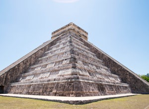
Located in the small town of Piste, about 2.5 hours outside of Cancun, Chichen Itza is a drive to get to, but well worth it! Most people visiting the ruins go with a guide or a tour company, and this is definitely the way to go. Guides have a deep attachment to the site, and provide visitors with impressive knowledge and unique interpretations of the ruins. I know this isn't usually the most ad...
Watch the Sunset at Ratner Beach
Malibu, California
4.5
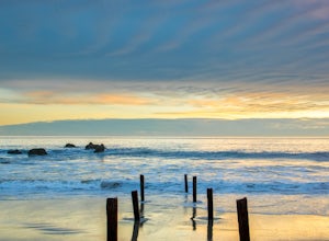
Unlike most beaches in Los Angeles, this tiny little stretch of beach is usually empty, and is a little gem! It is the perfect place to get an unobstructed view of the sunset, and the sticks in the ground make for a picturesque sunset picture! Just be warned, this beach is right on PCH, so expect car noises! If you are looking for tranquility, this might not be the place. Parking is pretty easy...
Photograph Wild Mustangs in Mono County
Benton, California
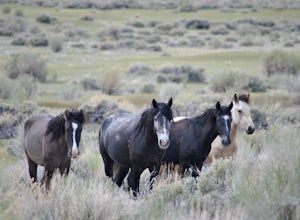
Since these are wild horses, tracking them can be difficult. However, they tend to play and graze in a certain field in Mono County, right outside of Mammoth Lakes and Yosemite! From CA-395 turn onto CA-120 towards Mono Lake. Take this road for 21 miles until you reach Dobie Meadows Road, a one lane dirt road. It it not very well marked, so we suggest you take some form of GPS. This road tentat...
Photograph the Big 5 at the Maasai Mara Wildlife Reserve
Olpunyata Road, Kenya
5.0
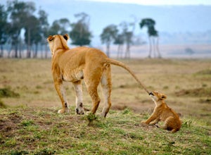
Wondering where many of the national geographic photographers capture those amazing wildlife shots? The Maasai Mara is one of the top destinations for animal enthusiasts, and photographers alike. With premiere lodging and an abundance of wildlife, the Mara is a place you will never want to leave.
In order to get to the Maasai Mara, you must drive or fly from Nairobi, Kenya. For those of you wh...
Hike to the Top of Kho Nang Yuan Island
Tambon Ko Tao, Thailand
0.9 mi
/ 560 ft gain
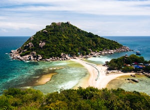
In order to get to Koh Nang Yuan Island, you will need to take a 15 minute long tail boat trip starting from Sairee Beach on Koh Tao. The easiest way to book the boat is to visit any tour agency near Saree Beach. Most of these tour groups will book you a boat and a driver for the day. You can also negotiate with local boat owners that wait on the beach! Typically the price for a one-way trip is...
Community
© 2023 The Outbound Collective - Terms of Use - Privacy Policy

