Jamie FleckExplorer
↟↟ The best people in life are free. ↟↟ lady in the city ⁞ tomboy in the outdoors ⁞ photographer for fleckography co. ➳www.morningsbythesea.com➳
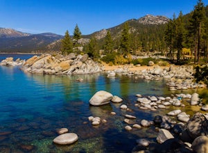
Sand Harbor Beach
New Washoe City, Nevada
4.8
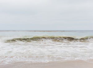
This is what you would call a family beach. It is clean, beautiful, and well maintained. The admission price for vehicles has gone up quite a bit, but based on the economy and the fact that this park remains clean and glass-free, you really cannot complain. The beach gets pretty crowded and they will close the gates when parking is full so your best bet is to arrive before noon. The sand is sof...
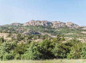
Elk Mountain
Indiahoma, Oklahoma
4.0
2.82 mi
/ 538 ft gain
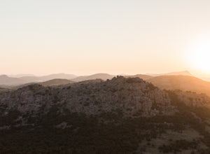
Elk Mountain is one of the tallest granite peaks in the beautiful Wichita Mountains Wildlife Refuge. Its summit is at 2,270 feet, and the Elk Mountain Trail allows hikers to be able to view the Charon Garden Wilderness and the Wichita Mountains Wildlife Refuge from the top. This hike is perfect practice for more difficult hikes in the future, with its continuous gradual climb.
The Elk Mountain...
Hike the Cattle Canyon Trail
La Verne, California
6.4 mi
/ 750 ft gain
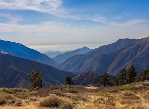
Within the San Gabriel Mountains from Highway 39 and along East Fork Road is Cattle Canyon. To go through Cattle Canyon, you can access the trail head just south of the Bridge to Nowhere trail head along East Fork Road right after it intersects with Glendora Mountain Road. There is a small parking lot near the trail head and also across the bridge. Use caution and do not park along the road whe...
Hike the Blue Ridge Trail via Inspiration Point
Valyermo, California
5.2 mi
/ 1050 ft gain
There are two trail heads for the Blue Ridge Trail, one via the Grassy Hollow Visitor Center, and the other across from Inspiration Point. When parking gets crowded over at Grassy Hollow Visitor Center, than parking at Inspiration Point is the better option. To access the Blue Ridge Trail from Inspiration Point, head west on the Angeles Crest Highway (Highway 2) from Wrightwood. About 5 ½ miles...
Camp at Osage Hills State Park
Bartlesville, Oklahoma
3.0
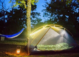
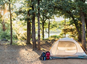
Only 15 minutes away from Bartlesville on SH-60 is the scenic Osage Hills State Park. It boasts lush greenery, lakes and creeks for fishing, hiking trails, and mountain biking trails to enjoy. There are 20 semi-modern sites with electricity hook-ups and 7 tent sites located in the center of Osage Hills State Park about 1 mile from the entrance off SH-60. If you head west on the short road to th...
Camp at Great Salt Plains Lake
Jet, Oklahoma
3.3
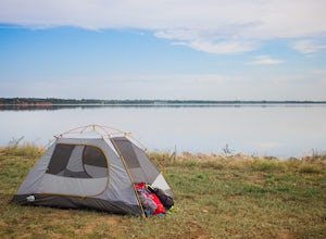
Located in Great Salt Plains State Park in western Oklahoma, Great Salt Plains Lake provides ample camping opportunities while also being a very scenic location with kayaking, fishing, and bird watching activities. It is also a great place to stay at if you are traveling to the salt flats or Alabaster Caverns nearby.There are two campgrounds at Great Salt Plains Lake. One is the River Road camp...
Photograph Little Sahara State Park
Waynoka, Oklahoma
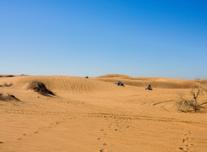
In western Oklahoma and just a few miles south of the town of Waynoka, is a sand dune gem called Little Sahara State Park. Known to ATV and dirt bike enthusiasts all over the region, Little Sahara State Park contains over 1,500 acres of golden sand dunes towering up to 75 feet high that were formed by prehistoric river flow from the Rocky Mountains. It is truly one of a kind natural wonder, as ...
Photograph the Tallgrass Prairie Preserve
Pawhuska, Oklahoma
4.0
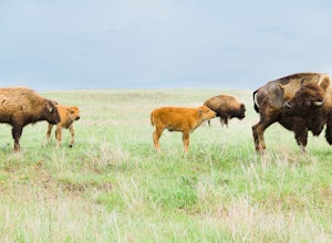
Near the town of Pawhuska and about a 50-minute drive west of Bartlesville, is the incredibly scenic Tallgrass Prairie Preserve. The 50 mile drive through it spans to the Kansas border. Along all the way, you can see thousands of roaming buffalo, beautiful wildflowers, tallgrass, cattle, and many other kinds of wildlife.The most popular route through the Tallgrass Prairie Preserve is to take th...
Camp at Greenleaf State Park
Muskogee, Oklahoma
4.0
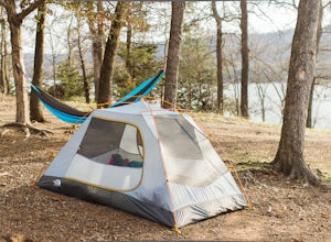
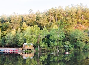
About an hour away from Tulsa is the award winning, beautiful Greenleaf State Park. With tent and RV sites situated all along Greenleaf Lake, there are so many scenic options to choose from when wanting to camp at Greenleaf State Park. Those wishing to stay there for more than one day have close access to the marina (only kayaking, canoeing, and fishing boats allowed) and the Ankle Express trai...
Cathedral Mountain Trail at Gloss Mountain SP
Cleo Springs, Oklahoma
3.5
1.12 mi
/ 180 ft gain
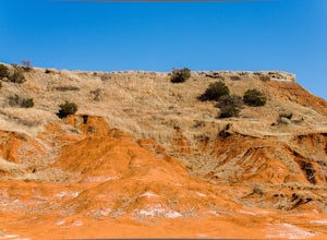
In central western Oklahoma, there is a fiery hued “mountain” range that is unique for its shiny, mirror like exterior due to its high selenite content layered upon each other during the prehistoric times. This colorful myriad of mesas and buttes towering almost 1,600 feet above sea level is called the Gloss Mountains. The Gloss Mountains are also known as the Glass Mountains, and all of the me...
Scenic Drive through Sequoyah State Park
Hulbert, Oklahoma
Only about a 50 minute drive away from Tulsa, Sequoyah State Park has a lot of scenery to offer for any outdoor photographer. During the winter season, it is especially beautiful and serene, as there are less visitors and campers and the area is still lush in color with the evergreen trees. Along the short 3.5 mile drive from the entrance to the end of the park, there are about 7 walking trails...
Photograph the Salt Flats at Great Salt Plains State Park
Cherokee, Oklahoma
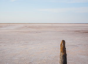
Located in western Oklahoma and close to Great Salt Plains Lake, is the salt flats of Great Salt Plains State Park. With nearly 18 square miles of layers of salt that had been deposited from a prehistoric ocean, it is quite an incredible landscape to photograph. There are hundreds of species of birds that are protected in this location and are beautiful for photographs as well. The best time to...
Bighorn Mine Trail
Azusa, California
5.0
3.69 mi
/ 607 ft gain
If you decide to head over to Wrightwood for some skiing during the winter, make sure to get a hike in while you’re at it. There are several trail systems along the Angeles Crest Highway (Hwy 2), and one of them is scenic Big Horn Mine Trail. The end point of the hike is the historic and abandoned Big Horn Mine, discovered by Charles Tom Vincent in the late 19th century. The trailhead is access...
Camping at Leo Carillo
Malibu, California
4.5
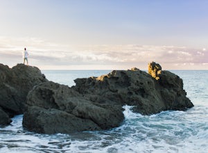
Leo Carrillo State Park has 1.5 miles of two sandy beach areas, tide pools, and numerous coves and sea caves. This year-round paradise offers privacy and ocean access for anglers, divers, surfers, wildlife watchers, beachcombers, and campers. Giant sycamores shade the main campgrounds. The park also features back-country hiking. The 135-site camping area at Leo Carrillo is inland from the beach...
Ankle Express Trail to the Swinging Bridge
Muskogee, Oklahoma
3.0
4.96 mi
/ 390 ft gain
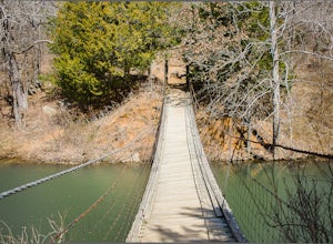
With beautiful lakeside views and a swinging bridge as a destination, the Ankle Express hiking trail in Greenleaf State Park provides a decent amount of uphill hiking and scenery.
The Ankle Express trail head is located just across the Deer Run campground at Greenleaf State Park. There is parking for around 5-6 cars at the trail head, with ample parking within the state park. The Ankle Express...
Mountain Trail to the Bluffs
Wilburton, Oklahoma
5.0
3 mi
/ 604 ft gain
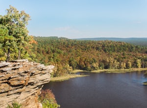
In the heart of the picturesque Sans Bois Mountains, is Robbers Cave State Park. Robbers Cave State Park is rich in its history with outlaws and also provides unbelievable scenery and various outdoor activities to enjoy.
A great way to view the Sans Bois Mountains as well as the scenic Lake Carlton, is to hike the Mountain Trail to the bluffs. The Mountain Trail begins at the south end of the ...
Hike the Rough Canyon Trail past the Cattail Pond Junction
Wilburton, Oklahoma
2.2 mi
/ 980 ft gain
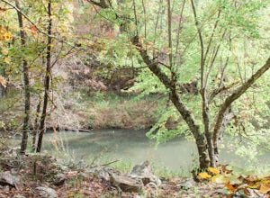
Located west of the infamous Robbers Cave, the alleged hideout of outlaws Jesse James and Belle Star, is the picturesque Rough Canyon Trail.The Rough Canyon Trailhead begins to the west of Robbers Cave and is accessible by parking in the Robbers Cave parking lot. You will begin the hike along Black Gum Creek, before climbing up somewhat steeply for about 0.2 miles and then leveling off again. P...
Hike around Cuicocha Lake
Vía Cotacachi - Quiroga - Cuicocha, Ecuador
5.0
6.2 mi
/ 1000 ft gain
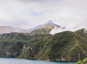
Not very far from the touristy Ecuadorian town of Otavalo and the retirement paradise of Cotacachi is the Cotacachi Cayapas Ecological Reserve. It boasts a rainforest, many volcanic lakes, and waterfalls. The infamous 11,089 foot tall Cotacachi Volcano is located within the reserve, towering near the Cuicocha Lake.You can view the Cotacachi Volcano, as well as the Cuicocha Lake and its two isla...
Stoddard Peak Trail
Claremont, California
4.0
5.93 mi
/ 1129 ft gain
On the way to Mount Baldy and within the trail system of the San Gabriel mountain range is the Stoddard Peak Trail. The Stoddard Peak Trail, which is basically the old Barrett-Stoddard fire road, goes through the Stoddard Canyon into Stoddard Flat, and then eventually leads to Stoddard Peak. The Stoddard Peak Trailhead can be accessed by driving on Mount Baldy Road towards Mount Baldy, going th...
Camp at Doris Campground in the Wichita Mountains
Indiahoma, Oklahoma
5.0
In the western part of the Wichita Mountains Wildlife Refuge, nestled right on scenic Quanah Parker Lake is Doris Campground. Doris Campground offers an all-round perfect camping experience in the extraordinary Wichita Mountains whether you are in an RV or tent camping. There are five loops in the campground (A,B,C, D, and E) for single unit camping and there is also a semi-primitive area for t...
Explore the Lower Mountain Fork River, Beavers Bend SP
Broken Bow, Oklahoma
5.0
Beavers Bend State Park in Broken Bow, Oklahoma is known for its captivating foliage in the fall; however, another distinct feature that it offers is the Lower Mountain Fork River. The Mountain Fork River is accessible via Highway 259-A off of U.S. 259. The lower part of the river winds through Beavers Bend State Park for about 5 miles with Presbyterian Falls in the southern portion and flowing...
Photograph the View from Mount Scott
Lawton, Oklahoma
5.0
Nestled on the east side of the picturesque Wichita Mountains National Wildlife Refuge is the magnificent Mount Scott, rising 2,464 feet above sea level. One of the most famous granite rock peaks in Oklahoma, Mount Scott offers panoramic views of the Wichita Mountains to the west, the wind turbines of the Blue Canyon Wind Farm to the north, and Lake Lawtonka and the historic town of Medicine Pa...
Camp at Point Mugu's Sycamore Canyon Campground
Malibu, California
The beach at Point Mugu State Park is just far away enough from the bustling town of Malibu and its popular beaches to feel like you are still secluded with nature. A great way to be close to the beach at Point Mugu State Park and access it easily whenever you want would be to camp at the Sycamore Canyon Campground at Point Mugu.The Sycamore Canyon campground is located within a beautiful cany...
Camp at Oh Ridge Campground on June Lake
Bishop, California
5.0
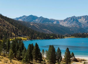
Nestled along the shores of picturesque June Lake, is the Oh Ridge campground. Oh Ridge has access to the beach of June Lake via Pine Cliff Road, and the town of June lake as well as Gull Lake, Silver Lake, and Grant Lake are all within a short driving distance along the June Lake Loop. Mammoth Lakes are about 25 minute drive from Oh Ridge Campground. The campground is very scenic and wide ope...
Community
© 2023 The Outbound Collective - Terms of Use - Privacy Policy

