Jeff RichardsExplorer
Addicted to the mountains and in love with all they offer. Boulder, CO
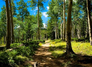
Mt. Belford and Mt. Oxford
Buena Vista, Colorado
4.5
10.34 mi
/ 5856 ft gain
You'll being your ascent at the Missouri Gulch Trailhead, which is located a few miles up Chaffee County Road 390, at around 9,600 feet. The trail is very clear and very well maintained, but is steeper than most trails (even quite a few of the 14er trails I've done) right from the get-go. Remember, the round trip length is anywhere from 11-13 miles, so don't burn yourself out too quickly.
Once...
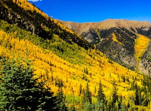
Hike Mount Shavano and Tabeguache Peak
Salida, Colorado
4.0
9.25 mi
/ 4600 ft gain
Start out on the Shavano and Tabeguache Trailhead off of FR 252 outside of Poncha Springs, at about 9,700 feet, and begin your trek into the forest. In the first half of a mile there are a few trail marker signs that should be read carefully to insure the right path is followed, but these signs are very easy to understand, and getting off track is hard. After this half mile, there is only one...
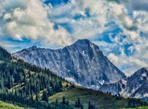
Capitol Lake via Capitol Ditch
Snowmass, Colorado
5.0
12.28 mi
/ 2575 ft gain
The route to Capitol Lake is fairly straightforward, but not without its minor hardships. The route begins at the end of Capitol Creek Road, 9 miles from the small "town" of Snowmass (NOT Snowmass Village - that's the high-class ski resort). The last few miles of this road provide the first minor hardship, as it is rated as a 4WD road and does have a number of fairly difficult spots. However...
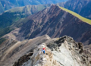
Torrey's Peak via Kelso Ridge
Silver Plume, Colorado
5.0
5.79 mi
/ 2982 ft gain
The start of this route up the Kelso Ridge is the same as doing the standard route of Gray's and Torrey's peaks. From the trailhead cross the large metal bridge and continue on the great trail as it slowly climbs away from the parking lot and trailhead. This first section is not steep, but provides a good warm up for the day ahead.
After hiking anywhere from 30 minutes to an hour you will co...
Green Mountain via Chautauqua Park
Boulder, Colorado
4.5
5.24 mi
/ 2467 ft gain
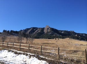
Starting from the popular Chautauqua Park trailhead, head west on the main trail to the first branch off onto a smaller trail that will take you toward Baseline Road. Follow this trail until it eventually connects with Gregory Canyon Trailhead—you can park at this trailhead if you wish, but miss out on view of the Flatirons.
Head out on the main Gregory Canyon trail that heads due west into th...
Castle Peak and Conundrum Peak
Aspen, Colorado
5.0
12.71 mi
/ 5125 ft gain
There are many different places to start the trek up to Castle and Conundrum. The first step, however, is always go to the end of Castle Creek Road just outside of Aspen, CO. When the paved road ends, there is parking available right off the road for those who don't wish to drive further. However, if you drive up Forest Road 102 (rough 2WD) for a half mile or so there is more parking with de...
Hike Mount Massive
Leadville, Colorado
4.8
Starting from the Mt Massive Trailhead off of Halfmoon Creek Road (a half mile past the more popular Mt Elbert Trailhead), follow the excellent and easy trail into the woods. This trail is wide and abnormally flat for a 14er trail for the first three miles. During these first 3 miles the only real "challenge" comes in the form of two stream crossings. However, unless you are going in very early...
Hoh Rainforest and Hall Of Mosses
18113 Upper Hoh Road, Washington
4.5
1.04 mi
/ 203 ft gain
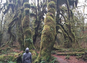
Starting at the Hoh Rainforest Visitor Center, take the only trail out into the forest itself. After a few hundred yards there will be a sign pointing you in the direction of the Hall Of Mosses. Follow signs and a very well-maintained trail over crystal clear creeks and fallen trees until you reach the Hall Of Mosses trail junction. The trail itself is only a 0.8 mile loop, but is packed wit...
Bierstadt, Evans, and The Sawtooth Loop
Idaho Springs, Colorado
4.5
9.76 mi
/ 3438 ft gain
Starting from the oddly poorly marked Guanella Pass Trailhead (Google maps directions to Guanella Campground and then drive about two miles past it to the south), the trail heads southeast toward Bierstadt, and much of your route to the first summit is visible from the parking lot. The trail to Bierstadt starts out at just over 11,000 feet and stays nearly flat for the first mile, allowing you...
Tackle Beautiful McClellan Butte
North Bend, Washington
5.0
Starting at the McClellan's Butte Trailhead, right off of I-90 exit 47, head out on the main (only) trail at the trailhad. The first half mile of the trail is quite easy as it meanders through the forest, but don't be fooled or worried, it will get harder. This first half mile has a crossing of a forest road. You can either cross it and go up what is marked as the John Wayne Trail, or follow th...
Rialto Beach and Hole-in-the-Wall
Forks, Washington
4.3
3.35 mi
/ 66 ft gain
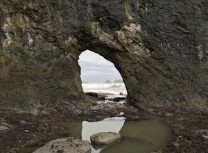
Start at the very well kept parking lot at the end of Mora Road outside of La Push, Washington. There is no clearly marked trail to get to the sea stacks that are in all the pictures. It's about a mile hike down the beach to them. Although it is short, the hike can be difficult as the beach is made up of very loose rocks, and you will end up sliding sideways with every step you take.
About ha...
Summit Longs Peak
Estes Park, Colorado
5.0
14.5 mi
/ 5100 ft gain
For the most part, this hike is very straightforward, so I'll essentially skip over the first 5.5 or so miles of the hike, but, in case you don't know:
Start (very early so you get a parking spot) from the trailhead right next to the parking lot (the road to it is paved - seriously this mountain is the most accessible thing ever), and walk up the very easy and very well maintained trail throug...
Community
© 2023 The Outbound Collective - Terms of Use - Privacy Policy

