Ty RauberTeam
Chief Technology Officer
Wandering around, exploring, building and breaking things
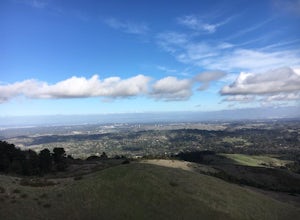
Hike the Windy Hill Loop
Portola Valley, California
4.3
7.2 mi
/ 1400 ft gain
This 7.2-mile loop starts by heading out of the parking lot and onto the Spring Ridge Trail. Head Southeast On Spring Ridge Trail until you connect with Hamms Gulch Trail. When you jump on Hamms Gulch, head southwest for ~3.4 miles as you circle the far end of the OSP. At this point, you will connect with the Lost Trail. Head west on the Lost Trail until it connects with the Anniversary Trail, ...
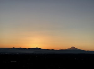
Catch the Sunrise from Rocky Butte
Portland, Oregon
4.2
Joseph Wood Hill Park is another under the radar gem right in the heart of the city. It’s located on Rocky Butte, an extinct volcanic cylinder cone, and provides sweeping panoramic view of Portland and beyond. Accessing the park is easy – you can drive directly there and parking is plentiful.Plan to arrive about an hour before sunrise, and give yourself plenty of time to set up your camera and ...
MTB on Phil's Trail Single Track
Bend, Oregon
5.0
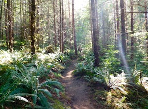
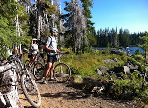
The Phil's Area Trail System is the go-to trail system for mountain biking in Bend. Even the other trails in the region that aren't actually part of the Phil's Trail System feed into or connect to trails that feed into Phil's.According to the locals, the boundaries of the Phil's Area Trail System are a square comprised of Skyliners Road to the north, Highway 46 (Cascade Lakes Scenic Byway) to t...
Paddle Around Ross Island
Portland, Oregon
5.0
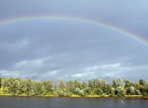
This is a great little adventure for those looking to get on the water, but who don’t have time to escape the city. Paddle the loop around Ross Island for a scenic workout and a relaxing picnic.To begin your loop, put-in at Sellwood Riverfront Park – it features easy parking and sandy beach at almost every water level. As you make your way over to Ross Island, keep an eye out for eagles, blue h...
MTB the Crater Rim Trail
La Pine, Oregon
Paulina Peak with an elevation of 7,984 feet, and is about 4,000 feet higher than the terrain surrounding the volcano. There is a gravel fire road that winds to the top. This is a grueling climb with an 8000 foot elevation. Air please!The trail head starts about 1000 feet from the peak. It is a pretty tight singletrack for approximately 19 miles. The end of the trail dumps you right in the park...
Community
© 2023 The Outbound Collective - Terms of Use - Privacy Policy

