Katch Silva
Canopy, Panoramic, Redwood Trail, Sun, Dipsea Trail Loop
Mill Valley, California
4.7
4.31 mi
/ 1145 ft gain
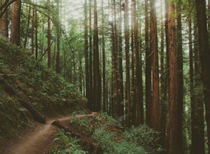
While there are other, less crowded redwood groves in the Bay Area, Muir Woods National Monument is easily one of the best. It is a beautifully maintained site, with wooden footpaths meandering between towering redwoods that are between 600 – 800 years old. It’s home to some true giants, with its tallest trees reaching over 250 ft in height.
Muir Woods contains 6 miles of trails (see trail map...
Hike the Andrew Molera State Park Loop
Big Sur, California
4.5
8.8 mi
/ 1100 ft gain
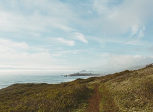
The loops starts at the Andrew Molera State Park parking lot (4.5 miles north of the entrance to Pfeiffer Big Sur State Park along Highway 1). Begin by crossing the Big Sur River using the seasonal bridge. If the bridge has been removed, you will need to cross the water by foot. Usually the water level is below the knee and perfectly safe to cross but if you want to be sure you can ask a Park R...
Dawson Pass
East Glacier Park, Montana
5.0
12.01 mi
/ 2450 ft gain
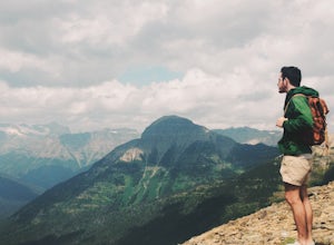
This is a somewhat strenuous but extremely rewarding hike in Glacier National Park. It is much less crowded than the more popular Logan Pass and High Line trails, and in my opinion, more rewarding.
Dawson Pass is on the Continental Divide at an elevation of 7,598 feet. It sits between Mt. Helen and Flinsch Peak. You will get amazing panoramic views of Glacier National Park, but be prepared for...
Hike Mt. Tammany via Red Dot Trail
Columbia, New Jersey
4.6
2.3 mi
/ 1115 ft gain
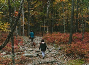
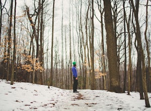
This is a short but strenuous hike to a bluff overlooking the Delaware River and surrounding mountains and hills. The summit makes a good spot for a picnic or just for relaxing and watching the sunset. The entire hike also has plenty of beautiful photo ops, especially in the Fall.
Find the trailhead by the entrance to the parking lot, you will be following the Tammany Trail (also known as the R...
Hike Valley Forge
Malvern, Pennsylvania
3.9
2.5 mi
There are many trails to choose from on Mt. Misery and a good place to start is at the parking lot located at the intersection of Yellow Springs Road and Library Lane (off of the main Valley Creek Road).The Mt. Misery Trail starts there, heads up through the trees about 0.75 miles and meets up with Horse-shoe Trail. Take the Horse-shoe Trail to the right for 0.6 miles until it meets Valley Cree...
Explore the Algodones Sand Dunes
Brawley, California
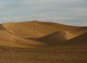
The North Algodones Dunes Wilderness System offers 200 square miles of open dune wilderness to explore. You can do as little or as much as you want in this vast open space. Take a short hike, take lots of pictures, or make it an overnight camping trip in the desert.The dunes are located north of State Highway 78, from the east side of Coachella Canal to Glamis. You can park at the Orborne Looko...
Besseggen Ridge
Vågå, Norway
3.0
9.66 mi
/ 3212 ft gain
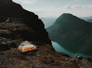
To make this point-to-point trail a loop, you'll need to take a ferry as either the first leg of your trip, or the last leg. You can hike from Gjendesheim to Memurubu, and take the ferry back to Gjendesheim, or the other way around. The hike from Gjendesheim to Memurubu is 8 miles. You can turn it into a there-and-back hike to make it twice that long. But I recommend a ferry.
What we did, and ...
Hike to Summit of Mount Aeneas
Kalispell, Montana
4.8
6 mi
/ 1700 ft gain
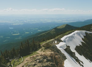
This hike can easily be overlooked since it is in such a geographically rich area, with Glacier National Park and the Bob Marshall Wilderness so close, but it is absolutely a hidden gem that doesn't get enough attention. Mount Aeneas sits at just over 7,500 feet and from the summit it gives amazing 360 degree views of Glacier National Park, the Bob Marshall Wilderness, Flathead Valley, and Hung...
Community
© 2023 The Outbound Collective - Terms of Use - Privacy Policy

