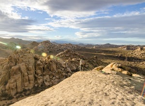
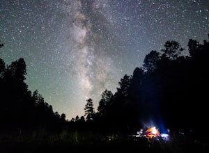
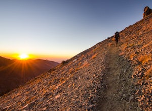
Watch the Sunset from Echo Rock
Twentynine Palms, California
5.0
0.5 mi
/ 200 ft gain
Park your car at the Echo Rock Parking Area. The trail starts next to the outhouse and heads north. As you walk through the sand, there is a large rock pile to your right, the top of that is your destination. Continue walking until you've reached the far north end of the rock formation and then turn right and walk along the northern end of the pile until you find a good spot to start your sc...
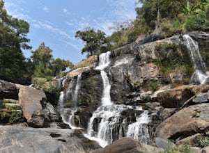
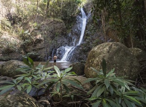
Hike to Waterfalls in Doi Inthanon National Park
Tambon Ban Luang, Thailand
2 mi
To get to Doi Inthanon National Park drive south from Chiang Mai on the 108. I suggest leaving Chiang Mai around 6am because this will allow you to beat the crowds and finish off the day before dark. Continue on this road for about 55km- until you see the sign to turn off to Doi Inthanon. This will be a right hand turn at the light, just past a large gas station. The road you are now on is ...
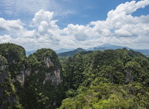
Explore the Tiger Cave Temple
Krabi Noi, Thailand
1 mi
/ 800 ft gain
From Krabi Town, take a taxi (or motorbike) to the Tiger Cave Temple parking area. We hired a taxi and for 100baht round trip he took us there, waited while we explored, and then drove us back. Make sure to wear appropriate clothing as well. This entire area is a temple, which means you need to dress modestly (shoulder and knees covered).
Once at the parking lot, you will then walk towards ...
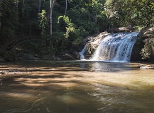
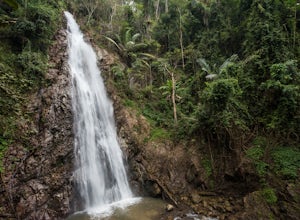
Hike Mae Sa Waterfall
Tambon Mae Raem, Thailand
1.9 mi
To get there take the 107 north out of Chiang Mai until you get to the left turn onto 1096 (there are signs for Mae Sa Waterfall at the junction as well). Continue on 1096 until you see the left hand turn into Doi Suthep National Park and the entrance for the waterfall.
Because this waterfall is in a national park, it will cost you 100baht per person to enter along with an additional fee for t...
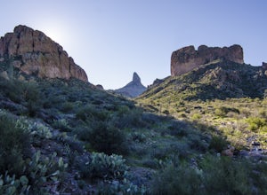
Hike the Dutchman's Second Canyon Loop
Apache Junction, Arizona
5.0
16 mi
To get to the trail head, drive past Lost Dutchman State Park on the 88 and then take the dirt road (on your right) with arrows leading you to First Water Trail Head. There is an outhouse at the trailhead, so I suggest visiting it before you begin this hike. I also started this hike about an hour before sunrise, so I could be on the trail as the sun was coming out from the horizon- I highly s...
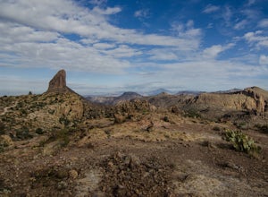
Fremont Saddle via Peralta Canyon Trail
Gold Canyon, Arizona
4.7
4.53 mi
/ 1378 ft gain
After taking Peralta Road all the way to the end, park your car in the parking lot and you'll see the sign for the trail head. Sign in at the register and then begin our hike on Peralta Trail.
This trail winds through the canyon and then takes you up switch backs until you reach the saddle. The breath-taking view of Weavers Needle may convince you to stop here for the day, but I suggest going ...
Hike to Khun Korn Waterfall
Tambon Huai Chomphu, Thailand
1.9 mi
To get to the trail from Chiang Rai, head south on the 1 out of downtown Chiang Rai. At the White Temple, turn right onto the 1208. Continue following the 1208 until it veers left and turns into the 1384. The parking area is at the end of this road, and you will see signs for Khun Korn Forest Park along the way.
(We took a songthaew- truck taxi- from Downtown Chiang Rai. The driver took us t...
Hike to Mae Yen Waterfall
Tambon Mae Hi, Thailand
9 mi
The trail is best reached via Motorbike from downtown Pai. The trailhead is located just 3km north east of downtown. You will follow the road until it turns into dirt, and then continue on this dirt path until you reach a parking area right next to the river (and the first stream crossing you will make). Park your motorbike, and get ready for the fun hike ahead.
As mentioned you will start t...
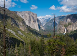
Backpack Yosemite's South Rim
Mariposa County, California
5.0
18 mi
/ 2800 ft gain
Step 1: Get Wilderness Permit from the Wilderness Office the day before! Permits are free and required.
This trail is a Point-to-Point trail so make sure you have a shuttle situation figured out (or you can always hitch hike). The best option is to get dropped off at Tunnel View so that you don't have to find parking or find a way to get your car after the hike.
I would also suggest starting i...
Hike the Ypsilon Lake Trail
Estes Park, Colorado
5.0
8.38 mi
/ 2000 ft gain
To get to the trailhead, enter Rocky Mountain National Park on the 36. Keep right at the fork with the 34 and then you'll take your next left and the parking for the trailhead is the first parking area on your right. There is an outhouse at the trailhead too, so if you need to take a pit stop before beginning your hike this is a great place to do so.
Once on the trail you will begin the slow...
Photograph the Royal Twin Pagodas
Tambon Ban Luang, Thailand
4.0
The pagodas are located inside Doi Inthanon National Park and are a must see as part of your day in the national park. You can combine them with Hike to Waterfalls in Doi Inthanon National Park for a perfect full day.
To get to them, drive south from Chiang Mai on the 108. Continue on this road for about 55km- until you see the sign to turn off to Doi Inthanon. This will be a right hand tu...
Snowshoe to Longmire Lookout
Ashford, Washington
4.1 mi
/ 800 ft gain
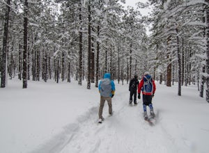
Starting at the Longmire Trailhead, cross the road and begin snowshoeing counter-clockwise on the Trail of Shadows. This first 0.5 miles begins the hike as a nice warm up where you can make sure your snowshoes are adjusted properly and stop from time to time to learn some facts from the interpretive displays.Then you will reach a junction with the Rampart Ridge Trail. The trail sign indicates...
Snowshoe to Snow Creek
Yosemite Valley, California
5.0
10.98 mi
/ 2700 ft gain
Take the Valley shuttle to Mirror Lake Trailhead where you will begin your hike.
After a flat 2 miles, you will begin the steep three miles up to snow creek as you take one switch back after the next. This steep climb will reward you with beautiful views of Tenaya Canyon and give you a different perspective on the classic Half Dome view.
Once you reach the top of the switchbacks, snow will w...
Snowshoe at the Arizona Nordic Village
Flagstaff, Arizona
2.5 mi
To get to the Nordic Village from Flagstaff, just take the 180 North until you see the signs for the Nordic Village (on your right).Once at the Nordic Village, go inside the entrance building to buy your day pass ($10 for a snowshoeing day pass) and rent your gear. Feel free to bring your own snowshoes (or cross country skis), but if you don't have your own gear, don't fear, the Nordic center ...
Cabin Loop Trail
Payson, Arizona
18.82 mi
/ 2028 ft gain
People think Arizona is all just desert, but this hike will show you otherwise. Up on the Mogollon Rim, this trail takes you past old cabins, through lush forest, and near many creeks.
Day 1: (10 miles)
Drive on Rim Road to the General Springs Trail Head. The cabin marks the start of the trail, which also happens to be part of the Arizona Trail. This section of the trail is also called th...
Sunrise Hike at Phu Chi Fa
Tambon Tap Tao, Thailand
2 mi
/ 800 ft gain
This adventure makes a great pair with Doi Pha Tang.
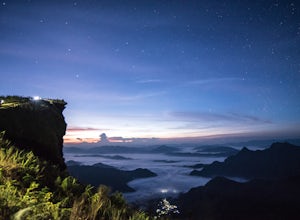
Having your own mode of transportation is the best option, but there are options for a van from Chiang Rai and then songthaews from the main town area. As far as accommodations go, you can either get a guesthouse or stay in a tent. Lots of options to chose from, and most cannot be booked in advanced, but we had great luck with just showing ...
Kayak to Lady Bowen Falls in Milford Sound
Milford Sound, New Zealand
4.5
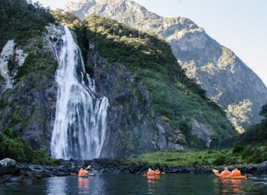
There are multiple options for getting to Milford Sound. If you have a car and can drive, then just take the Milford Sound Highway from Te Anau, and once you get to the end of the road and see all the big boats, just park your car and get ready for some fun in the water. If you don't have your own car, have no fear, public transportation in New Zealand is great! From Te Anau or Queenstown, t...
Hieroglyphic Trail
Gold Canyon, Arizona
5.0
2.9 mi
/ 614 ft gain
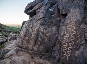
This hike is a great beginner hike for those who want to experience the beauty of the Superstitions. I suggest going early in the morning because this trail gets very crowded later in the day (especially on weekends).
To get to the trailhead from US60, turn north onto Kings Ranch Road where you will begin the winding path through the neighborhoods. From Kings Ranch Road, turn east on Baseline...
Peak 5057 via Hieroglyphic Trail
Gold Canyon, Arizona
7.45 mi
/ 3045 ft gain
To get to the trailhead from US60, turn north onto Kings Ranch Road where you will begin the winding path through the neighborhoods. From Kings Ranch Road, turn east on Baseline Ave, north on Mohican Road, west on Valley View Drive, north on Whitetail Road, and east on Cloudview Ave until it comes to a dead end at the trailhead parking lot.
Once at the trailhead, start out on the trail throug...
Hike Picketpost Mountain
Superior, Arizona
4.7
4.4 mi
/ 2200 ft gain
From the parking lot you will start out on the Arizona Trail until you reach the turn off to begin your accent up the mountain. This part of the trail isn't well maintained, and is a scramble, so be ready to use those hands. The trail is marked with cairns though and there is enough traffic that a pretty clearly defined trail can be seen over the boulders.Once you have finished the 2,200ft cl...
Catch the Sunset at Doi Pha Tang
Tambon Po, Thailand
1 mi
/ 500 ft gain
The best way to experience Doi Pha Tang (a great paired adventure with Phu Chi Fa) is with your own transportation (either a car or motorbike). It allows you to experience the area on your own schedule leaving plenty of time for relaxing as you take in the beautiful landscapes.
Doi Pha Tang is west of Chiang Rai, on the Thailand-Laos border. The area is very mountainous and you will be drivin...
Backpack the Little Five & Big Five Lakes Loop
Three Rivers, California
5.0
26.5 mi
/ 10000 ft gain
Day 1: A long, rewarding day. Over the course of 11.5 miles you will complete around 10,000ft of elevation change. To start, park the car at the Sawtooth-Monarch Trailhead (7500ft) and begin on the trail, immediately ascending to Timber Gap (9500ft). Once at the gap, the trail makes it's way down in to a Valley as it follows a series of endless switchbacks. After crossing creek, you will beg...
Watch the Sunset in El Capitan Meadow
Yosemite Village, California
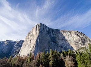
After entering the park, keep driving the loop until you get onto Northside Drive, and then park once you are right below El Capitan (the 3,000ft granite monolith that is very hard to miss).Once you've parked, grab a blanket, snacks, and a beverage. With these items in hand, walk over to the eastern side of the meadow and stay on the designated path that goes past the fences and into the meado...
Ride the Peak to Peak Gondola
Whistler, British Columbia
4.8
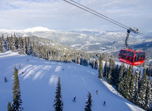
From Whistler Village, purchase your Peak to Peak ticket at the main ticket booth (where you can also purchase ski passes and such). This ticket is good for one ride up the mountain, but then you can stay up there as long as you'd like.Once you have your ticket, head over to the Whistler Gondola and be prepared to wait in line. The Whistler Gondola is about a 20 minute ride to the top. Once ...
Community
© 2023 The Outbound Collective - Terms of Use - Privacy Policy

