Jenna Mulligan
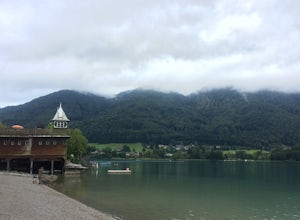
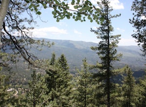
Summit Mt Schober
Fuschl am See, Austria
4.3 mi
/ 1968.5 ft gain
From Salzburg, find transportation to the lakeside town of Fuschl am See. You can catch Bus 150 from the main railway station, and pay roughly 5 euros for a 30 minute ride to the town. This bus lets you off on the small highway, and you'll see you route to descend into town.
Walk to the north end of the small village, where you will find a meandering dirt path and signs to Mt Schober and Bergru...
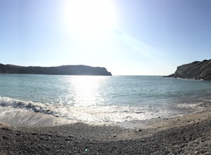
Hike the Southwest Coast Path: Kimmeridge to Lulworth Cove
Dorset, United Kingdom
7.8 mi
/ 1654 ft gain
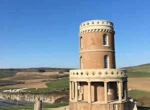
There is plenty of parking options at Kimmeridge Bay, which is located just a mile from the village of Kimmeridge. Follow signs for the SW Coastal Path on the west side of the parking lot, and head away from the Clavell Tower on the opposite side of the bay.
You'll soon pass an old (but still functioning) oil pump and reach the base of a sharp incline up your first hill. The path will become le...
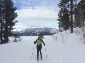
Cross country Ski around Vallecito Lake
Bayfield, Colorado
Drive north from Durango on Florida Rd, following signs to Lemon and Vallecito Reservoirs. Florida Road will turn into County Road 250. Follow this for 15 miles out of town until you reach County Road 501 - make a left turn here.
Soon, you'll reach the dam. Turn right to begin driving around the lake in a counter-clockwise direction. This dirt (or snow-covered) road will lead you to a small pa...
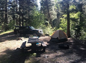
Camp at Cuchillo del Medio
Arroyo Seco, New Mexico
Drive towards the Taos ski area, passing through Arroyo Seco on NM-150 North. Four miles up this road, the Cuchillo del Medio campsites will be on the southeast side of the road.
There are two sections of campsites, with side-by-side entrances. (Note: the southern section is currently closed due to tree-fall concerns).
At the north section, there is one pit toilet and room for four different gr...
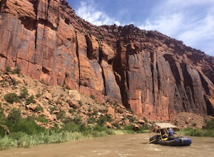
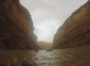
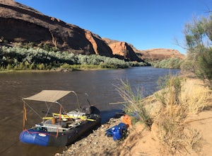
Raft the Dolores River
Egnar, Colorado
On years with enough moisture and runoff, kayakers, rafters, tubers and SUP-ers all take to the Dolores River.
This section of water from Slick Rock to Bed Rock provides a two night, three day float through red canyon walls, meandering bends in the river, a a few notable side canyons.
The water levels of the Dolores River are reactive to releases from McPhee Dam, which often means that the rive...
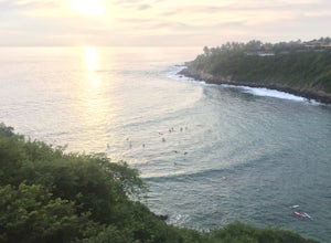
Surf at Puerto Escondido
Brisas de Zicatela, Mexico
There are two great surfing beaches in the main center of Puerto Escondido, offering very different levels of waves.
The first, Playa Carazilillo, is perfect for beginners. It is near to a section of town called Rincon - and this is a very easy place to find a surf instructor if you need.
There is a long staircase leading down to the beach, the one way in and out of this cove. This feels a lot ...
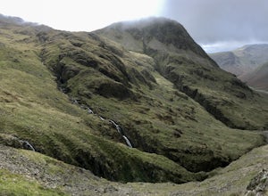
Hike Scaffel Pike via Styhead Tarn
Cumbria, United Kingdom
9.2 mi
/ 2949 ft gain
This route begins in Seathwaite, which is mostly characterized by a car park and the Seathwaite farmyard, which you will cross through (on the road) to reach the start of the dirt trail. Walk the road south-bound through the valley for 0.8 miles, and cross the stone footbridge here - Stockley Bridge. The river you've just crossed is the River Derwent.
The path rises steadily here and arcs above...
Explore Sand Canyon Pueblo
Cortez, Colorado
0.8 mi
The Sand Canyon Pueblo marks the northern point of the Canyon of the Ancients National Monument, and connects south to the start of the Canyon of the Ancients Trail off Road G.
The hike from the parking lot nearest to the pueblo is only 0.8 miles, and is reached on Road N, west of Cortez, Colorado. From the southern start of Sand Canyon Trail, reaching this pueblo is a 12.4 mile round-trip hike...
Raft the Lower San Juan River
Mexican Hat, Utah
The put-in for the lower segment of the San Juan river is in the center of Mexican Hat. This is a permitted section of river run by a lottery, and you work to secure a permit through https://www.recreation.gov/permits/250986
Briefly after take off, the canyon walls begin to climb taller above the river, marking the entrance into Gooseneck State Park. Far from the rim, you're likely to see a num...
Raft the Upper San Juan
Bluff, Utah
The "Upper" San Juan is about 27 miles of river, and can be completed in a 2-4 day float. It is a permitted river, and trips launching between April 15 - July 15 obtain permits through a lottery draw negotiated on https://www.recreation.gov/. Applications for this lottery are accepted through the December and January preceding the trip.
The maximum number of people on one permit group is 25, an...
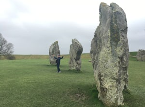
Explore the Avebury Stones
Avebury, United Kingdom
1 mi
The Avebury Stones are a short distance from Bath in southwestern England. Exploring them only requires a short distance of walking, but rewards with views of the surrounding rural setting and a number of historic fixtures of this area.
From Bath, drive, bus, or taxi to the village of Avebury. This small town surrounds and focuses on the stone circles as well as their mysterious past. A small ...
Hike Embudito Canyon
Albuquerque, New Mexico
4.0
4.2 mi
/ 1204 ft gain
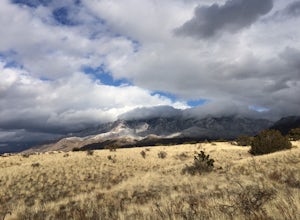
This is a hiking area in the foothills of the Sandia Mountains. This route is a 3.9 mile heavily trafficked loop up Oso Ridge and down Embudito Canyon.
There is plenty of room to park at the Embudito Trail Trail head, on the eastern side of Albuquerque. From the parking lot, take the center trail that heads directly east. After 0.1 miles, this will crossover another path running north to south...
Camp at the Alamo Canyon Campground
Ajo, Arizona
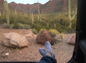
The Alamo Canyon campground is the closest campsite to the northern entrance of Organ Pipe National Monument, but this monument near Ajo, Arizona remains only lightly trafficked.
Organ Pipe cacti dominate the landscape, but hikers and campers can enjoy a variety of lizards, birds and other wildlife sightings in the area.
Alamo Canyon is accessed by driving 12.3 miles south from the town of Why ...
Mountain Bike in Dalla Mountain Park
Durango, Colorado
4 mi
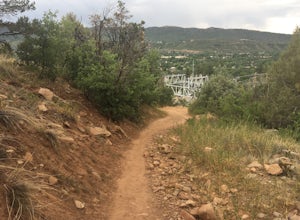
The Dalla Park shares a trailhead and parking lot with the Animas Mountain trail, frequently used for hiking and trail running. There is plenty of room in this lot, as well as several picnic tables.
Immediately after crossing through the gate, the trail divides. The bike park takes up the south and south-eastern faces of the hill, but it's best to climb up the more moderate grade of the switchb...
Hike the First Fork/Red Creek Loop
Durango, Colorado
9.8 mi
/ 2195 ft gain
Leaving from Durango, head north on Florida Road/CR 240. From the intersection with County Road 250 (the last stoplight), drive about 8 miles until you reach Colvig Summer Camp. Turn northwest here. The road will soon narrow and turn to dirt - continue straight. 1 mile further, there will be a large gate. You can either park your vehicle here or continue through the gate, closing it behind you ...
Explore Hierve El Agua
Oaxaca de Juárez, Mexico
4 mi
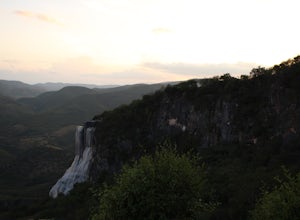
This site is a short drive from the capital city of Oaxaca state, Oaxaca de Juarez. You can hire a driver or take a combination of collectivos, first to the town of Mitla, and then further to the Hierve el Agua springs.
The driver will drop you in a large parking lot after you pay an entrance fee of 25 pesos ($1.50). Also on site are many food stands serving memelas and other Oaxacan traditio...
Hike Goulding Creek
Durango, Colorado
4.0
5.9 mi
/ 2122 ft gain
This trailhead is only about 15 miles from Durango on Highway 550. Look out for Glacier Club/Tamarron on your right, and soon after (about a mile) there is a small dirt turn-off on the opposite side of the highway. There is one other turn off on the west side of the highway in this stretch, but it's paved! Pass that and look for dirt.
Once on the dirt road, you should see a small wooden sign fo...
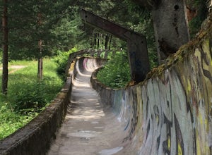
Hike to Sarajevo's abandoned Olympic Bobsled Tracks
Sarajevo, Bosnia and Herzegovina
3.7 mi
/ 1072.8 ft gain
Start on the south side of the river in Sarajevo, near to the Sarajevo Brewery, and walk upward through the varied cobblestone streets of the neighborhood until you reach the GPS tag of this post.
From here, follow the street labeled on the map as Apelova Cesta. It won't be clearly marked on the road, but once you've begun walking up this road, you'll cross out of the dense neighborhoods, and o...
Canoe to Upper Priest Lake
Coolin, Idaho
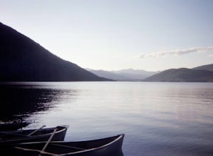
The Priest Lakes of Northern Idaho are perfect for a summer retreat into the Selkirk mountains, less than thirty miles from the border with Canada.
Priest lake is separated from Upper Priest Lake by a short, two-mile waterway. Launch your canoe from the Lionhead Beach in Priest Lake State Park and paddle to the north end of this 23,000 hectare lake. If you aren't towing along your own canoe, yo...
Hike Colombine Trail
Red River, New Mexico
8.5 mi
/ 1935 ft gain
This moderate trail is accessed from the Columbine campground on Highway 38. It will be on your right side when traveling east from Questa.
Drive to the back end of the campground, where there are several spaces for parking. The moderate version of this hike will travel about 4 miles south into the Carson National Forest, following the canyon and crossing the creek several times.
The trail is w...
Hike the Southwest Coast Path from Swanage to Kimmeridge Bay
Dorset, United Kingdom
15 mi
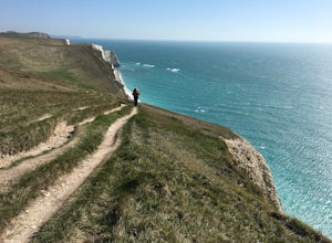
Beginning at Peveril Point on the southwest edge of Swanage Bay, follow signs for the SW Coastal Path. This path is direct and easy to follow, but there are many sights and stops along the way to Kimmeridge.
After just less than 2 miles, you'll reach your first noteworthy landmark - the Anvil Point Lighthouse. This lighthouse was completed in the late 19th century, and is available for rent if...
Hike the Gap of Dunloe
Beaufort, Ireland
5.0
7.15 mi
/ 1142 ft gain
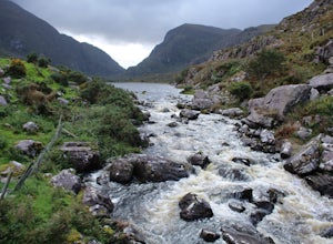
Hiking this renowned trail can be done in several ways, extending this journey into an out-and-back route or shortening it to only a portion of the trail. The route I can suggest begins at Lord Brandon's Tea Room on the shores of the Upper Lake, and ends at Kate Kearney's Cottage just over 7 miles later.
But preceding the hike, you'll ride across an expansive landscape of mountainous lakes for ...
Visit the Jemez Soda Dam
Jemez Springs, New Mexico
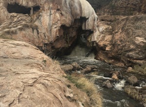
For the past 7,000 years, calcium carbonate at this spot in northern New Mexico. And after all those centuries, it has formed into a natural bridge across the Jemez river, roughly 300 feet in length.
Drive northeast from Jemez Springs on New Mexico State Route 4. Just under 2 miles later, the formation is on the right side of the road, but parking is immediately following on the left side. Tak...
Hike the Southwest Coast Path from Lulworth Cove to Weymouth
Dorset, United Kingdom
11.1 mi
Departing from the car park at Lulworth Cove, there is only a short section of uphill trail before you reach the Durdle Door trailer park and parking lot. Your mile-long warm up will wear off at this point because you'll have to spend some time gazing at Durdle Door, an erosion-created arch in the sea, and reading various plaques about the areas history and creation.
The SW Coastal Path continu...
Community
© 2023 The Outbound Collective - Terms of Use - Privacy Policy

