Camp and Surf Jalama Beach
Lompoc, California
4.3
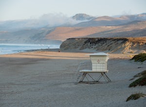
Take the 101 North out of LA and follow it till it meets back up with the 1 just south of Lompoc where you make a left turn onto Jalama Rd. If you forgot supplies, continue to Lompoc where you can buy whatever you need.Follow the winding road all the way to the beach, where your only option is the campground. The Jalama Beach Store is known for its burger, so stop in during dining hours for a b...
Off-Road to McIver's Cabin
Kern County, California
5.0
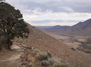
A little over 2 hours north of LA on Highway 14, there is an abrupt turnoff for Horse Canyon Road, which is also SC65. Just a few hundred meters off the 14 there is a large map which you continue straight by and follow SC65 for about 7 miles, along relatively flat dirt roads. The trail does become too intense for non 4x4 cars, so do not attempt without a proper vehicle.Once you see the signs ...
Relax at the Saline Warm Springs
Inyo, California
5.0
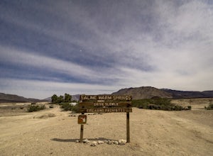
Starting from Panamint Springs, you can top off your gas levels (Stovepipe Wells is cheaper), and continue west on the 190 until you hit the Saline Valley Alt Route. It begins as a well maintained dirt road, but worsens as you continue into the valley. Take your time down the 45 mile road and beware the washouts till you reach the right turn to head East towards the springs. Once you're an addi...
Hike into Titus Canyon
Inyo County, California
8 mi
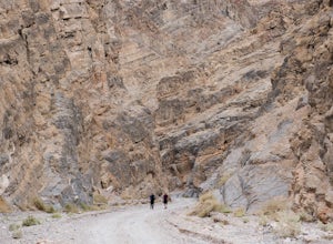
In total its about 22 miles from Stovepipe Wells. From Stovepipe, head east on the 190 and make the left for Scotty's Castle Rd. Continue another 19 miles down until you can turn off onto the dirt track that leads to Titus Canyon. When you arrive in the parking lot, you'll see Do Not Enter signs, but that is just for your vehicle. You can park and walk as far up into the canyon as you please, a...
Surf in Baja Norte
Rosarito Beach Municipality, Mexico
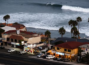
Hit an ATM before crossing the border, then take the 1 down the coast past Tijuana and into Rosarito. Make sure to pack the wallet with singles and nickels to pay the $2.05 at each booth.Make your way down to K38 where you can have your pick of beach, point, or reef break. Robert's turnoff from the highway looks like you're running off the road, but the gravel will lead you under the overpass...
Fly Fish the Kern River above the Johnsondale Bridge
Camp Nelson, California
5.0
4 mi
/ 100 ft gain
Check in at the local fly fishing shop in Kernville to check the latest status, then continue up the 20 mile stretch of Mountain Hwy 99 until you cross the Johnsondale Bridge. Park, pack, then begin your 30-45 minute hike up the trail before setting your rod.After you're finished, stop by the Kern River Brewing Company for a hot meal and a cold beer.
Sunrise Lakes to Clouds Rest
Mariposa County, California
4.7
18.93 mi
/ 1775 ft gain
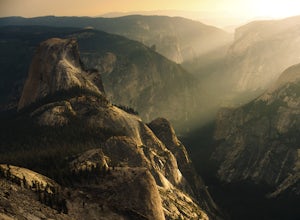
Start out at the Tenaya Lake Trailhead, where you can head directly onto the trail for Clouds Rest or you can branch off after 2.7 miles to Sunrise Lakes. This allows you to break up the hike, spend a night relaxing and help you have an early start back on the trail.
Once re-connected to the Clouds Rest trail you begin a brief descent before you come across the only lake on the CR Trail. You d...
Camp at Montaña de Oro State Park
San Luis Obispo County, California
5.0
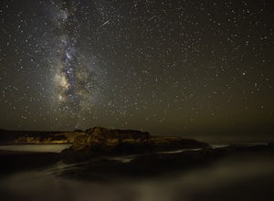
Located about 7 miles south of Morrow Bay, follow Los Osos Valley Rd into the state park. Watch for the signs to park, as you will be cited after 10pm.The campground is located just across the road from the famous Spooner's cove, but there are any number of trails and hikes you can enjoy (check out the Bluff Trail or Valencia Peak, which stands at 1,347 ft and overlooks everything including Mo...
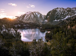
Fourth Lake via Big Pine Creek North Fork Trail
Big Pine, California
4.0
12.6 mi
/ 3205 ft gain
From Big Pine, you'll turn onto Crocker St. to head towards the mountains. Once you are about 11 miles down the road you will see a sign and a turnoff on the right for trailhead parking. That is where you are going to want to park if you are staying overnight but you can continue to where the road dead-ends if you are just doing a day hike. There are bear boxes their to store anything extra you...
Beach Hike to Point Conception Lighthouse
Lompoc, California
4.0
10 mi
/ 100 ft gain
It must be approaching low tide to complete this hike!
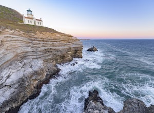
This hike begins at the Jalama Beach Campground. Head out on the beach a couple hours before low tide and follow it until you reach the lighthouse. It is important to note that the land above the high-tide line, the top of the cliffs and the lighthouse itself are located on private property and not accessible to the public.
Climb the Third Pillar of Dana
Lee Vining, California
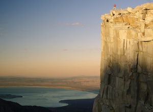
From Highway 120 (Tioga Road) you can park at the lot just above Tioga Lake. Another mile up the road is the Yosemite entrance, so if you hit that, you've gone too far. Follow the trail around the south side of the lake and into Glacier Canyon. After about 2 miles you'll start scrambling on the NE side of the canyon to the Dana Plateau. Cairns should mark the way. Once on the Plateau head east ...
Community
© 2023 The Outbound Collective - Terms of Use - Privacy Policy

