Emily Noyd
Wilderness ranger in Yosemite National Park. Raised by Washington mountains and Puget Sound islands. I live for sunrise, backcountry cooking, climbing, roadtrips, and coffee.
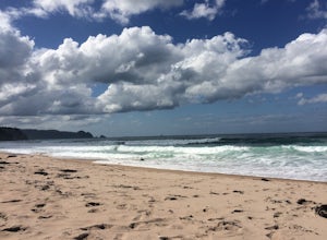
Surf at Tairua Beach
Tairua, New Zealand
4.0
Tairua Beach offers a few pristine miles of turquoise waves and plenty of opportunities to enjoy the east coast of the North Island without the crowds. It's ideal for swimming, surfing, and body surfing. The waves are mellow enough for beginners and it's a perfect spot to surf at sunrise or sunset.
These are beach break waves, typically 150 ft in length, with a sandy bottom. The swell is east,...
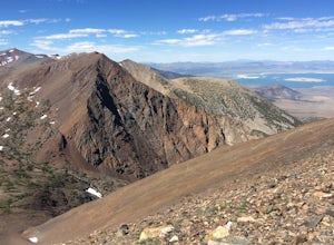
Backpack over Koip Peak Pass
Tuolumne County, California
19 mi
/ 2500 ft gain
This trip begins in Yosemite National Park and can be completed as an out-and-back or by hiking one-way to the Ansel Adams Wilderness and exiting at Silver Lake on the east side of the mountains. Start at the Mono/Parker Pass trailhead, a few miles past Tuolumne Meadows. Don't forget to make a permit reservation or get a walk-up permit in Tuolumne the day of your trip or the day before at 11 am...
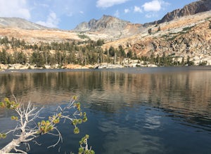
Backpack to Lower Ottoway Lake
Mariposa County, California
32 mi
/ 2400 ft gain
The hike begins at Mono Meadows trailhead along Glacier Point Road, first descending 2.8 steep miles to Illilouette Creek. Above the Illilouette Junction, take in views of the Valley's granite domes before beginning the post-burn forested slog. The trail covers an additional 10 miles of relatively ho-hum trail, skirting the epic Mount Starr King and gaining elevation slowly but surely. This sec...
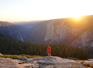
Sentinel Dome Trail
Mariposa County, California
5.0
2.15 mi
/ 400 ft gain
One of the most popular places in Yosemite for sunset is Glacier Point, but by walking one mile from the trailhead, the crowds quickly dissipate. Sentinel Dome is great for all ages since the trail is short and not too steep. Park at the Sentinel Dome trailhead, about 3 miles from the end of Glacier Point Road. The trail is one mile, one-way. For the best timing, leave the trailhead at least on...
Hike to Mt. Hoffman
Mariposa County, California
6 mi
/ 2140 ft gain
The May Lake trailhead is at the end of a 2 mile unpaved road leading north from Tioga Road. The trailhead has pit toilets and bear lockers. (Please be sure to store any food, garbage, scented items, and empty coolers in these lockers while hiking!)
After hiking an easy 1.3 miles, you'll arrive at May Lake, nestled at the base of Mt. Hoffman and the site of a seasonal High Sierra Camp. There's...
Backpack to Nelson Lake
Tuolumne County, California
17 mi
/ 1000 ft gain
Head to any Yosemite wilderness station for a map, bear canister, and permit for Nelson Lake. The trail itself starts in the Tuolumne Campground at Elizabeth Lake trailhead. Follow the trail 2.2 miles up to Elizabeth Lake and remember the lake itself is in a no-camping zone, so you must continue before setting up camp. Continue off trail following Unicorn Creek south to a small pass between Joh...
Hike to Monogram Lake
Marblemount, Washington
9.8 mi
/ 4500 ft gain
On a drizzly day, we set out to patrol Monogram Lake. Sore legs and thousands of feet later, we had the pristine lake all to ourselves with gorgeous fall weather and peek-a-boo views of the North Cascades.From Highway 20 in Marblemount, take Cascade River Road for 7 miles and look for a small parking pullout on the right. The trailhead is across the street, heading north from the road. Primaril...
Hike to Tuolumne Peak Plateau
Mariposa County, California
11.7 mi
/ 1800 ft gain
The most direct route begins at Murphy Creek trailhead, on the north side of Tioga Road near Tenaya Lake. Walk north on Murphy Creek trail for 2.5 miles with minimal elevation gain. Polly Dome Lakes are a great side trip via the social trail on the right side of the trail before the first junction. (Camping there is allowed, with a wilderness permit.) The trail continues to Glen Aulin, but turn...
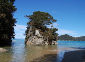
Kayak Camp Abel Tasman NP
Marahau, New Zealand
23 mi
/ 328 ft gain
This beautiful national park can be explored by boat and/or by foot, so we decided to incorporate both before catching a jet boat back to Marahau. The entire coastal track is almost 50 km one-way without side trips, and the coastline can also be done entirely by kayak. Before arriving in Marahau, we arranged kayak rentals and camping reservations at the visitor center in Motueka.Day 1We launche...
Hike to Cutthroat Pass
Winthrop, Washington
11 mi
/ 2300 ft gain
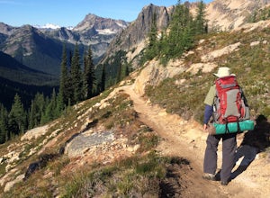
Looking for a distinctive high-country hike just east of the pass? Cutthroat Pass is a hearty day hike perfect for gaining elevation and views with every step. It's even more dynamic as a point-to-point, exiting via the Pacific Crest Trail if you have two vehicles. Also great for a one-night backpacking trip, with possible extension for 2+ nights by heading north on the PCT.For the basic out-an...
Community
© 2023 The Outbound Collective - Terms of Use - Privacy Policy

