Julien Bacal
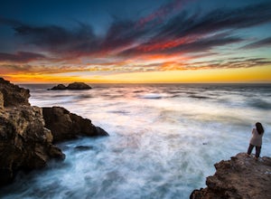
Lands End Trail
San Francisco, California
4.7
3.26 mi
/ 500 ft gain
Background
The Lands End Trail in the Golden Gate National Recreation Area is a fairly easy 3.26 mile out-and-back hike along the coastline of San Francisco. Entrances to the trail are at both the Visitor Center parking Lot just up from Cliff House or in the Sea Cliff neighborhood off of El Camino del Mar (near the Lincoln Golf Course and Legion of Honor).
When to Visit
Be sure to arrive at...
Mount Sutro Open Space Reserve Loop
San Francisco, California
4.4
2.14 mi
/ 617 ft gain
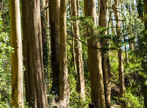
The Mount Sutro Open Space hike is one of those gems that's just hiding in plain site. Most people live in San Francisco for years without ever knowing this hike even exists - which is totally fine with us. This 2+ mile loop is an easy, quick way to get back in touch with nature after a long day. As you'll see once you begin making your way towards to top, there are many different paths you can...
Granite Canyon to Death Canyon Loop
Jackson, Wyoming
4.5
25 mi
/ 4000 ft gain
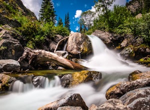
This fairly easy 2-night backpacking trip in the Tetons can be started around noon, allowing you to finish around noon, 2 days later.
From the visitor center, obtain a permit for 2 nights. Ask for a first night at Marion Lake (the Granite Canyon campsites are not my favorites), and for a second night in Dead Canyon. The first day is a 9 miles hike. The second day is just 7 miles, giving you ti...
Corona Heights Park
San Francisco, California
5.0
0.65 mi
/ 115 ft gain
Corona Heights Park is a park located north of the Castro and South of Buena Vista Park. The peak of the hill is windy, but it offers an unobstructed panoramic view of the city of San Francisco from downtown to Twin Peaks. It is perfect for taking panoramic pictures of San Francisco at night.
You can enter the park next to Cafe Josephine or at the cross street between Museum Way and Roosevelt...
Matt Davis-Coastal Trail Loop
Stinson Beach, California
4.7
6 mi
/ 2231 ft gain
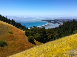
This hike is an alternative to the famous Matt Davis to Steep Ravine Loop. The hike starts at Stinson Beach, just behind the fire Station. I recommend parking at the Beach parking lot. The Matt Davis trail is one of the best constructed trails I have ever seen.
After 2.2 miles, turn left on the Coastal Trail. You can then enjoy amazing views on the north of Point Reyes. On a sunny day, there i...
Community
© 2023 The Outbound Collective - Terms of Use - Privacy Policy

