Blake Maitoza
Sykes Hot Springs via Pine Ridge Trail
Big Sur, California
4.2
18.96 mi
/ 7339 ft gain
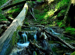
The trek to Sykes Hot Springs is about 10-miles one way along the Pine Ridge Trail. This is a great backpacking trip, but can be done as an out-and-back hike from the campgrounds at Pfeiffer Big Sur State Park if you're really moving.
The trail is moderately challenging, you'll cross the river twice - be careful in the winter and spring months, when the water runs fast. If it looks too fast, w...
Pfeiffer Beach
Big Sur, California
4.0
0.81 mi
/ 75 ft gain
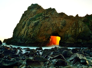
Pfeiffer Beach located in Big Sur may truly be one of the most awesome beaches in California...if you can find it. I lived within 40 miles of this beach for over 20 years and just discovered it recently. This beach is located on an unmarked road called Sycamore Canyon Road. On Highway 1, this road is about a mile south of the Big Sur Station on the right. Once you are on this road, you wind bac...
Natural Bridges State Beach
Santa Cruz, California
4.3
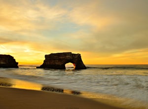
Natural Bridges State Beach is a wonderful place to photograph located in Santa Cruz off of West Cliff Drive. This is a great place to practice long exposure photography to capture awesome water movement as it passes through the "Natural Bridge" formation.
The best time to shoot this spot is at sunrise due to the sun risng in the east directly behind the formation making for an awesome photo. ...
Explore the Big Sur River Gorge
Big Sur, California
4.5
1 mi
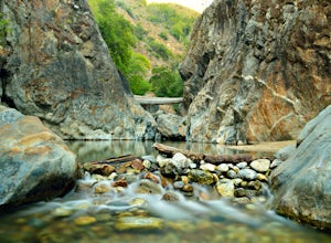
If you are in the Big Sur area during the summer, exploring the Big Sur River Gorge is a must! The gorge is located in Pfeiffer Big Sur State Park, and your closest parking will be day use parking lot 3. The trailhead to the gorge can be found at the northeast end of Pfeiffer Big Sur State Park Campground between camp sites 111 and 112.Before you start on this trail it helps to know that there ...
Jennie Lake via Fox Meadows
Tulare County, California
4.5
10.71 mi
/ 1929 ft gain
Jennie Lake is a beautiful subalpine lake located in the Jennie Lakes Wilderness just outside of Sequoia National Park. There are no backpacking quota restrictions making this a perfect trip that requires little planning.
Your journey starts at the Fox Meadows trailhead on paved Forest Service Road 14S11 located just off the Generals Highway. The hike to Jennie Lakes is ~6.5 miles and takes ar...
Explore Highway 1 from Carmel to Big Sur
Del Monte Forest, California
4.6
Being from the Central Coast, every time I visit the area I like to do the same trip - Simply because it is amazing. The trip starts along 17 mile drive located in Carmel. From the road, you see the Central Coast icon, the Lone Cypress. Being one of the most photographed trees in North America, it is truly an incredible site to see. This Monterey Cypress has been standing on the granite cliff f...
Community
© 2023 The Outbound Collective - Terms of Use - Privacy Policy

