Cliff Jumping Paradise
South Lake Tahoe, California
4.5
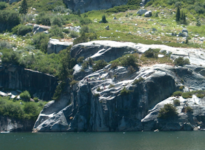
If you choose to go cliff jumping, be safe and know your limits ahead of time. Don't feel like the big jump is your only option, there are lower jumps, especially across from the beach (only about 15ft. high).
Angora Lake in Lake Tahoe is a easy 1mi hike up, but well worth it at the top. It's a big "bowl" so there is a beach with shallow water for kids and families and different sized boulders ...
Hiking Torrey Pines
San Diego, California
4.7
5.5 mi
/ 300 ft gain
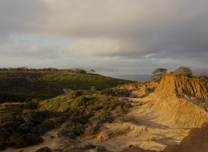
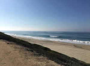
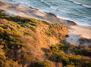
The beach trail brings you from the parking lot across the lodge from the bluff down to the beach. You can choose to visit the Red Butte, the Razor Point, and the Yucca Point trails along the way. Of the other trails, this trail seems to provide a complete walkthrough of geological features; it also provides a gradual descent down to the beach suitable for children.
Warning: do not walk too clo...
Backpack the Skyline-to-the-Sea Trail
Saratoga, California
4.5
30.8 mi
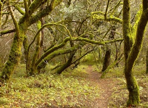
Want to experience one of the bay area's most memorable backpacking trips? We've got the details to get you out on the trail.To start the trek, drop your car at the Castle Rock State Park Parking Lot, which is located ~2.5 miles south of the junctions of Highways 35 and 9 off of Highway 35. Note that you must park inside the gate. Be sure to bring cash as exact change is required for parking yo...
Bodysurf at Pounders
Laie, Hawaii
4.2
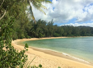
Pounders is located just south of La'ie Beach Park. Pounders can get big during winter months, with waves bouncing and barreling off of the cliff to the south. Mostly though, the waves are much more mellow and fun for just about anyone. If you continue to walk along the shore and round the corner, you'll find Bathtub Beach. This is a nice local beach with typically calm water due to an off-shor...
Surfing at Black's Beach via the Main Gate
San Diego, California
5.0
1 mi
/ 650 ft gain
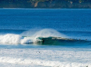
With arguably some of San Diego’s best waves, Black’s Beach can be found in the vicinity of the University of California San Diego campus, at the southern end of Torrey Pines State Beach and north of La Jolla Shores. Stately eight-figure mansions now line the bluffs where pastures and the Black family horse farm once lay. Hence the name, Black's Beach.
Black’s is famous amongst surfers for big ...
Hike from Camogli to San Fruttoso
Camogli, Italy
5.8 mi
/ 520 ft gain
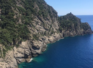
You can either start in Camogli, hike to San Fruttoso and take a ferry back (like we did). Do this as an out-and-back hike. Or take the ferry to San Fruttoso and hike in the reverse to Camogli. Here is a link to the schedule, but always double check. Also, you're exposed for roughly 80% of this hike, so be prepared with water and sunblock.
Starting in the heart of Camogli, you'll need to walk ...
Surf Salt Creek
Dana Point, California
5.0
There are two HUGE parking lots off of PCH, so parking isn't an issue (unless it's on a weekend in the summer, then it does get full). This is a paid lot with a few pay stations located around the parking lot, and they take cash and credit/ debit card...you can pay by the hour.
Once you find your parking spot, you will walk under the paved road, through a tunnel and you will see the rolling gre...
Relax at Three Tables
Haleiwa, Hawaii
4.6
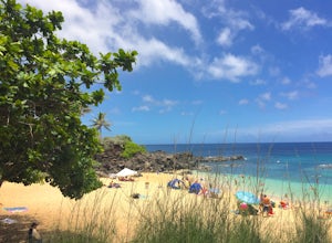
Even though the North Shore of Oahu is known for big waves in the Winter, in the Summer months (northern hemisphere) there can be a ton of great beaches to relax at and spend the day. Three tables is one of those places that can be sometimes overlooked, but well worth the stop if you are headed up that way. With plenty of shade, small pools, and sand, it's a great place to bring the whole famil...
Beach Bonfire at Drake's Beach, Pt. Reyes
Point Reyes Station, California
5.0
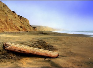
Named after the famed explorer, Sir Francis Drake, Drakes Beach is part of the scenic Point Reyes National Seashore. If you're looking to spend a day and an evening at the beach, grab some snacks and some firewood and head out to Drakes Beach.
Key things to remember with the bonfire: Build the fire below the high-tide lineKeep the fire at least 30 feet from vegetationThe fire should not be mor...
Hike the Bellview to Dove Lake Trail
Trabuco Canyon, California
2.5 mi
/ 75 ft gain
This hike will be about going from the Bellview Trailhead to Dove Lake and back. Note that once you get to Dove Lake there are numerous offshoots that can take you in different directions (you can follow the road into the Dove Canyon housing community, take a paved road back to the Bellview parking lot, loop around the lake, etc.).
Once you park, the trailhead is easy to find, and the path to t...
Hike to Black's Beach via the Ho Chi Minh Trail
San Diego, California
4.3
1 mi
/ 400 ft gain
Finding the actual trail is 80% of the adventure. Once you turn down La Jolla Farms Road you will follow it for about 3/4 of a mile and there won't be anything too apparent that you are there, except a few cars parked along the street. Make sure to plug in the directions from the map so you know (I've also attached a photo from the street that shows where you start hiking between the mansions)....
Harding Falls Trail
Silverado, California
5.0
5.96 mi
/ 1378 ft gain
The lot provides free parking, with plenty of spaces available throughout the day.
The first few miles feature a descent into the canyon on a defined trail out in the open. The way back up is a decent incline in the sun!
Be prepared, because even though 6+ miles may not seem too hard, this hike was a few hours of climbing over and under fallen trees, rocks, poison oak, spider webs with spi...
Run Grandview Beach
Encinitas, California
5.0
3 mi
You can start at either Grandview Beach and head south along the beach to the San Elijo lagoon, or you can start there and head north...either way you'll be amazed. The run is a relatively flat, normal beach run with a few exceptions being the reefs (at low tide), the cliffs, and the homes that line them.Not as glitzy as La Jolla or as crowded as Pacific Beach, Encinitas is a more laid back bea...
Hike from Turtle Bay to Kawela Bay
Kahuku, Hawaii
5.0
3 mi
/ 0 ft gain
Once you get to the Turtle Bay resort, you just follow the signs to Kawela Bay/ the Stables. From there the signs are super easy to follow, with options ranging from 0.5mi to 3.0mi. and you can do this as a simple out-and-back or as a longer loop that takes you through Banyan forests, beaches and eventually Kawela Bay itself. It's not a technical hike by any means, just a series of casual path(...
Colinas Ridge Trail
Laguna Niguel, California
2.01 mi
/ 131 ft gain
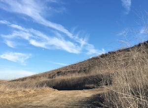
First, you'll be parking in the parking lot for the dog park. It's free parking and there are roughly 40 spaces, so there is plenty of parking. I've never seen more than 20 cars here at any one time. Once parked you'll find the trail head/ start on the northwest side of the lot (opposite the dog park and the view from the second photo).
Once you go about 50yds, you'll see a tunnel on your righ...
Hiking to the 3-Sisters Falls
Descanso, California
4.9
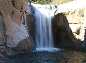
Although this hike is not very long (in terms of distance) it will be a workout nonetheless...as possibly one of the harder hikes in all of San Diego. Start out earlier in the day for a less strenuous trip and be prepared to drink a LOT of water. The path is fairly well marked and at certain points, you will need to use ropes to climb up or down some natural obstacles (the ropes are already the...
Camping at Live Oak Grove
Trabuco Canyon, California
5.0
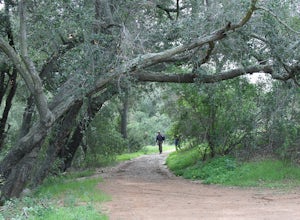
Located within an hour's drive of Orange County and much of the Inland Empire, with dozens of trails winding through and above the beautiful and serene Bell Canyon. One could camp an entire week here and never hike the same trail twice. Take the high road and hike the scenic East or West Ridge Trails and enjoy the views along the way. Or take the low road and enjoy the oak woodlands of Bell Can...
Camp at San Mateo Campground
San Clemente, California
5.0
San Onofre State Beach, best known for its famous surf breaks, additionally offers two well equipped campgrounds.San Onofre Bluffs has fire pits and picnic tables, as well as outdoor showers, chemical toilets, and an RV dump station. Swimming and surfing are popular here.Further inland from the beaches is San Mateo Campground, which has access to the 1.5 mile Nature Trail to Trestles Beach, ano...
Beach Day at Las Flores
Las Flores Beach, El Salvador
5.0
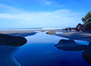
Getting to the coast from San Salvador airport (this part of the coast) takes about 2hrs. and should probably be booked in advance, since once you exit the airport you are bombarded with options. If you like haggling and speak Spanish, you may get a better deal, so up to you. Once in Cuco or Las Flores, it's a amazing little small town that really revolves around the ocean. Great seafood, amazi...
Buccaneer Beach
Oceanside, California
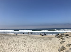
If you're looking for a beach to bring your family, Buccaneer Beach is the place to go. It has a little bit of everything plus a huge parking lot, so it's really never full (unless you go midday on the 4th of July or something).
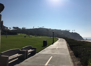
There is a grassy area next to the parking lot with benches to have a picnic and watch the ducks. There is a small restaurant that serves amazing food next to the park...
Hike the Salt Creek Trail
Dana Point, California
5.0
3 mi
/ 20 ft gain
Starting from the Salt Creek Beach parking lot (a paid lot that takes cash, debit, and credit cards and charges by the hour. There are pay stations at a few points in the parking lots), you head west towards the ocean...through a tunnel and down the hill towards the beach. Once you get to the basketball court you can make a slight detour to the left and walk up the hill (on the Ritz Carlton pro...
Hike Stonewall Peak
Julian, California
4.7
3.82 mi
/ 820 ft gain
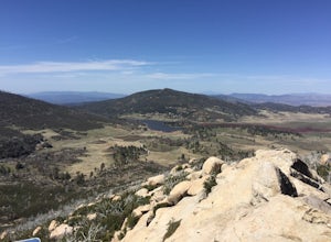
This hike is one of the most popular in the Cuyamaca Rancho State Park. When you reach Stonewall Peak's summit, enjoy the view of the surrounding park and nearby Lake Cuyamaca. The hike up the east side is a popular and relatively easy trail. Although you'll be gaining 800 feet, the hike is relatively easy as you'll be heading up switchbacks until the last stretch to the summit. Just before the...
Hike the Garnet Peak-Champagne Pass Loop
Julian, California
5.0
10.5 mi
/ 900 ft gain
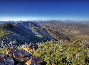
Hiking the Garnet Peak to Champagne Pass Loop can be done as a day hike or an overnight backpacking trip. You will hike on the PCT (Pacific Crest Trail), climb to the top of Garnet Peak and relish in the views of the Anza Borrego Desert. There are optional side trails that you can take (to Storm Canyon, Monument Peak) so bring a map/ compass if you feel like tackling those. It's a pretty straig...
Hike to Lake Cahuilla
La Quinta, California
4.5
5.41 mi
/ 183 ft gain
From Hwy. 111 take Washington (South) 3 miles to Avenue 52 (Turn Right). Take Avenue 52 a 1/2 mile to Avenida Bermudas (Turn Left). Follow Avenida Bermudas for 2 miles (becomes Calle Tecate). Cove Trailhead & Parking Lot located on the left across from Avenida Ramirez.
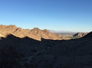
You'll start heading out northeast and clearly marked trails that show the beauty of the desert landscape. You will follow ...
Community
© 2023 The Outbound Collective - Terms of Use - Privacy Policy

