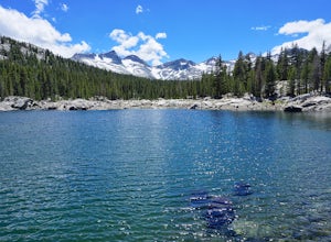
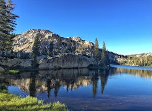
Backpack to Waugh Lake
Madera County, California
5.0
11 mi
/ 1000 ft gain
There are several trailheads you can start at to get to the lake, but we chose the River Trail in Agnew Meadows because it was the only trailhead that hadn't met the quota yet. You can check on permit's and trailheads here. If the River Trail is booked other great options are Shadow Creek, Fish Creek, or the High Trail. Regardless of your trailhead if you are starting in Red's Meadow, Devil's P...
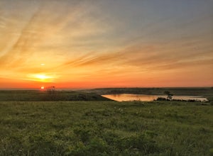
Hike through the Tallgrass Prairie Preserve
Strong City, Kansas
5.0
9 mi
Park your car at the Visitor Center and head inside to grab a copy of the trail map. If the Visitor Center is closed, you can take a picture of the map on the display outside of the building. There are several trails you can take in the preserve, and all of them are worth the time. I recommend starting at the Southwind Nature Trail that is just north of the Visitor Center. This trail takes you ...
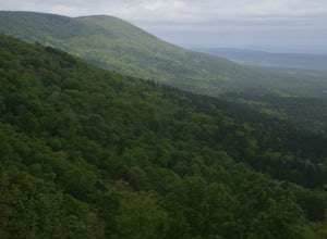
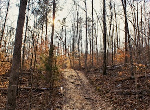
Backpack the Horsethief Springs Trail
Hodgen, Oklahoma
12.7 mi
/ 1100 ft gain
Park your car in the east parking lot at Cedar Lake and you will find the trailhead on the southeast side of the lot. You will immediately head south on the Horse Thief Springs Trail. There are several cutoffs and side trails along this route, but follow the white blazes on the trees and you will be fine. At 1.6 miles you will cross Holson Valley Road. At 2.1 miles you will reach the east/west ...
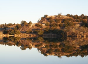
Roman Nose State Park Loop
Hitchcock, Oklahoma
4.3
2.71 mi
/ 223 ft gain
Roman Nose State Park is a great weekend getaway that offers plenty of activities for the outdoor enthusiast. There are 4 interconnected trails that are easily accessible. I recommend taking the Lake Loop Trail to the Mesa Loop Trail. This route will take you to Inspiration Point where you will have a great view of the canyon and lake.
Start at the Lake Loop trail head on the northwest side of...
Tuolumne Meadows to Yosemite Valley
Cathedral Lakes Trailhead
5.0
30.82 mi
/ 6109 ft gain
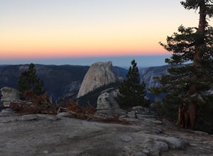
Yosemite is an iconic park, and if you are looking for isolation with spectacular views of the backcountry this trip is for you. The trail itself is approximately 33 miles and can be done in 3-4 days, but I recommend a 6 day hike to enjoy the scenery and to have the opportunity to soak in each location you visit.
June through September, YARTS has a shuttle that will take you from the Yosemite ...
Pam's Grotto Trail
Hagarville, Arkansas
4.0
0.92 mi
/ 384 ft gain
Getting to this trailhead is the most difficult part. The small parking area/campground is located about a half mile east of the Haw Creek Falls Campground. You will see a pull off on the east side of the road where you can park your car.
Once you are ready to hit the trail you will cross the road from where you parked. You will see a small creek that flows underneath the highway, you will wan...
Explore the Natural Bridge in Yoho NP
Field, British Columbia
4.5
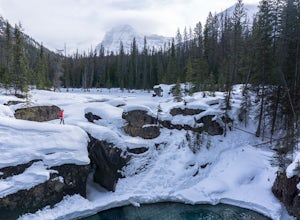
Whether you are traveling north or south on the Trans-Canada Highway in Yoho National Park you will see a sign that directs you west to travel on Emerald Lake Road. When you turn west you will travel about one mile, or 1.6 km, and then you will see the parking area for the Natural Bridge. After parking you take a short walk over a footbridge to the viewing platform.
There are small trails arou...
Hike the California Road Nature Trail Loop
Hinton, Oklahoma
3.0
2.3 mi
/ 262 ft gain
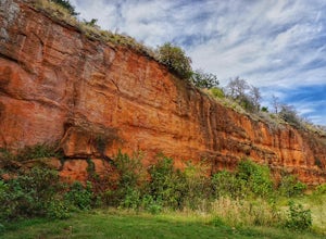
Red Rock Canyon is approximately one hour west of Oklahoma City, the entrance is on the south side of the town of Hinton. You can easily drive past the entryway if you aren't looking for the turn off to Red Rock Canyon Road. The California Nature Trail is on the southern end of the park and has easy parking to access the trailhead; you can park in the grassy area directly east of the trailhead,...
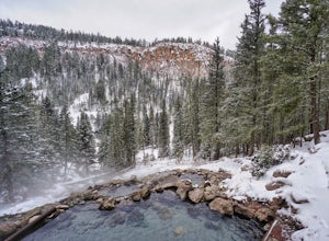
San Antonio Hot Springs
Jemez Springs, New Mexico
4.5
1.46 mi
/ 312 ft gain
These hot springs are a short hike from the parking area along the top of Forest Service Road 376. I've added additional details below in the event that the road is closed due to seasonality or you prefer to stretch your legs for a significantly longer, yet scenic hike. The GPX track is displaying the shorter version.
Starting from Jemez Springs New Mexico you will drive north on NM-4 for app...
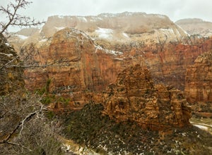
Hike the Hidden Canyon Trail in Zion
Springdale, Utah
4.5
3 mi
/ 1000 ft gain
This trail starts at Weeping Rock Trailhead, it's the same trailhead for Observation Point and the East Rim Trail. You will start this hike up a paved section with several switchbacks up the east side of the main canyon. Shortly after the paved trail ends you will reach a sign that directs you towards the Hidden Canyon Trail.The official Hidden Canyon trail begins with uphill switchbacks that w...
Backpack to Boothe Lake
Tuolumne County, California
5.0
16.6 mi
/ 1400 ft gain
Starting at the Tuolomne Meadows Visitor Center you will head south to jump on the John Muir Trail, move east for 2.8 miles on the JMT until the trail intersects with the Vogelsang High Sierra trailhead, you head south when you reach this trail. Once you hit the Vogelsang trail you are 5.5 miles from Boothe Lake. Tuolomne Meadows sits at 8,600' and Boothe Lake is at about 9,800' but luckily the...
Hike the Glory Hole Falls Trail
Jefferson Township, Arkansas
4.4
2 mi
/ 345 ft gain
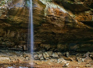
This trail and waterfall is located 13.8 miles south of Boxley, AR or 5.7 miles east of Fallsville, AR. The easiest way to get to the trailhead is to locate the Cassville Baptist Church on your GPS system. If you are headed east, the church is 0.7 miles east of the trail. If you are headed west, the trail will be 0.7 miles after you pass the church. You will see a designated parking area on the...
Community
© 2023 The Outbound Collective - Terms of Use - Privacy Policy

