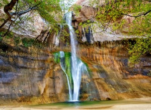
Eagle Falls & Eagle Lake Loop
South Lake Tahoe, California
4.4
2.39 mi
/ 617 ft gain
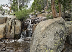
Eagle Falls Trail is located off Highway 89 and is surrounded by some of the most beautiful landscapes in California. Eagle Falls is one of the most popular short hikes in Lake Tahoe because of its beautiful cascading waterfalls, lush green scenery, and trees. Alongside one of the bluest pristine lakes in California, hikers on Eagle Falls will see the delightful sights of cascading waterfalls, ...
Adams Canyon
Layton, Utah
4.8
3.55 mi
/ 1434 ft gain
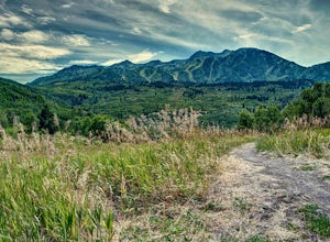
The trailhead is at a dirt parking lot with a lot of parking, but on Saturday mornings it can get full and people are forced to park on the street.
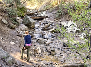
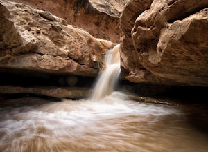
As you start off, there are a few steep and sandy switchbacks. They don't last too long but on a hot day it can seem like forever. After that, the trail will continue to be steep but won't switchback nearly as often. Follow the trail through the fo...
Hike through the Red Caves (Sand Wash)
Orderville, Utah
5.0
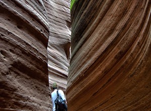
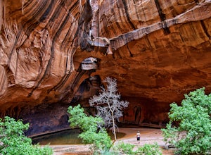
They don't require any technical gear unless you would like to do two short rappels near the beginning of Lower Red Cave and one short rappel into the Upper Red Cave. We didn't take a rope and were fine although the canyons are usually filled with water and have some difficult obstacles to overcome.To get there from Mt. Carmel junction, travel north on highway 89 to a dirt road called Tait Lane...
Hike to the Snow Canyon Petroglpyhs
St. George, Utah
3.8
1.8 mi
/ 200 ft gain
These are the coolest petroglyphs I have ever visited, but they are very difficult to find. They are located in Snow Canyon State Park; the parking is outside of the park and you enter the boundaries by crossing over a barbed wire fence. Bring a GPS if you have one because the petroglyphs are hard to find and it's easy to get lost.Parking is at 4400 North, just off of Highway 18, north of St. G...
Crouching Lion Trail
Kaaawa, Hawaii
4.5
4 mi
/ 2000 ft gain
NOTE: as of April 2021, this trail is closed indefinitely. Please do not attempt to hike on closed trails.
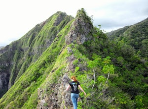
This trail is not for the faint of heart or those easily scared of heights. The crouching lion trail is a 4 mile loop with an elevation gain of 2,000 feet. The elevation gains and losses are near the beginning and the end of the trail. The middle of the trail is where the dangerous knife...
Hike to Skunk Harbor
Carson City, Nevada
4.7
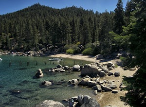
The parking for Skunk Beach is very limited and a little difficult to find. Make sure you get there early if you want a spot. The parking is a turnoff along highway 28, about two miles north of the junction with highway 50. There is no trail sign or anything but there is an old green pipe gate which is the entrance to the trailhead. Parking is free but don't park in front of the gate or you mig...
Hike the Skull Creek Trail of Causey Reservoir
Huntsville, Utah
4.8 mi
/ 400 ft gain
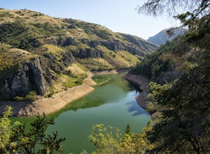
To get to the trailhead from Ogden, Utah, take 12th street east up canyon and around Pine View Reservoir. When you get to Huntsville, turn right and continue to head east up the canyon. IN 8 miles you will come to a sign for Causey Road. Turn right here and follow the road to the dam. Turn right to cross the dam and follow the road until it ends in a parking lot. The trail starts on the north o...
Check Out Pioneer Park's Little Narrows
Saint George, Utah
5.0
0.1 mi
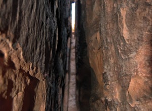
Pioneer Park's slot canyon is located in the red sandstone cliffs above St. George Blvd in Pioneer Park. Pioneer Park has tables for picnics and lots of fun rock formations for kids and adults to play on. The park is usually very crowded, and it can be challenging to find a parking spot in the park if you go after about noon.
There are a few bolts in the slot canyon for rock climbers to climb. ...
Sunrise Arch
Kane County, Utah
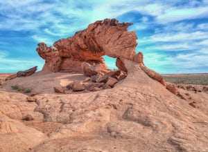
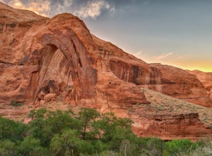
The trailhead starts at Coyote Gulch Trailhead in the Grand Staircase - Escalante National Monument. There is actually no trail to the arches but they are pretty easy to find and even easier with a GPS. The coordinates are Sunrise Arch = 37.382214,-111.04838 and Sunset Arch = 37.38191,-111.048397.
Since there is no trail you will be walking through lots of sagebrush and stickers so it is a goo...
Capitol Reef's Sulphur Creek Route
Torrey, Utah
4.8
5.87 mi
/ 1191 ft gain
This is a point-to-point hike that either requires a shuttle or 3 mile walk along highway 24. The starting trailhead is the Chimney Rock Trailhead which has limited parking. The ending trailhead is the Capitol Reef National Park Visitors Center. We only had one car so I dropped everyone off at the Chimney Rock Trailhead and then parked the car at the visitors center and jogged to meet up with t...
Waterfall Canyon
Ogden, Utah
4.0
2.44 mi
/ 1394 ft gain
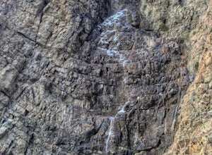
Waterfall Canyon is one of the most popular hikes in the Ogden area. The trailhead is easy to find, just head east on 29th street until you hit the base of the mountains and the parking lot is on the right. There are plenty of parking spots and restrooms but sometimes the restrooms are locked.
Take the trail until it meets up with the Bonneville Shoreline Trail. You will pass a fence with sign...
Hike Arch Trail to Babylon Arch
Hurricane, Utah
5.0
1.5 mi
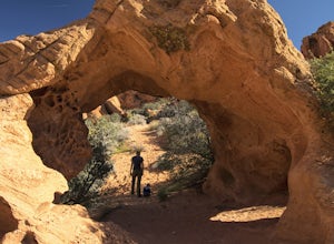
Arch Trail to Babylon Arch is a short family friendly hike to the Virgin River and back. The trail is very sandy, which makes climbing hills difficult. The arch is really neat and totally worth the visit.To get to the trailhead will require 4 wheel drive and if its recently rained I would not recommend going here. From St. George drive north on I-15 for about 14 miles to exit 22. Take Main Stre...
Red Cliffs Recreation Nature Trail
Hurricane, Utah
4.5
1.39 mi
/ 266 ft gain
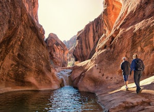
Hike along streams that run through red sandstone - the blue water makes a fun contrast against the red rocks and sand.
To get to the trailhead, drive to the Red Cliffs Campground about 20 minutes north of St. George. There is a small fee to park or camp at the campground.
This trail starts in the Red Cliff Campground and is easy to follow with only a mild elevation gain. It follows the strea...
Hike the Wheeler Creek and Icebox Canyon Loop
Ogden, Utah
4 mi
/ 400 ft gain
To get to the trailhead from Ogden drive up Ogden Canyon toward Pine View Reservoir. Right when the canyon begins to open up and you can see the actual dam there is a turn off on the south side of the road that leads down a dirt road to a very small parking area and the trailhead. If the parking area is full there is some additional parking just off of the Ogden Canyon Road. If you see the wate...
Hike to the Parrish Creek Pictographs
Centerville, Utah
4.7
1 mi
/ 200 ft gain
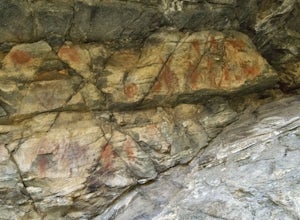
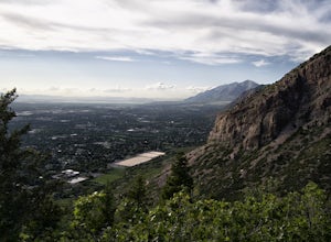
The petroglyphs are pretty easy to find and it is such a short hike you can do it in about 45 minutes. To get to the trailhead, drive to Centerville, Utah and take 400 N all the way towards the mountain. The road with curve to the right with a small dirt road heading to the left. Take the dirt road and follow it to the top and there will be a large parking area. The trailhead is at the north of...
Malans Peak
Ogden, Utah
5.0
4.3 mi
/ 2129 ft gain
You can reach this trail either via 27th Street or 29th Street in Ogden, Utah. Get on one of those roads and then head east until you reach the mountain. On 27th St. there is some parking on the road with a sign reminding people to keep their dogs on leash. On 29th St. there is a large parking lot with a covered entrance for the trail. Between the two lots, I prefer the 27th St. trailhead.
The...
Climb East Temple Peak
Boulder, Wyoming
23 mi
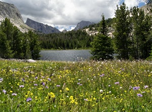
The quickest way to the summit of East Temple is from Big Sandy Trailhead. Getting to the Big Sandy Trailhead can be a little difficult since you must travel about 46 miles on unmarked dirt roads. Most cars should be able to make it to the trailhead if the dirt is dry but a high clearance vehicle is nice. The easiest way to get to the trailhead from Farson Wyoming is to head 4 miles east of Far...
Golden Cathedral Trail
Garfield County, Utah
4.3
9.27 mi
/ 1398 ft gain
From highway 12, drive south down the hole in the rock road for about 17 miles to a dirt road on the left that is well marked for Egypt. Follow that dirt road 9.9 miles to the Egypt Trailhead. There is a BLM trail register at the trail head. After that, take one of the numerous ways down to the Escalante River. We decided to go down Fence Canyon and camp at the Escalante River for a night but y...
Hike to Broken Bow Arch
Kane County, Utah
4.7
6.28 mi
/ 732 ft gain
The trailhead starts at the Willow Gulch Trailhead, located just off of Hole in the Rock Road in the Grand Staircase -Escalante National Monument. The coordinates for the trailhead are 37.324812,-111.023019. To get there head east on highway 12 out of Escalante, Utah until you get to Hole in the Rock Road. Follow Hole in the Rock Road 41.6 miles until you see a road on the left. Follow that abo...
Upper Calf Creek Falls
Boulder, Utah
5.0
1.76 mi
/ 571 ft gain
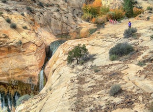
Finding the trailhead for the Upper Calf Creek Falls can be a little difficult. Head east out of Escalante and follow highway 12 for about 20.6 miles. There will be a dirt turnout on the left hand side that leads to a dirt parking lot and a trail sign with registration for the Upper Calf Creek Falls hike. The sign can be hidden behind some trees so be on the lookout. We missed the turnout the f...
Lower Calf Creek Falls
Boulder, Utah
4.6
5.74 mi
/ 515 ft gain
The trailhead for lower calf creek falls begins at the Calf Creek Campground. There is a small fee to park in the campground and a larger fee if you plan on camping in the campground. There is potable water and outhouses at the trailhead but parking can be difficult to find during the spring and fall.
Near the trailhead there is a pamphlet that you can grab that will tell you about the plants ...
Community
© 2023 The Outbound Collective - Terms of Use - Privacy Policy

