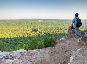
Mountain Bike at Oak Mountain State Park
Pelham, Alabama
5.0
26 mi
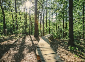
Oak Mountain State Park has some great mountain biking for all ages and all skill levels. Most trails at Oak Mountain are more oriented to the cross country rider, but you can find a couple of trails more geared towards downhill, gravity riders. However, expect to be cross country mountain biking.The pin takes you to the South Trailhead of Oak Mountain State Park. This is where most of the moun...
Stephens Gap
Scottsboro, Alabama
4.5
1.38 mi
/ 381 ft gain
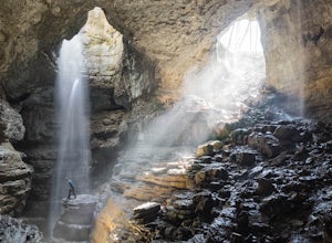
The hike is 2 miles round trip. It starts from the open space where you park. (Details on where to park when you email in the permit). There is a sign labeled as the trailhead. Trail is easily visible, but just in case you can't follow it, they have marked it with yellow flags on trees. The trail and area was recently purchased by the SCCI and is still being worked on.
There are two entrances ...
Kayak the Cahaba River
Birmingham, Alabama
3.0
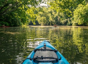
There are several places you can drop your kayak in. This is one of the more accessible spots. Another popular spot for dropping in your kayak is located on Grants Mill Road. If coming from I459, it will be on your left shortly after passing Church of the Highlands. We opted to drop our kayaks in this location due to the calmness of the water. The water is very still and allows for kayaking bot...
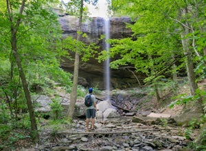
Hike to Upper Caney Creek Falls
Double Springs, Alabama
4.7
3 mi
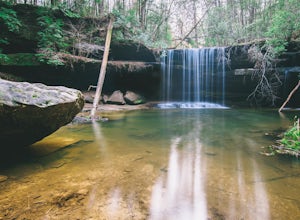
This short trail drops into the Caney Creek Canyon, hitting the waterfall in just 1 mile. The hike also involves a creek crossing – be sure to watch for slippery rocks – and a steep section of trail as you climb out of the canyon.
Bouldering Horse Pens 40
Steele, Alabama
4.0
1 mi
Horse Pens 40 is a very well known place for bouldering throughout Alabama. The parking and location arepretty well-marked with signs as you get closer to arriving. Once you arrive and park at Horse Pens, you need to go inside the store to fill out a waiver and pay $6.50 to climb. The bouldering problems range from V0-V11, and are very famous for difficult top-outs with large slopers. A full de...
Hike the Rockefeller Preserve Loop
Jackson, Wyoming
4.3
3 mi
The Rockefeller Preserve loop starts from a gravel trail that begins in the parking lot. The gravel pathway leads to a meadow and then goes right up to the visitor center. From the visitor center the trail continues to a thick forest that parallels the scenic Lake Creek. The trail leads around the shore of Phelps Lake before looping back around to head out.For those looking for an easy day hike...
Explore Little River Falls
Fort Payne, Alabama
4.0
Little River Falls is a popular site within the Little River Canyon National Preserve, a 12 mile long, 600 ft deep canyon.The 45-foot falls can be accessible from two different vantage points – either via a paved but steep path from the parking lot down to an overlook, or by driving to a higher lookout on Canyon Rim Drive (the easier of the two). You can also sometimes catch sight of Grace's Hi...
Hike to Peavine Falls
Pelham, Alabama
3.7
4.6 mi
The Peavine falls parking is located at the pin. You can also follow signs to the South Trailhead and from there, follow signs to Peavine Falls. Signs are clearly marked at the parking lot leading you down to the top of the falls or the bottom of the falls. Pictures from the top of the falls are difficult to take due to the lush vegetation around the top, but the bottom is a great place to set ...
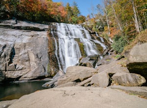
Rainbow Falls and Turtleback Falls in Gorges SP
Lake Toxaway, North Carolina
4.5
3.91 mi
/ 778 ft gain
Rainbow Falls is one of the most scenic waterfalls in North Carolina's Blue Ridge Mountains. The Horsepasture River swells in the rainy season, dumping a cascade of water 150 feet. The plume of mist at the bottom creates a distinct rainbow effect, giving the falls its name. Hike to Rainbow Falls and explore the surrounding area - Turtleback Falls, a 20 ft drop over a curved rock, is just .3 mil...
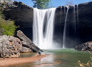
Photograph Noccalula Falls
Gadsden, Alabama
5.0
1.4 mi
Noccalula Falls is definitely beautiful from the top, however, you can really get an idea of the pure power of this waterfall by finding your way to the bottom. One way to get to the bottom is to go through the park entrance and pay the $6 admission fee to be able to reach the bottom.Another option is to follow the Black Creek Trail, which is a gravel pathway that can be entered beside the Nocc...
Cliff Jump at Acapulco Rock (Chimney Rock)
Dadeville, Alabama
5.0
Acapulco Rock is a great spot for cliff jumping for all ages. There are plenty of spots to jump from varying heights. Acapulco Rock (also referred to as Chimney Rock) is accessible only by water. Following the pin provided will lead you straight to the rock.In summer, you can expect a good crowd to be at Acapulco Rock taking the plunge. However, going very early in the morning or during the wee...
Hike to Falling Rock Falls
Montevallo, Alabama
3.9
2 mi
The location of the pin leads you to a gravel road with a gated entrance. Park at the white gate and start to hike up the gravel road. The hike is not very strenuous and the waterfall is pretty easy to find. As you hike up the road for a little while the road will fork. Go left at the fork and continue on and take the next right onto another gravel road. After probably 100 yards or so you will ...
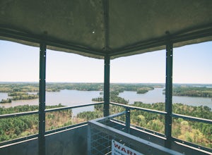
Hike to the Smith Mountain Fire Tower (Lake Martin)
Jacksons' Gap, Alabama
4.4
0.8 mi
/ 215 ft gain
The Smith Mountain Fire Tower is the perfect location to get a glimpse of the vastness of one of the largest man made lakes in the United States. From the parking lot, the stroll up to the base of the fire tower follows a steep pathway for about a half mile. The hike is very easy to follow and there is plenty of parking.In addition to the fire tower, there is also several boulders for climbers ...
Hike to Artist's Paint Pots
Yellowstone National Park, Wyoming
4.6
1.05 mi
/ 105 ft gain
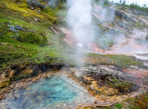
From the parking lot, follow the boardwalk pathway until you reach the springs. The hike itself is pretty self explanatory. It is a very easy hike and very short. We did this hike to break up some of the driving through Yellowstone. The hike loops around the springs and comes back to the parking lot. The milky blue pools are caused by the silica that is suspended in the water and gives this pla...
Hike South Kaibab Trail to Cedar Ridge
Grand Canyon Village, Arizona
5.0
2.88 mi
/ 1158 ft gain
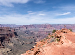
To access the trailhead, you must take a shuttle in. There is not parking next to the trailhead because the parking lot is very small. From the trailhead you cascade down several steep switchbacks and continue on until you reach Ooh Ah point. Ooh Ah point is a great place for a wide or panoramic picture and is a fantastic rest spot. Continuing on from Ooh Ah point, after several steep and windi...
Climb at Palisades Park
Oneonta, Alabama
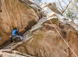
Palisades Park is a great place for beginners and advanced climbers. Following the pin, the crag is easily accessible from the parking lot. A short walk from the parking lot leads you straight to the cliff edge where you will find 60-70 foot cliffs to rappel/climb. Palisades requires you have a permit and pay a small fee at the park office before climbing. (Note: You must be 19 or older or have...
Explore Whitewater Falls
Cashiers, North Carolina
4.0
0.5 mi
/ 100 ft gain
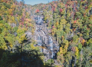
Whitewater Falls is the highest waterfall east of the Rocky Mountains with the upper falls alone dropping over 400 feet. The walk to the falls is very short and friendly for all ages and abilities - the path is paved so the falls are wheelchair accessible. The falls are beautiful in all seasons but particularly stunning in the fall and winter with the contrast of colorful leaves or snow and ice...
Hike to King's Chair
Birmingham, Alabama
4.6
4 mi
/ 600 ft gain
The pin leads you to the parking lot of Oak Mountain State Park. To get into Oak Mountain State Park there is a $5 fee. From the parking lot, the trail head is easily visible and right across the road. The trails split in a couple of different directions at the trail head, but to go to the King's Chair Overlook, follow the blue trail. The trail is a little over 2 miles and is inclined for most ...
Community
© 2023 The Outbound Collective - Terms of Use - Privacy Policy

