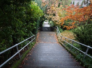
Run the Howe Street Stairs
Seattle, Washington
3.3
0.5 mi
/ 160 ft gain
The Howe Street Stairs are Seattle’s longest continuous stairway, and your quads will confirm this fact after you’ve done a few sets of repeats. This is a great place to raise your heart rate and get some exercise outside of the gym. If you’re up for it, throw in some push-ups and sit-ups in between sets for a full body workout.The stairs can get a little crowded on evenings and nice weekends, ...
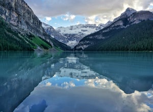
Hike the Plain of Six Glaciers
Lake Louise, Alberta
4.7
4.2 mi
/ 1263.1 ft gain
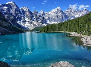
Starting from the parking lot on the east end of Lake Louise, there are a few options you can take to get to the Plain of Six Glaciers. One is to head directly along the lakeshore trail, and in about 7 km (4.2 miles) you will be at the lookout offering the best vantage point of the glacier field.Another is to make a short detour up to Mirror Lake, then to Lake Agnes. Both lakes are beautiful an...
Hike Cathedral Rock and Mount Daniel
Ronald, Washington
5.0
11.5 mi
/ 2300 ft gain
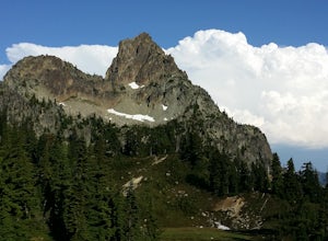
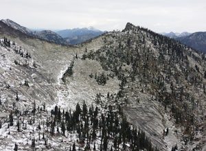
Hike easy switchbacks for almost 2 miles until the trail junction at elevation 4400 feet, then veer right onto trail #1345 toward Squaw Lake and Cathedral Rock. Pass by Squaw Lake on your left (a great place to take a short swim on a hot day) and stay on the trail until you reach another junction at 5600 feet, the top of Cathedral Pass. Take in the views of Cathedral Rock, Mount Daniel, and Mou...
Backpack to Robson Pass
Mount Robson, British Columbia
5.0
24.01 mi
/ 3766 ft gain
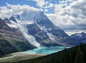
This trail is one of the most popular in all of Canada, and so reservations must be made to stay at campgrounds quite a way in advance. Find more information here http://www.env.gov.bc.ca/bcpar...
Make sure to check out this map for trail and campsite information, an elevation profile, and good labeling of all the attractions along the way: http://www.env.gov.bc.ca/bcpar...
One way to get aro...
Two Mouth Lakes
Bonners Ferry, Idaho
4.5
9.22 mi
/ 2037 ft gain
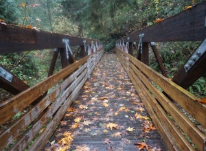
Start at Two Mouth Trail #268 as it goes north along an old logging road. The trail then heads west following Peak Creek before bending back to the south. The trail narrows, alternating between dirt and boardwalk, while meandering west toward a viewpoint of the giant granite slabs of the Selkirk Crest. You will reach the top of this crest at around mile 3.6, where you can check out amazing view...
Eiffel Lake via Valley of Ten Peaks
Improvement District No. 9, Alberta
5.0
7.35 mi
/ 1647 ft gain
Hike with amazing views of Valley of Ten Peaks, including Mount Fay (10,613 ft), Mount Little (10,131 ft), Deltaform Mountain (11,234 ft), and Wenkchemna Peak (10,401 ft) to two breathtaking glacial lakes in the heart of the Continental Divide.
From the lake, the trail is quite easy to follow, and clearly marked with signs and maps. Follow the lakeshore west 0.1 km (300 ft), then head up the L...
Coal Creek Trail
Bellevue, Washington
4.0
5.55 mi
/ 545 ft gain
This trail takes you through Coal Creek park and follows the creek along the trail with minimal elevation gain. This trail can also be accessed from the northern end of the park if that's a more convenient drive. For the lower parking lot, park at the Red Town lot (exit 13 off I-90) and cross the street to get to the trailhead.
As you get moving on this six-mile trail, you’ll soon spot an old ...
Hike the Craters of the Moon's Lava Tubes
Arco, Idaho
4.0
1.6 mi
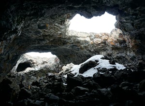
Craters of the Moon National Monument in Southern Idaho is a vast ocean of lava flows, with scattered islands of cinder and splatter cones created by volcanic activity 15,000 years ago. Over 618 square miles, this surreal field displays the strange geography that can be caused by significant eruptive activity.Most interesting is a series of caves created by lava tubes that guided molten magma u...
Eagle Cap Wilderness Loop
Halfway, Oregon
5.0
40.13 mi
/ 10630 ft gain
The top trip in Oregon's Eagle Cap Wilderness takes you in a loop around Eagle Cap, Oregon's 13th tallest peak and through three high mountain passes. East Eagle trailhead has two main parking lots, the first one you come to is a trailer parking lot meant for horse trailers, but make sure you drive past that to the second parking lot for backpackers.
From East Eagle trailhead, follow Trail 19...
Hike to Consolation Lakes
Improvement District No. 9, Alberta
4.0
3.7 mi
/ 196.9 ft gain
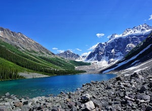
Once at Moraine Lake, the directions to Consolation Lakes are quite clear. From the parking lot, head northeast past the rockpile, which provides fantastic views of Moraine, then follow the Consolation Lakes Trail for another 2.9 km (1.8 miles) past Taylor Lake until you reach the lake. Depending on the season, it might be two distinct lakes or one and an area of drainage, but either way the la...
Marmot and Jade Lakes via Deception Pass Trail
Ronald, Washington
5.0
20.29 mi
/ 4370 ft gain
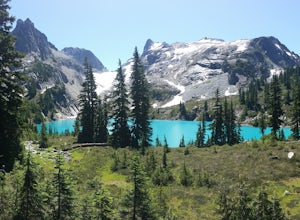
The road in is passable with basically any vehicle, though there are some potholes to be avoided. Start at the Deception Pass Trailhead near the parking lot. There is a quick and easy 4.5 miles as you pass Hyas Lake, then you start climbing up to the trail junction for Tuck and Robin Lakes and the PCT. Once on the PCT take the trail heading up to Marmot, Clarice, and Jade Lakes, and start climb...
Community
© 2023 The Outbound Collective - Terms of Use - Privacy Policy

