Matthew EatonExplorer
Greetings! I am an outdoor lifestyle and adventure photographer based in Denver, Colorado. Loving life since 1983. I hope you find some of my adventures below helpful and inspiring!
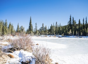
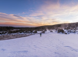
Hike or Snowshoe to Rainbow Lakes
Frisco, Colorado
5.0
3 mi
/ 250 ft gain
You can do this hike two different ways: 1- Start from the Peaks Trail Trailhead for an out and back hike, distance is a little over 2 miles roundtrip. 2- Start along the Summit County Recreational Trail (as marked on this map), also out and back hike, total distance just over 3 miles, and provides a nice leg warm up along an established and paved trail. There is a parking area just on the sout...
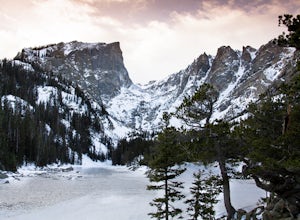
Winter Camp at Moraine Park
Estes Park, Colorado
5.0
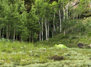
For the extra-adventurous (my friends call me crazy for this), I recommend experiencing Rocky Mountain National Park in the off-season, when nobody else is there. Dead winter.Of course, you'll want to be uber prepared if you choose to take on this adventure, as the mountains are very unforgiving, especially in winter, so why not try a winter camping trip? If you do, you'll get to experience one...
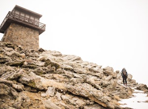
Snowshoe to Squaw Mountain Fire Lookout
Idaho Springs, Colorado
4.0
4.75 mi
/ 1200 ft gain
Come check out the Squaw Mountain Fire Lookout, a historic spot located in the Mount Evans Wilderness Area of Colorado, and one of the highest lookout towers in the country, at an elevation of 11,486 ft. Just a short drive from the Front Range corridor, you can hike/backpack in to this lookout area. The Civilian Conservation Corp constructed this lookout and it remains an active communication t...
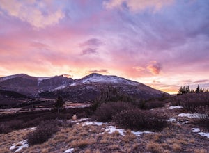
Watch the Sunrise at Guanella Pass
Idaho Springs, Colorado
5.0
1 mi
/ 100 ft gain
From Denver, take i70 to Georgetown and simply follow the signs through town to the top. This pass can also be accessed from the south via US Highway 285 at the town of Grant. Guanella Pass is closed in the winter, typically from about the last week in November through the last week of May. Watching the sunrise in winter is still possible from Guanella pass, but will require a ¾ mile hike from ...
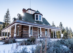
Hike to the Historical Interlaken Resort
Buena Vista, Colorado
5.0
6 mi
/ 500 ft gain
Follow Colorado Highway 24 South from Leadville for 14 miles, then turn right onto Colorado 82 towards Aspen. Turn left onto County Road 25, then follow the road for 1 mile to a small parking area for the Colorado Trail. You have arrived!This trail starts near 9,200 feet of elevation and while your destination is the same, you’ll wind up and down the trail along the lakeshore and end up with ab...
Summit Mount Flora
Idaho Springs, Colorado
5.0
6.5 mi
/ 2200 ft gain
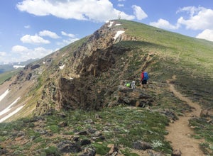
Colorado’s Rocky Mountains offer hikes of all lengths, sizes and difficulties. Mt. Flora stands at a lofty 13,146 ft and is a great intro to climbing peaks in Colorado. Roundtrip, this hike is 6.5 miles and will take you (in the summer) through fields of alpine wildflowers as you climb into Colorado’s high country along the Continental Divide Trail (CDT).You’ll start out on switchbacks on an ol...
Hike Beaver Brook Trail at Windy Saddle Park
Golden, Colorado
5.0
5 mi
/ 500 ft gain
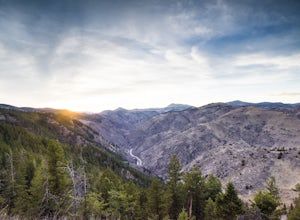
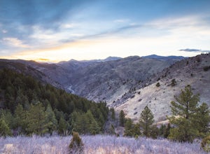
Just outside of Golden, CO is Lookout Mountain. If you’ve ever driven westbound on i70 from Denver to the mountains, you’ve undoubtedly seen this mountain to your right with antennas on the top. On the north side of Lookout Mountain lies Windy Saddle Park, about a 30 minute drive from Denver. This close proximity to the city does mean that this is a popular spot, but it also means that it is qu...
Hike Lookout Mountain Trail at Windy Saddle Park
Golden, Colorado
4.0
2.6 mi
/ 500 ft gain
Just outside of Golden, CO is Lookout Mountain. If you’ve ever driven westbound on i70 from Denver to the mountains, you’ve undoubtedly seen this mountain to your right with antennas on the top. On the north side of Lookout Mountain lies Windy Saddle Park, about a 30 minute drive from Denver. This close proximity to the city does mean that this is a popular spot, but it also means that it is qu...
Winter Camp at Lefthand Reservoir
Ward, Colorado
3 mi
/ 250 ft gain
The Brainard Lake Recreation Area is a winter adventurers playground with numerous snowshoe and cross country ski options to be explored. This area is popular as it offers dramatic mountain peaks, a trail for everyone (no motorized vehicles off of pavement), and close proximity to the Denver and Boulder metro area. From Denver, drive about an hour and a half to the Brainard Lake Recreation Area...
Hike Chimney Gulch Trail at Windy Saddle Park
Golden, Colorado
4.0
5 mi
/ 1000 ft gain
Just outside of Golden, CO is Lookout Mountain. If you’ve ever driven westbound on i70 from Denver to the mountains, you’ve undoubtedly seen this mountain to your right with antennas on the top. On the north side of Lookout Mountain lies Windy Saddle Park, about a 30 minute drive from Denver. This close proximity to the city does mean that this is a popular spot, but it also means that it is qu...
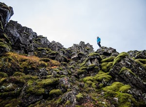
Hike through Þingvellir National Park
Þingvellir Visitor Center, Iceland
4.1
2 mi
/ 50 ft gain
From the visitor center there are several trails that lead into the countryside. Take the obvious trail down the ramp and into the gap where you can explore the beautiful terrain, waterfalls and historic sites. You could easily spend an entire day hiking around and having fun. Don’t forget to extend your arms side to side in the gap to touch both North America and Europe at the same time!
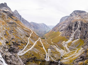
Explore the Trollstigen
Rauma, Norway
The nearest town is the very picturesque Åndalsnes, which lies at entrance of the large Isfjorden along the Rauma River, and is about a 5 and a half hour drive from the capital city of Oslo. Immediately upon turning onto Highway 63, a beautiful valley begins to open up in front of you as you enter deeper into the mountains; this is the Trollstigen National Tourist Route. The also famous Trollve...
Shoshone Point
Grand Canyon Village, Arizona
5.0
2.14 mi
/ 100 ft gain
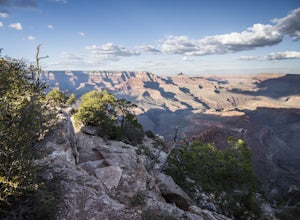
A two mile round trip and relatively fast hike, Shoshone Point lies only about a mile from the parking lot and is an easy hike along a dirt road to a stunning vista. The trailhead is on Desert View Dr (Highway 64) about 3.5 miles east of the junction of highways 180 and 64. Look for the trail on the north side of the road as you drive east on Desert View Dr and you will see a parking area with ...
Hike the Chasm View Nature Trail
Crawford, Colorado
5.0
1 mi
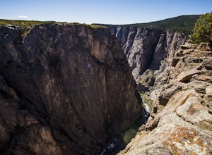
This easy trail is located along the north rim of the canyon and can be completed as either a short loop hike or a shorter out and back to the first overlook. You’ll find the trailhead at the North Rim Campground. The views of the canyon along this trail are fantastic, some of the best in the park unless you drop into the canyon. You’ll hike through Pinyon and Juniper forests and see many diffe...
Hike the Pawnee Buttes
Grover, Colorado
3 mi
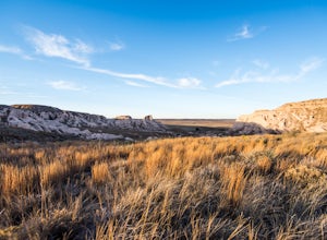
The Pawnee Buttes are a major geological feature within Pawnee National Grasslands in the far northeastern part of Colorado. There are two sandstone buttes that each rise over 300ft from the surrounding areas. There are also several other mesas nearby that are worth exploring.The trail is very straight forward and easily accessed. From the parking lot, you can first view the overlook of the but...
Camp at Long Canyon
Moab, Utah
2.3
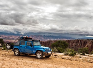
If you haven’t been to Moab, UT then you are missing out. There is truly something for everyone in this breathtaking desert landscape which has become increasingly popular over the past several years. There are two major national parks nearby, Arches and Canyonlands, which are easily accessible from this camp. You’ll need four wheel drive to get to this spot, and you won’t be disappointed.Start...
Watch the Sunset from Mt Evans Road
Evergreen, Colorado
5.0
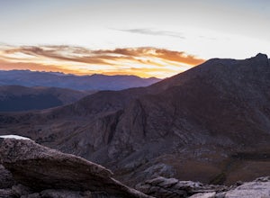
Leave Evergreen, CO and access the Mount Evans Road and Mount Evans Recreation Area from Squaw Pass, CO 103 at Echo Lake.Drive along the slopes of Mount Evans, a Colorado 14er standing at 14,264 ft. 5 switchbacks down from the summit, on a tight hairpin turn, is a small parking area near 13,900ft. From here, hike ¼ mile down to the open area above a band of cliffs and towards an unnamed point....
Backpack the Colorado Trail: Copper Mountain to Hagerman Pass
Frisco, Colorado
39 mi
The Colorado Trail (CT) runs for 483 miles from Denver to Durango, crossing through eight mountain ranges and passing through six wilderness areas. There are great resources on completing a thru-hike of the CT; this post is about Segments 8-9 of the CT from Copper Mountain to Tennessee Pass.These two segments are easily accessible for an extended weekend, and can be completed over either three ...
Fly Fish Crystal Lake
Leadville, Colorado
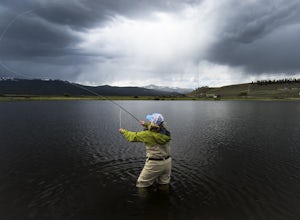
Crystal Lake is a beautiful lake (or could it be called a pond?), set in the shadow of the Rocky Mountain’s highest peaks, Mt. Elbert and Mt. Massive, can be found about six miles south of Leadville, CO on the west side of US 24. This lake holds a healthy trout population and is stocked regularly with Rainbow Trout, which keeps the fishing better. If you are looking for a fun fishing spot that ...
Snowmass Lake via Maroon-Snowmass Trail
Aspen, Colorado
4.3
16.53 mi
/ 5023 ft gain
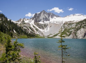
For the adventurous backpacker looking to get backcountry in central Colorado, the stunning beauty of the Maroon Bells-Snowmass Wilderness cannot be beaten. While the Maroon Bells just outside of Aspen might be the most photographed mountains in North America, the beauty is definitely rivaled by Snowmass Peak, which stands prominently above Snowmass Lake. This is not to be confused with Snowmas...
Hike Chief Mountain, CO
Idaho Springs, Colorado
4.5
4 mi
/ 1100 ft gain
Sitting at 11,709’, Chief Mountain is not one of Colorado’s highest peaks, but the views from this mountain are spectacular nonetheless and rival the views of any 14er I’ve climbed. This mountain sits along Squaw Pass Road so you get the luxury of a high trailhead for this peak.To get there, follow Squaw Pass Road (Colorado 103) which you’ll find along Evergreen Parkway. If you are coming from ...
Goosenecks Viewpoint Trail
San Juan County, Utah
1.86 mi
/ 66 ft gain
For a small entrance fee of $5, you have the chance to photograph a beautiful canyon view without having to hike miles and days to get to it. Enjoy this rare luxury! There is a pavilion with a picnic table for dinner while you wait for the sunset, and there are also bathrooms if you need them.
There is a trail along the canyon rim that will allow you to explore multiple angles and find just...
Hike to the top of Offersøykammen
Vestvågøy, Norway
3 mi
/ 1600 ft gain
Like many of the hikes on the Lofoten Islands, there is no official trail or trailhead for this hike. To find it, take the E10 highway out of Leknes toward Å for about 6.5km. Keep your eyes pealed for a small trail on the north side of highway, and there is room for 3-4 cars to park on the side of the road here. If you make it to the tunnel, you’ve gone to far. This location marks the trail, an...
Climb Mt. Sneffels via the Southwest Ridge
Ouray County, Colorado
4.5
3 mi
/ 1800 ft gain
There is a great description of this trailhead here: Hike Mount SneffelsThe SW Ridge route of Mt Sneffels is a Class III scramble in the Mount Sneffels Wilderness area of the San Juan Range located between Ouray and Telluride, Colorado. This route is 3 miles RT with 1,800 feet of elevation gain from the upper trailhead, or 6.5 miles RT with 3,000 feet of elevation gain rom the lower trailhead ...
Community
© 2023 The Outbound Collective - Terms of Use - Privacy Policy

