Sarah Horn Explorer
Out there getting wind blown, shaking out the fear and tripping around trails.
Hike the Rampart Ridge Trail to Wonderland Trail Loop
Ashford, Washington
6 mi
/ 1870 ft gain
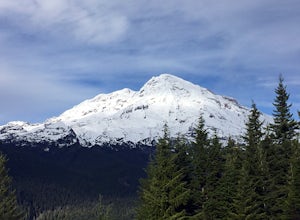
This is a wonderful loop to do that avoids some of the crowds on the flatter trails and gives you an amazing view of the mountain. Park in the Longmire parking lot where the National Park Inn and Longmire Museum are. Walk across Paradise Rd E to join up with the Trail of the Shadows. Head north on the trail, which takes you the long way around the loop to meet up with the Rampart Ridge Trail. A...
Hike to Warrior Rock Lighthouse
Portland, Oregon
4.0
6 mi
/ 100 ft gain
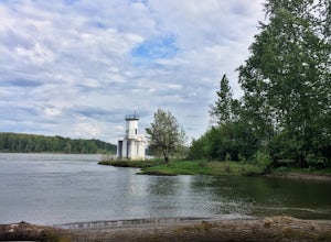
This is a perfect easy hike close to Portland on Sauvie Island that offers more than just a walk through a forest. At the end of the 3 mile trail is a long secluded beach and the Warrior Rock Lighthouse. This has become one of my favorite go-to runs on a summer weeknight evening or for a quieter place to spend lounging on a summer weekend. Dogs are allowed on leash.
Like most of Sauvie Island, ...
Relax at Nyang Nyang Beach
Kuta Selatan, Indonesia
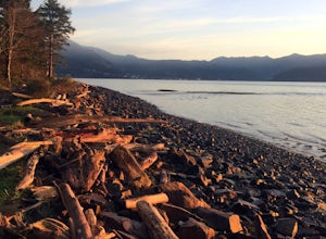
Nyang Nyang Beach is one of those secret-feeling beaches that we all want to find. Once you get to the parking area you walk down a steep dirt road for about a half mile. There aren't any warungs down at the beach so bring snacks and drinks, although there is one where you park to stock up on cold drinks. Do some good and bring plastic bags with you to clean up some of the trash that inevitably...
Misery Ridge Loop
Terrebonne, Oregon
5.0
2.57 mi
/ 774 ft gain
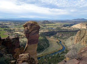
This hike takes you on a tour of the park, starting out with a steep climb up to the top of the formations and then back down past Monkey Face and to the canyon floor.
It's a very popular place so if you're hoping for solitude start early -- the light on the rock walls will be worth rising early.
You'll start the hike at the Smith Rock Trailhead and then the main trail down to the Crooked R...
Explore Bayocean Peninsula Park
Tillamook, Oregon
5.0
8 mi
/ 100 ft gain
Located just west of Tillamook on the way to Cape Meares is an expansive forested park that juts out into Tillamook Bay. The main "trail" is an old unpaved narrow road called Bayocean Dike Road that stretches 4 miles down to the point. It's perfect for a long run, leisurely hike or mountain biking. There are multiple trails that branch off of Bayocean and head into the forest. If your goal is t...
Hike Whitefish Mountain via the Danny On Trail
Whitefish, Montana
5.0
7.6 mi
/ 2250 ft gain
The Danny On Trail starts from the base area of Whitefish Mountain Ski Resort and zig zags its way up to the summit. The trailhead is near the Chalet building/Hellroaring Saloon upper parking lot (there's a big sign). The trail passes through Douglas fir, western larch, spruce and fir trees. The sloping fields of grass and wildflowers in summer, spring and fall are covered with snow and shredde...
Explore the Portland Japanese Garden
Portland, Oregon
4.0
2 mi
/ 50 ft gain
While the Portland Japanese Garden is a popular place for tourists, it's also a favorite for Portland residents as it's located right in Washington Park close to trails and across from the Rose Garden. The Japanese Garden also just unveiled its Cultural Crossing expansion in April 2017, which included 3.4 more acres to the garden and modern buildings designed by famous architect Kengo Kuma. The...
Hike to Coldwater Peak via Boundary Trail
Toutle, Washington
5.0
14.8 mi
/ 2700 ft gain
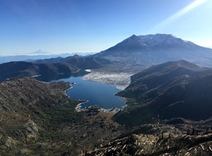
The Boundary trail is amazing. It's 54 miles long and runs for the most part along a ridge in Gifford Pinchot National Forest. You can climb various peaks and viewpoints right off the trail, but this trip report is for climbing Coldwater Peak and hiking up to Harry's Ridge Viewpoint on the way. Harry's Ridge is the nearest tallest viewpoint from Johnson Ridge Observatory (2 mile round trip from...
Hike the Elkhorn Crest Trail
Baker City, Oregon
30 mi
/ 1500 ft gain
The Elkhorn Crest Trail runs along the Elkhorn Ridge of the Blue Mountains in Eastern Oregon. From this ridge you can scramble of multiple peaks, including the highest in the ridge: Rock Creek Butte (9,106 ft) and Elkhorn Peak (8,931 ft). For the peakbaggers out there, the Elkhorns contain 13 of the Top 100 highest peaks in Oregon (minimum 500 feet prominence). The Elkhorns are just east of the...
Climb Mt. Shasta via the Hotlum-Bolam Ridge
Siskiyou County, California
10 mi
/ 7200 ft gain
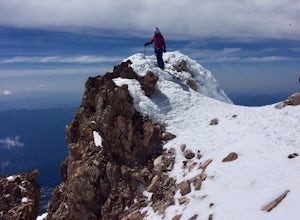
The Hotlum-Bolam route follows the ridge between the Hotlum and Bolam Glaciers on Shasta's north side. It's an intermediate route that isn't much more technical than the south side routes, except for icy sections and possible late-season open crevasses. For this reason it's a popular alternative to Avalanche Gulch for climbers with a bit more experience handling steep snow and ice looking to es...
Schulman Grove and Methuselah Grove Loop
Inyo County, California
5.0
5.14 mi
/ 1070 ft gain
The Schulman Grove and Methuselah Grove Loop in the Ancient Bristlecone Pine Forest, located in the White Mountains, is where the 4,847-year-old Methuselah tree grows, the oldest living non-clonal organism in the world. If you're going to make hiking the Methuselah Grove more than a day trip and get in some more touring of the White Mountains, you can stay at the Grandview Campground. The campg...
Hike the Labyrinth-Coyote Wall Loop
498 Old Highway 8, Washington
Sadly because of the devastating Eagle Creek fire on the Oregon side of the Gorge, most of the trails are closed for restoration. As a result more hikers are heading to the Washington side and heading further east for Gorge day hikes. Heading east gets you some sunnier skies and prime wildflower blooms.
This 7.3 mile loop takes you through the busy Coyote Wall area, but starts on a much quieter...
Backpack to Ruby Lake
Bishop, California
5.0
4 mi
/ 1000 ft gain
At 10,200 feet, the trailhead (Little Lakes Valley) for Ruby Lake is one of the highest (if not the highest) in the Sierra. Meaning you get right to the heart of the mountains quickly. Ruby Lake itself is at 11,200 feet elevation.How to get there: At Tom's Place off of Hwy 395, turn southwest into the range on the Rock Creek Road, head 10.5 miles until the road ends at Mosquito Flat.You start t...
Hoyt Arboretum Loop
Portland, Oregon
1.4 mi
/ 148 ft gain
Founded in 1928 to conserve endangered species and educate visitors, Hoyt Arboretum is a 190-acre park in the forest above Portland's NW area. It's only 15 minutes from downtown!
There are 12+ miles of trails to explore, my favorite is the Redwood Trail that takes you through towering redwoods and to the Redwood Deck -- a perfect place to sit and smell the trees and drink morning coffee.
Here...
Snowshoe/Ski Bennett Pass Sno Park
National Forest Development Road 3550, Oregon
5.1 mi
/ 900 ft gain
With easy parking right off Hwy 35 on the east side of Mt Hood, Bennett Pass is a perfect destination for a straightforward lap on cross country skis, snowshoes or accessing easy backcountry terrain for skiers and boarders.
Bennett Pass Road is a well-graded 5.1 mile out-and-back with several trails branching off of it farther out. Dogs are allowed on leash. This trail starts in the sno-park o...
Explore Fort Canby and Cape Disappointment Lighthouse
Ilwaco, Washington
5.0
1.5 mi
/ 500 ft gain
Cape Disappointment State Park is nearly 2,000 acres of old growth temperate forest located at the mouth of the Columbia River that contains lakes, coves, two lighthouses, and military forts. One of the forts and lighthouses is Fort Canby and Cape Disappointment lighthouse, which date back to the Civil War Era.The out and back hike ends at the lighthouse and along the way you'll come across For...
Run the Saltzman Road Trail
Portland, Oregon
4.5
6 mi
/ 700 ft gain
This trail is an easy out and back from either the west or east side of Forest Park. The east trailhead is off NW Skyline Blvd, on Saltzman Road, which is a dirt/gravel road like the trail. You'll park near the gates where there aren't No Parking signs up (the land around the trail at this point is privately owned so respect the signs). If you start at the east side, you'll park at the Lower Sa...
Community
© 2023 The Outbound Collective - Terms of Use - Privacy Policy

