Joshua ContoisExplorer
Park Ranger currently working for the Desert NWRC. Restless by nature, Josh has traveled across the American west in search of new adventures. When not out exploring new trails or sleeping under the stars, you can find him in your local brewery.
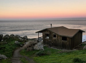
Camp Out in the Steep Ravine Cabins
Stinson Beach, California
5.0
Although these cabins are bare bones, lacking both water and electricity, they couldn't put you in a better spot for views of the Pacific Ocean. From your cabin, you can enjoy amazing sunsets, possible whale watching, and access to trails like the cabins' namesake, Steep Ravine Trail.
The cabins are located close to the parking lot and restrooms (clean but no showers). To access the parking are...
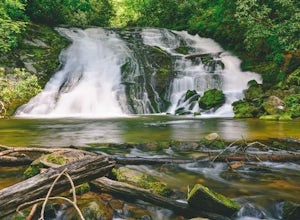
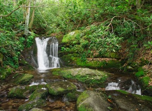
Tom Branch and Indian Creek Falls
Bryson City, North Carolina
4.5
1.76 mi
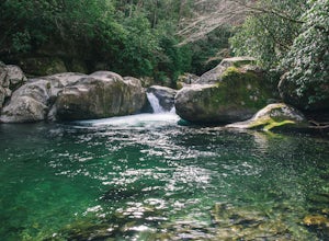
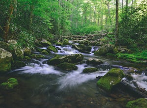
From the Deep Creek Trailhead, you can hike to both waterfalls heading up the Deep Creek Trail. You will come across Tom Branch Falls quickly, after 0.2 miles. Once you've had your fill of Tom Branch, head further along the Deep Creek Trail for another 0.5 miles. Turn right on the Indian Creek Trail and hike for 0.1 miles until you reach Indian Creek Falls.
On your return, you can head back ...
Hike the Cucumber Gap and Little River Loop
Gatlinburg, Tennessee
4.0
5.5 mi
/ 800 ft gain
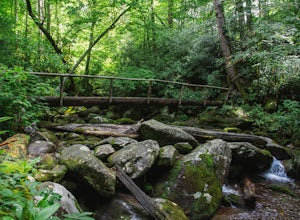
This loop offers a scenic 2.5 mile hike next to the river before looping back around via the Cucumber Gap Trail. At the tail end, you'll connect with the Jakes Creek Trail for about 0.7 miles to return you back to the parking lot.
Many people hike this trial clockwise, but if it's a hot day, it's not a terrible idea to go counter-clockwise to get some of the tougher terrain out of the way fir...
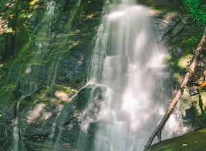
Hike the Juney Whank Falls Loop
Bryson City, North Carolina
4.0
0.65 mi
/ 150 ft gain
Starting at the Deep Creek Trailhead, take a short walk until the trail meets up with Juney Whank Falls Trail. From here, hang a left and head onto the Juney Whank Falls Trail. Once you've reached the falls, continue the loop to get back to the trailhead.
The falls are said to be named after Mr. Junaluska "Juney" Whank who is believed to be buried in the area.
Please no dogs on this trail.
Stuart Fork Trail to Emerald and Sapphire Lakes
Trinity Center, California
5.0
27.06 mi
/ 4213 ft gain
The trail begins just past the Trinity Alps Resort, a private collection of cabins near Weaverville, CA. Hikers wanting an early start can spend the night at the Bridge Camp Campground, located next to the trailhead.
The path starts out wide and level, following an old road to the wilderness boundary at Cherry Flat. From here, the trail gradually ascends, paralleling the Stuart Fork as it head...
Hike the Boy Scout Tree Trail
Crescent City, California
5.0
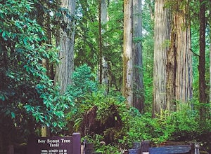
With a profusion of titanic trees and an ever expanding landscape, the extraordinary Boy Scout Tree Trail is not so much a hike as it is a showcase of the world's most scenic old growth redwoods. Located within Redwood National and State Parks, this pristine trail feels wonderfully remote. Hardly anywhere is it possible to hike through old growth redwoods for over five miles without hearing any...
Devil's Punchbowl, Six Rivers National Forest
Crescent City, California
4.0
8.33 mi
/ 1660 ft gain
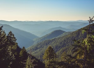
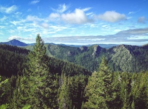
Located in extreme Northern California, the Siskiyou Mountains are the largest sub-range of the Klamath Mountain range and among the most rugged. The Siskiyou Wilderness, designated in 1984, encompasses three national forests: Siskiyou, Klamath and Six Rivers for a total of 182,802 acres. Because it is geologically young, the area saw minimal glaciation during recent ice ages and as a result, t...
Damnation Creek Trail
Klamath, California
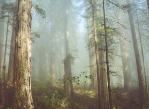
Located right on Highway 101, the Damnation Creek Trail is one of the best trails in Redwood National and State Parks. What makes this trail so special is that the hiker gets to experience nearly all of the various ecosystems within the park in only a few short miles. The trail descends from an almost homogeneous redwood stand, to mixed redwood and Douglas fir, and eventually to a pure Sitka sp...
Hike to Mouse Creek Falls
Newport, North Carolina
5.0
4.2 mi
/ 605 ft gain
Follow Big Creek Trail on a moderate climb to this 45-foot waterfall. Around 1.3 miles in, you will begin to hike alongside Big Creek, and shortly afterwards you will pass Midnight Hole, a particularly deep pool. There are a number of other small falls en route. In spring you should see a number of wildflowers, too.
The side trail to Mouse Creek Falls appears about 2 miles into the hike. The a...
Hike to Fourmile Basin Lakes
Anaconda, Montana
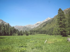
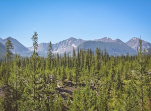
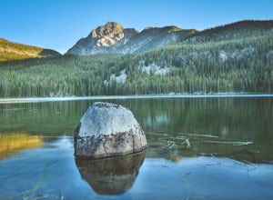
Distance: 8 miles round-tripTime: 4 hoursDifficulty: Easy to ModerateTrailhead: 46.135170, -113.207803From MT-1, follow the signs for Trail 44 along Twin Lakes Creek Road until it ends. The trail begins at the end of the road.The area is largely second-growth forest, having been cut several times as recently as 20 years ago. Most of the trail is actually former logging roads. As you gain elevat...
Explore Stout Grove via the Howland Hill Road
Crescent City, California
4.4
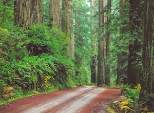
The Howland Hill Road is the premier drive through Redwood National and State Parks. Approximately 6 miles long, the hard-packed gravel road varies in surface durability depending on season and when the road was last graded. Expect plenty of dust in the dry summer months and keep an eye out for potholes. On the whole, the road is suitable for all standard passenger vehicles. Please keep in mind...
Backpack to Raspberry Lake
Del Norte County, California
1.0
12 mi
/ 1800 ft gain
If you wish to experience the beauty of the Siskiyou Wilderness and avoid the crowds associated with The Devil’s Punchbowl, then consider a visit to Raspberry Lake. Beginning at the Young’s Valley Trailhead (Coordinates: 41.889919, -123.654755), this hike is a great option for those seeking wide mountain views and plenty of fresh air. Starting at 5,400 feet, the trail is a prime example of sub...
Kephart Prong Trail, Great Smoky Mountains NP
Bryson City, North Carolina
5.0
3.92 mi
/ 850 ft gain
Kephart Prong is a pretty easy hike in close proximity to the Visitor Center on the North Carolina Side of GSMNP. 2 miles up the trail, you'll arrive at Kephart Shelter, where you can rest and enjoy vies of the Kephart Prong. Once you've had your fill, head back down the way you came.
During the rainy months, you'll see small streams form near the trail that flow into the Kephart Prong. You m...
Maddron Bald - Albright Grove Loop
Cosby, Tennessee
6.72 mi
/ 1500 ft gain
Hidden in the eastern reaches of Great Smoky Mountains National Park, the Cosby region receives a fraction of the visitation of Gatlinburg or Cherokee. This section of the park preserves some of the best deciduous old-growth forest in the eastern United States. Individual tulip trees and eastern hemlocks reach monstrous proportions in these secluded mountain watersheds.
Beginning at the gate, ...
Hike to the Hidden Forest Cabin
Las Vegas, Nevada
11.37 mi
/ 2110 ft gain
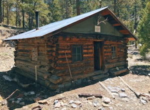
Straddling the Mojave and Great Basin Deserts, the Desert National Wildlife Refuge protects a wide variety of ecosystems across a diverse landscape. The refuge was established in 1936 in order to provide habitat for the desert bighorn sheep and other desert wildlife. Today, it is the largest wildlife refuge outside of Alaska. All told, it protects hundreds of different species of plants & a...
Backpack the Warren Pass Loop
Anaconda, Montana
12 mi
/ 2000 ft gain
Often overlooked due not to its lack of scenery, but rather because of its proximity to both Yellowstone and Glacier National Parks, the Anaconda-Pintler Wilderness in southwest Montana is a haven for hikers and backpackers seeking a true wilderness experience. Established in 1964, the area straddles the Continental Divide of the Anaconda mountain range. In fact, the 45-mile stretch of the Cont...
Photograph the Falls at Lost Creek State Park
Anaconda, Montana
5.0
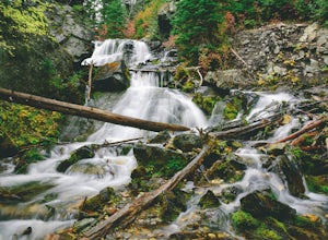
Drive along the park road until the road loops back near the campground. Park in any available space. From here, the falls are a short, 200 yard walk down a paved trail. Be sure to wear slip resistant shoes that you don't mind getting wet.After photographing the falls, be sure to follow the trail (a former Forest Service road) for a mile or two to truly experience this subalpine park. If you're...
Hike to the Ramsey Cascades
Gatlinburg, Tennessee
4.9
7.83 mi
/ 2190 ft gain
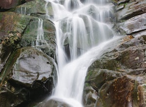
This multi-tiered waterfall is known as the tallest in the park – a worthwhile reward for the steep and sometimes tricky terrain you'll face on the way up.
The popular route to the falls also passes through an impressive old-growth forest, which apparently boasts some of the tallest trees in the park. You will also see smaller waterfalls and pools along the way.
Keep in mind that about 2 mile...
Community
© 2023 The Outbound Collective - Terms of Use - Privacy Policy

