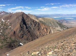
The Best Backpacking in Bridgeport
Looking for the best backpacking in Bridgeport? We've got you covered with the top trails, trips, hiking, backpacking, camping and more around Bridgeport. The detailed guides, photos, and reviews are all submitted by the Outbound community.
Top backpacking spots in and near Bridgeport
-
Bridgeport, California
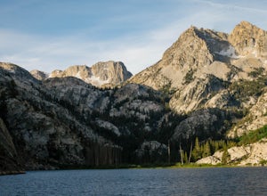
Hike to Peeler Lake
11 mi / 2400 ft gainThis trip can be done as a day trip or backpacking trip. It is around an 11 mile out-and-back trip.Park at Twin Lakes in Bridgeport, CA. There is a $10 fee and it can take a while on busy weekends. A permit is required to stay overnight in Hoover Wilderness. The trailhead can be hard to find; it ...Read more -
Bridgeport, California
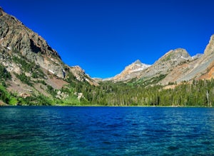
Backpack to Green Lake and Virginia Pass
17 mi / 4452 ft gainDay 1 Green Creek Trailhead to Green Lake When we went on this hike, it was primarily to explore the area and see if it would be a feasible entrance to Northern Yosemite for extended backpacking trips. However, it also is a great two night trip to a lovely area of the Hoover Wilderness. Best...Read more -
Bridgeport, California
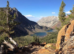
Twin Lakes to Peeler Lake
15.76 mi / 2923 ft gainTwin Lakes to Peeler Lake is an out-and-back trail where you may see wildflowers located near Bridgeport, California.Read more -
Lee Vining, California
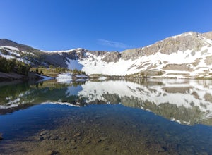
Backpack Virginia Lakes to Green Creek
10.5 mi / 1234 ft gainKeep in mind that this is a point to point hike, so you will need to park a vehicle at Green Creek trailhead in Bridgeport as well as your start point at Virginia Lakes Resort.Starting at 9,886' at The Virginia Lakes Trailhead, you will begin by heading Northwest towards Virginia Pass. During yo...Read more -
Mono County, California
Leavitt Lake in Stanislaus National Forest
4.07.44 mi / 1385 ft gainSituated on the eastern edge of Emigrant Wilderness, Leavitt Lake is a great introduction to backpacking in the Sierra Nevada. Leavitt Lake is located at the end of Forest Service Route 077 off of Highway 108. It is actually possible to drive to Leavitt Lake, but a high clearance vehicle is requi...Read more -
Lee Vining, California
Twenty Lakes Basin and Saddlebag Lake Loop
7.8 mi / 804 ft gainTwenty Lakes Basin and Saddlebag Lake Loop is a loop trail that takes you by a lake located near Lee Vining, California.Read more -
Lee Vining, California
Twenty Lakes Basin Loop Trail
7.81 mi / 915 ft gainTwenty Lakes Basin Loop Trail is a loop trail that takes you by a lake located near Lee Vining, California.Read more -
Lee Vining, California
Conness and Cascade Lakes from Saddlebag Lake
6.09 mi / 1070 ft gainConness and Cascade Lakes from Saddlebag Lake is an out-and-back trail where you may see local wildlife located near Lee Vining, California.Read more -
Lee Vining, California
Camp at Junction Campground, Mono County
Junction campground is by far one of my favorite campsites when I am visiting the High Sierra and Tuolumne Meadows. The only downside is, you can only camp certain months; usually from June through October when highway 120 is open. The Junction campground is far away from the crowds of Yosemite ...Read more -
Arnold, California
PCT: CA Section J - Sonora Pass to Echo Lake
73.27 mi / 11811 ft gainPCT: CA Section J - Sonora Pass to Echo Lake is a point-to-point trail where you may see wildflowers located near Coleville, California.Read more -
Highway 108, California
Backpack to Blue Canyon Lake
5.03.6 mi / 1280 ft gainTrailhead Coordinates: 38º 19'08.46"N 119º39'49.26"W Elev 8897ftThe trail is kind of tricky to find. It is West of the PCT trailhead at Sonora Pass and it is not marked. You park along the side of Hwy 108 and scramble down an embankment where a creek flows at the bottom. Cross this creek and you ...Read more -
Arnold, California
Sonora Peak Trail
6.41 mi / 2073 ft gainSonora Peak Trail is a loop trail that takes you by a waterfall located near Coleville, California.Read more -
Coleville, California
Hike to Tamarack Lake, Carson-Iceberg Wilderness
4.010 mi / 2000 ft gainThe trailhead begins at the end of Golden Gate Rd in Coleville, Ca on highway 396. There are very limited signs, so maps are necessary! Depending on how fast of a hiker you are, you can most likely reach the lake in 6 hours with minimal breaks. If you cannot start in the morning, there are beauti...Read more -
Coleville, California
Llewellyn Falls Loop Trail
13.77 mi / 2762 ft gainLlewellyn Falls Loop Trail is a loop trail that is moderately difficult located near Topaz, California.Read more -
Tuolumne County, California
Backpack the Lyell Loop
31 mi / 5600 ft gainStart the hike at the Mono pass trail. You'll eventually take the fork towards Parker Pass a couple miles in. We tackled the trail in late spring, and it quickly became clear that there was still enough snow to make our lives difficult. As we climbed out of the Parker drainage, the trail essenti...Read more -
Tuolumne County, California
Backpack over Koip Peak Pass
19 mi / 2500 ft gainThis trip begins in Yosemite National Park and can be completed as an out-and-back or by hiking one-way to the Ansel Adams Wilderness and exiting at Silver Lake on the east side of the mountains. Start at the Mono/Parker Pass trailhead, a few miles past Tuolumne Meadows. Don't forget to make a pe...Read more

