The Best Backpacking in Furnace Creek
Looking for the best backpacking in Furnace Creek? We've got you covered with the top trails, trips, hiking, backpacking, camping and more around Furnace Creek. The detailed guides, photos, and reviews are all submitted by the Outbound community.
Top backpacking spots in and near Furnace Creek
-
Inyo County, California
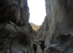
Cottonwood-Marble Canyon Loop
30.24 mi / 4744 ft gainCottonwood-Marble Canyon Loop Trail is a loop trail where you may see beautiful wildflowers located near Death Valley, California.Read more -
Inyo County, California
Backpack Fall Canyon
8 miThe trail head is north of Furnace Creek at the Titus Canyon parking lot which is clearly marked on any park map. On a busy weekend cars are lined up along the road leading to the parking lot which has a restroom. Note that there is no water source here. To begin the hike in, take the trail on th...Read more -
Inyo County, California
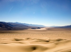
Panamint Dunes
5.07.23 mi / 935 ft gainYou can do this as a day trip and just wander the dunes, but I really enjoyed the overnight with great evening views, amazing stargazing, and a sunrise exploration of the sand dunes. For an overnight trip I recommend you start hiking later in the day, when the temperature is a bit cooler. If you...Read more


