The Best Backpacking in Ojai
Looking for the best backpacking in Ojai? We've got you covered with the top trails, trips, hiking, backpacking, camping and more around Ojai. The detailed guides, photos, and reviews are all submitted by the Outbound community.
Top backpacking spots in and near Ojai
-
Ojai, California
Shelf Road Trail
3.52 mi / 338 ft gainShelf Road Trail is an out-and-back trail that takes you past scenic surroundings located near Ojai, California.Read more -
Ojai, California
Sespe River Trail to Willett Hot Springs
20.19 mi / 2513 ft gainSespe River Trail to Willett Hot Springs is a point-to-point trail that takes you by a hot springs located near Ojai, California.Read more -
Ojai, California
Sespe River Trail To Sespe Hot Springs
15.13 mi / 1696 ft gainSespe River Trail To Sespe Hot Springs is a point-to-point trail that takes you by a hot springs located near Ojai, California.Read more -
Ojai, California
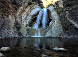
Matilija Falls
5.04.84 mi / 950 ft gain...If you've read most of my blogs, you'll probably notice I have a fascination for waterfalls! I've done this hike multiple times, but it wasn't until this day where I saw these falls truly in action and what they're meant to look like. Getting here, you'll drive 13.4 miles north on highway 33 f...Read more -
Ventura, California
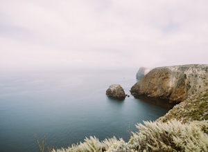
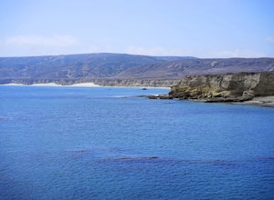
Hike to Cavern Point & Potato Harbor
5 miTucked away in the Pacific Ocean just 25 mile from the coast, the Channel Islands are one of Southern California’s hidden gems. With towering cliffs and isolated beaches that hug the coast, this place makes you feel worlds away from home. Channel Islands National Park is comprised of five islands...Read more -
Ventura, California
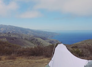
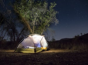
Camp at Scorpion Ranch, Channel Islands NP
4.00.5 miAccessible only by Ferry, this little known national park is a backpackers dream. You can catch the ferry out of Ventura or Santa Barbara, only a short distance from LA. The ride to the island is around 1 hour.We chose to take Island Packers Ferry out of Ventura to Santa Cruz Island. The ferry le...Read more -
Ventura, California
Backpack to Del Norte Campground on Santa Cruz Island
5.07 mi / 700 ft gainDel Norte Backcountry Campground is located on Santa Cruz Island, one of the islands that makes up Channel Islands National Park. It is California's largest island and is almost three times the size of Manhattan. The easiest way to get to the island is to take Island Packers, a ferry service that...Read more -
Ventura, California
Camp at the Water Canyon Campground in the Channel Islands NP
1.5 miYou can get a wonderfully detailed description of what to expect from the Channel Islands/Santa Rosa Island and how to get there from fellow Explorer Michael Wigle's "Beach camp on Santa Rosa Island" adventure (which I highly recommend you check out for the information and the photography https:/...Read more -
Maricopa, California
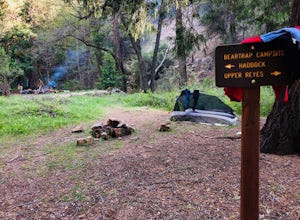
Backpack to Bear Trap Campground
4.8 mi / 1200 ft gainThere's no better feeling then camping out and having a whole site to you and your friends...wouldn't you agree?!?! ...Deep in the Sespe Wilderness in Ojai, California sits a tucked away, well-managed campsite called "Bear Trap Campground". This campsite can be reached at any point of the year an...Read more -
Maricopa, California
Deal Trail
11.14 mi / 1581 ft gainDeal Trail is an out-and-back trail that takes you by a river located near Ojai, California.Read more -
Montecito, California
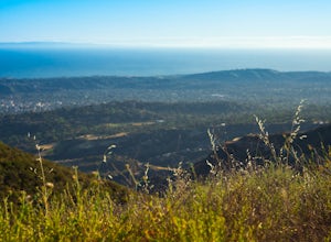
Hike the West Fork of Cold Spring
If you love the mountains above Santa Barbara but hate the crowds, stick to the canyon trails on the east side. The trails running up Cold Spring canyon offer a variety of experiences without all the noise.To find the West Fork of Cold Spring Trail, take the Olive Mill Rd. exit from the 101 freew...Read more -
Frazier Park, California
Condor Summit and Vincent Tumamait Trail
9.45 mi / 2129 ft gainCondor Summit and Vincent Tumamait Trail is an out-and-back trail where you may see local wildlife located near Frazier Park, California.Read more -
Malibu, California
Santa Monica Mountains Backbone Trail
64.18 mi / 12910 ft gainSanta Monica Mountains Backbone Trail is a point-to-point trail where you may see wildflowers located near Malibu, California.Read more -
Malibu, California
Backpack to the La Jolla Valley Walk-In Camps
5.010 miHello Friends! I just took a really chill overnight backpacking trip to the La Jolla Valley Backcountry campsite and I’m going to give you some details so you can have as nice of an outing as I did!The trailhead is conveniently just off of the Pacific Coast Highway, across the street from the Tho...Read more -
Frazier Park, California
Mount Pinos via McGill Trail
4.015.99 mi / 3196 ft gainMount Pinos via McGill Trail is an out-and-back trail that provides a good opportunity to view wildlife located near Frazier Park, California.Read more -
Westlake Village, California
Backbone Trail: Mishe Mokwa to Ray Miller
16.46 mi / 2323 ft gainBackbone Trail: Mishe Mokwa to Ray Miller is a point-to-point trail where you may see wildflowers located near Newbury Park, California.Read more


