The Best Backpacking in Montana
Looking for the best backpacking in Montana? We've got you covered with the top trails, trips, hiking, backpacking, camping and more around Montana. The detailed guides, photos, and reviews are all submitted by the Outbound community.
Top backpacking spots in and near Montana
-
Browning, Montana
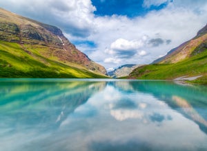
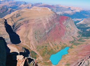
Cracker Lake
5.012.71 mi / 2001 ft gainThe 6.1 mile (12.2 roundtrip), hike to Cracker Lake includes wooded forests, grand views of lakes and mountains, creek crossings, distant waterfalls, mining ruins, possible wildflowers and wildlife, and a swim in turquoise water. At 1400ft elevation gain, the trail never gets too taxing. The view...Read more -
Seeley Lake, Montana
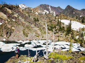
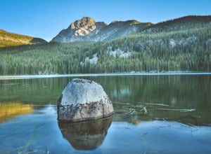
Hike to Turquoise Lake
5.012.2 mi / 1500 ft gainFrom Hwy 83 in the Swan Valley, south of mile marker 38, turn west onto Kraft Creek Rd also called Forest Service Road #561, the trailhead is about 11.5 miles at the end of the road. Turquoise Lake trail #708 starts 3 miles up the Glacier Creek trail #690. Total hiking distance to Turquoise lake...Read more -
Big Timber, Montana
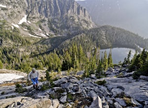
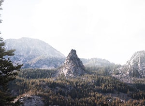
Crazy Peak Scramble
4.5Do you like high alpine scrambles? Climbing exposed spires? Partying on a mountain top?If you said yes to any of the above, head to Big Timber Montana and prepare for a great time. Crazy Peak is an epic highpoint within the Crazy Mountains, located in southwestern Montana. Although this hike can ...Read more -
West Glacier, Montana
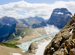
Granite Park Chalet via Highline Trail
4.511.49 mi / 1950 ft gainThe trailhead for the Highline Trail is located near the west side of Logan's Pass. Parking is limited at the Pass so arriving early to guarantee a spot, or taking a park shuttle (no fee) is suggested. The shuttles run consistently during the day at different locations throughout the Park. Howeve...Read more -
Browning, Montana
Backpack the Continental Divide in Glacier NP
4.033.4 mi / 5257 ft gainPark your car at the Two Medicine North Shore Trailhead, and take a National Park Shuttle (if they are running during the season--they stop around Labor Day in September) or set up a private shuttle service to St. Mary and the Red Eagle Trailhead (only ~$10-20 bucks a person).The first day from t...Read more -
Darby, Montana
Backpack to Little Rock Creek
9 mi / 1780 ft gainLittle Rock Creek is one of the Bitterroots' best kept secrets. In late spring, the glacier lilies are in full bloom, and sprinkle the valley floor. At that time of year, there may also be quite a bit of snow on the ground, which will require some bushwhacking to stay on the trail.Little Rock Cre...Read more -
Gallatin Gateway, Montana
Hike to Lava Lake
5.06 mi / 1600 ft gainThe 6 mile round trip to Lava Lake is a steady climb that runs beside Cascade Creek through the Lee Metcalf Wilderness. The trail starts at the Gallatin River and continues upward through dense evergreen forest. There are no confusing intersections but is quite rocky and considered to be moderate...Read more -
Kalispell, Montana
Hike to Summit of Mount Aeneas
4.86 mi / 1700 ft gainThis hike can easily be overlooked since it is in such a geographically rich area, with Glacier National Park and the Bob Marshall Wilderness so close, but it is absolutely a hidden gem that doesn't get enough attention. Mount Aeneas sits at just over 7,500 feet and from the summit it gives amazi...Read more -
Roscoe, Montana
Backpack to Rainbow Lake via the East Rosebud Trail
3.016 mi / 1600 ft gainAlso known as "The Beaten Path", the East Rosebud Trail is a highly traveled and well maintained trail with amazing views and a handful of lakes along the route. The trail is ultimately 26 miles long and places you near Cooke City. Rainbow Lake is located 7 miles from the trailhead and is a perfe...Read more -
Gallatin Gateway, Montana
Hike to Golden Trout Lakes
4.05 mi / 1300 ft gainThe Golden Trout lakes offer a scenic getaway just out of the Gallatin Valley Canyon. To access the trail head, turn east onto Portal Creek Road #984 and continue southeast for 6.8 miles. The road is in rough condition and is better suited for vehicles with a higher clearance. The trail head is e...Read more -
Browning, Montana
Hike Mount Siyeh
5.08.45 mi / 4209 ft gainOnce the Going-To-The-Sun Road has opened fully, this massive peak is accessible by driving to Siyeh Bend on the east side of the Logan Pass Visitors Center. Plan on a sun up to sun down adventure. Choose a sunny summer day and head up to hit the trail! Park at Siyeh Bend, and start on the Pie...Read more -
Anaconda, Montana
Hike the Johnson Lake Loop
16 mi / 3160 ft gainDay 1: After pulling into the Middle Fork parking lot, there will be two trailheads. Sign in at either one, but I started at TH 28 to head directly to Johnson Lake. A gradual climb passes beautiful waterfalls and recovering burn scars dotted with flowers. To Johnson Lake is 5.2 miles with an ele...Read more -
Fishtail, Montana
Backpack the Beartooths via the West Rosebud Trail
22.69 mi / 6795 ft gainThe West Rosebud Trail functions as one of the major routes to Granite Peak, the highest point in Montana. The trailhead (6,558') is located approximately 80 miles south of Billings in the Beartooth Absaroka Wilderness. The road to the trail passes Emerald and West Rosebud Lakes just before arriv...Read more -
Anaconda, Montana
Backpack the Warren Pass Loop
12 mi / 2000 ft gainOften overlooked due not to its lack of scenery, but rather because of its proximity to both Yellowstone and Glacier National Parks, the Anaconda-Pintler Wilderness in southwest Montana is a haven for hikers and backpackers seeking a true wilderness experience. Established in 1964, the area strad...Read more -
Gallatin Gateway, Montana
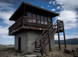
Hike to Garnet Mountain Lookout
5.07.7 mi / 2800 ft gainStarting in Bozeman, travel south of Gallatin Gateway about 5 miles on Hwy 191 and turn left on to Storm Castle Creek Road. Follow this road for about 3.5 miles until the road ends. At this point, there is a decent sized parking area. The trail is open year round with ATV access and also snowmobi...Read more -
West Glacier, Montana
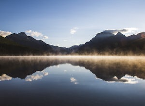
Waterton Lake via Bowman Lake
49.5 mi / 6365 ft gainOur trip started on Thursday evening, spending the night at the Bowman Lake campground. You can park your car here and it's where the hike will start and end. I recommend staying here the night before because day 1 is a doozy, so you'll want an early start. Day 1 is the hardest day of the hike, ...Read more

