The Best Backpacking in Bryce
Looking for the best backpacking in Bryce? We've got you covered with the top trails, trips, hiking, backpacking, camping and more around Bryce. The detailed guides, photos, and reviews are all submitted by the Outbound community.
Top backpacking spots in and near Bryce
-
Bryce, Utah
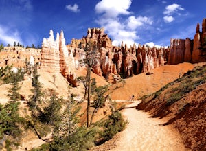
Navajo Loop and Queens Garden Trail
4.92.93 mi / 679 ft gainThere are many many trails that explore the hoodoos of Bryce Canyon and this is just one option of a combination of trails that is about 3.5 miles. The Navajo trail begins at Sunset Point and you head straight down dozens of switchbacks to what is called "Wall Street". It doesn't take long to get...Read more -
Bryce, Utah
Bryce Point to Whiteman Bench Trail
12.95 mi / 3379 ft gainBryce Point to Whiteman Bench Trail is a point-to-point trail where you may see local wildlife located near Bryce, Utah.Read more -
Tropic, Utah
Under the Rim Trail to Swamp Canyon Camp
5.023.79 mi / 5794 ft gainThis trail is just about the only way I would see Bryce Canyon. When we initially drove in it was like we were at Disneyland, with crowds of people everywhere. We soon discovered, however, that very few people enter Bryce Canyon's backcountry. We chose to visit Bryce in July due to it's higher el...Read more -
Panguitch, Utah
Losee Canyon to Casto Loop Trail
13.56 mi / 1417 ft gainLosee Canyon to Casto Loop Trail is a loop trail where you may see local wildlife located near Panguitch, Utah.Read more -
37.475289,-112.240302
Hike Bryce Canyon's Riggs Spring Loop
5.08.71 mi / 2044 ft gainBryce Canyon National Park in Utah is a spectacular place. It really has to be seen to be believed. Some of the most scenic parts of Bryce are easily accessible by the average visitor via car-accessible overlooks. However, if you're not into crowds or want to hike/backpack in Bryce...there are so...Read more -
Kanab, Utah
Lower Hackberry Canyon Trail
11.8 mi / 1716 ft gainLower Hackberry Canyon Trail is an out-and-back trail that takes you by a river located near Kanab, Utah.Read more -
Escalante, Utah
Backpack the Escalante River
14 mi / 400 ft gainThe Escalante River trail is an easily accessible, moderately strenuous hike within Grand Staircase-Escalante National Monument. The national monument encompasses over 2 million acres of wilderness, choc-full of large canyons, narrow slot canyons, rivers, hoodoos, arches, natural bridges and more...Read more -
Escalante, Utah
Escalante River Trail: Escalante to UT-12
12.97 mi / 3373 ft gainEscalante River Trail: Escalante to UT-12 is a point-to-point trail that takes you by a river located near Eggnog, Utah.Read more -
Boulder, Utah
Death Hollow and Escalante River
34.28 mi / 7802 ft gainDeath Hollow and Escalante River is a loop trail that takes you by a river located near Boulder, Utah.Read more -
Boulder, Utah
Backpack Death Hollow in Grand Staircase-Escalante
22 mi / 1600 ft gainThe most popular route into Death Hollow is from the Boulder airstrip near the town of Boulder, Utah. The trailhead for the Boulder Mail Trail begins, or ends here depending on which way you are hiking. Leave a car at the Highway 12 bridge over the Escalante River for the thru hike, or get luck...Read more -
Boulder, Utah
Boulder Mail Trail
15.59 mi / 2303 ft gainBoulder Mail Trail is a point-to-point trail that takes you by a river located near Escalante, Utah.Read more -
Duck Creek Village, Utah
Hike The Narrows: Top Down
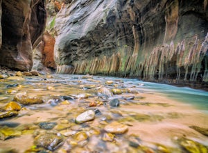
5.015.38 miTHE NARROWS This by far one of the most scenic and awesome hikes available in any National Park. There is no place in Zion National Park more sublime in its beauty and awe inspiring in its creation as you hike through the crystal clear Virgin River and marvel at the myriad of red, orange, yellow...Read more -
Kanab, Utah
Buckskin Gulch Trail to Lees Ferry
45.82 mi / 9442 ft gainBuckskin Gulch Trail to Lees Ferry is a point-to-point trail that takes you by a river located near Marble Canyon, Arizona.Read more -
Kanab, Utah
Buckskin Gulch to Paria River
32.26 mi / 3179 ft gainBuckskin Gulch to Paria River is an out-and-back trail that takes you by a river located near Kanab, Utah.Read more -
Kanab, Utah
Buckskin Gulch to White House Trail
23.02 mi / 1929 ft gainBuckskin Gulch to White House Trail is a point-to-point trail that takes you by a river located near Kanab, Utah.Read more -
Kanab, Utah
Hike through Paria Canyon
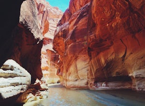
5.014.94 mi / 846 ft gainNo matter how far you plan on hiking, it is ideal to get an early start so you aren’t hiking too long under the desert sun. There is no shade on this hike except for the shadows offered from the steep walls of the canyon, so make sure you bring sunscreen! From the very start, you’ll get your fee...Read more

