The Best Backpacking in Pisgah Forest
Looking for the best backpacking in Pisgah Forest? We've got you covered with the top trails, trips, hiking, backpacking, camping and more around Pisgah Forest. The detailed guides, photos, and reviews are all submitted by the Outbound community.
Top backpacking spots in and near Pisgah Forest
-
Pisgah Forest, North Carolina
Brevard to Asheville
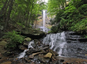
42.25 mi / 8048 ft gainBrevard to Asheville is a point-to-point trail that takes you by a waterfall located near Pisgah Forest, North Carolina.Read more -
Brevard, North Carolina
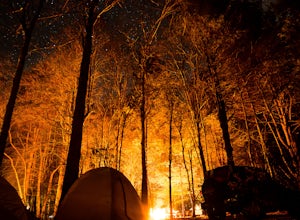
Camp at Davidson River Campground in the Pisgah National Forest
4.5Pisgah National Forest, in my opinion, is one of the best national forests in the United States. Being just a short drive from Great Smokey Mountain National Park it has all the feel of being in the smokies with more to explore. Pisgah has anything you could want to see or do from tens of water...Read more -
Brevard, North Carolina
Art Loeb Trail
4.830.07 mi / 7467 ft gainStart at The Davidson River Campground just outside of Brevard, NC (276 Pisgah Ranger District). Have a shuttle car or a friend waiting at the Daniel Boone Boy Scout camp for the finish line. Hop on the 30.1 mile long Art Loeb Trail at the trailhead in the Davidson River Campground. Pull into th...Read more -
Pisgah Forest, North Carolina
Black Mountain to Pink Beds and Buckwheat Knob
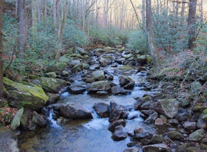
24.87 mi / 5397 ft gainBlack Mountain to Pink Beds and Buckwheat Knob is a loop trail that takes you by a river located near Pisgah Forest, North Carolina.Read more -
Greenville County, South Carolina
Jones Gap and Coldspring Branch to Bill Kimball Trail
9.05 mi / 1913 ft gainJones Gap and Coldspring Branch to Bill Kimball Trail is a loop trail that takes you by a waterfall located near Slater-Marietta, South Carolina.Read more -
Greenville County, South Carolina
Hike the Pinnacle Pass/Rim of the Gap Loop
11.5 mi / 2345 ft gainThe Trailhead: Located at Jones Gap State Park in Marietta, SC of northern Greenville County. Follow the trail across an iron bridge that crosses the Middle Saluda River, and be sure to register at the Ranger’s Station/Gift Shop on the far side of the gap. The trail head(s) are located directly o...Read more -
Greenville County, South Carolina
Hike to Rainbow Falls and Pretty Place
5.05.96 mi / 1844 ft gainJones Gap State Park in the Upstate of South Carolina is one of the most beautiful parks in the state offering a good range of moderate and challenging hiking and backpacking trails through the Mountain Bridge Wilderness Area. Jones Gap also provides superb primitive camping sites along the rocky...Read more -
Greenville County, South Carolina
Jones Gap Loop Trail
10.3 mi / 2215 ft gainJones Gap Loop Trail is a loop trail that takes you by a waterfall located near Cleveland, South Carolina.Read more -
Horse Shoe, North Carolina
Mullinax Trail, Squirrel Gap, Bradley Creek and Laurel Creek Trail
12.45 mi / 2290 ft gainMullinax Trail, Squirrel Gap, Bradley Creek and Laurel Creek Trail is a loop trail that takes you by a river located near Horse Shoe, North Carolina.Read more -
Cleveland, South Carolina
Rim of the Gap Trail to Jones Gap Trail
12.45 mi / 3478 ft gainRim of the Gap Trail to Jones Gap Trail is a loop trail that takes you by a waterfall located near Cleveland, South Carolina.Read more -
Brevard, North Carolina
Looking Glass Rock
4.55.43 mi / 1572 ft gainThis is a really nice, moderately difficult hike along a cascading creek, up switchbacks, and through wildflower fields. A couple miles in, you'll reach a helipad that is used for rescuing injured rock climbers - Looking Glass Rock is a popular destination for world class climbing. There is a sma...Read more -
Brevard, North Carolina
Butter Gap to Art Loeb to Davidson River Trail Loop
11.52 mi / 1906 ft gainButter Gap to Art Loeb to Davidson River Trail Loop is a loop trail that takes you by a waterfall located near Brevard, North Carolina.Read more -
Brevard, North Carolina
Pilot Mountain and Sassafras Knob Loop
6.89 mi / 2156 ft gainPilot Mountain and Sassafras Knob Loop is a loop trail that takes you past scenic surroundings located near Balsam Grove, North Carolina.Read more -
Canton, North Carolina
Skinny Dip Falls
4.81.03 mi / 148 ft gainPark at the Looking Glass Rock Overlook. After enjoying the view of Looking Glass Rock, gear up and head to the right side of the parking area (right side if your back is to the overlook). On the opposite side of the road you'll see a mile marker and a little trail to the left of the marker. Foll...Read more -
Canton, North Carolina
Graveyard Fields-Black Balsam Knob Circuit
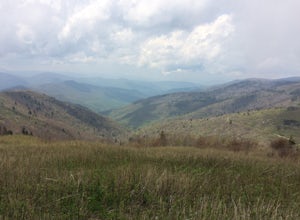
4.49.83 mi / 1522 ft gainWhen the weather is in your favor, these treeless mountain tops will have your jaw on the floor with layers upon layers of Blue Ridge Mountains. This hike can be done in one day, but with panoramic views at multiple points, you'll want to take your time along this link of trails. This ~10-mile l...Read more -
Sunset, South Carolina
Sassafras Mountain to Pinnacle Lake
9.38 mi / 1073 ft gainSassafras Mountain to Pinnacle Lake is a point-to-point trail that takes you by a waterfall located near Sunset, South Carolina.Read more


