The Best Backpacking in Winthrop
Looking for the best backpacking in Winthrop? We've got you covered with the top trails, trips, hiking, backpacking, camping and more around Winthrop. The detailed guides, photos, and reviews are all submitted by the Outbound community.
Top backpacking spots in and near Winthrop
-
Twisp, Washington
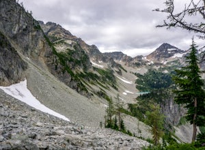
Backpack to West Oval Lake
14 mi / 4100 ft gainThe trail to West Oval Lake begins at the Eagle Creek Trailhead, outside of Twisp, Washington. Follow the Eagle Creek trail for 1.9 miles until the trail splits. Take the left fork for Oval Creek and Oval Lakes. The trail continues winding through thick forest for approximately 4 more miles befor...Read more -
Twisp, Washington
West Oval Lake Trail
15.37 mi / 4177 ft gainWest Oval Lake Trail is an out-and-back trail that takes you by a lake located near Twisp, Washington.Read more -
Winthrop, Washington
Hike to Cutthroat Pass
11 mi / 2300 ft gainLooking for a distinctive high-country hike just east of the pass? Cutthroat Pass is a hearty day hike perfect for gaining elevation and views with every step. It's even more dynamic as a point-to-point, exiting via the Pacific Crest Trail if you have two vehicles. Also great for a one-night back...Read more -
Chelan County, Washington
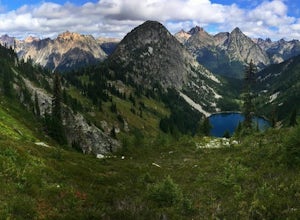
Backpack at Wing Lake (North Cascades)
5.012 mi / 2652 ft gainFrom Rainy Pass, take the trail to Ann Lake (pictured with island and wildflowers). About 1 mile into hike, you'll reach a fork. Take the right trail to Heather Pass. From Heather Pass, take boot trail through talus field to Lewis Lake (pictured with green water and drift wood in foreground). Onc...Read more -
Chelan County, Washington
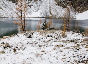
Camp at Snowy Lakes
22 mi / 3550 ft gainTake Hwy 20 to Rainy Pass, and park at the trailhead on the east side of the highway. Begin on the Pacific Crest Trail (PCT), heading towards Cutthroat Pass.The trail winds it's way towards the pass at a gentle grade over 5 miles. As the trail ascends, you'll leave the forest behind as you enter ...Read more -
Pacific Crest Trail, Washington
Summit Black Peak
5.010 mi / 4400 ft gainStarting at the Heather-Maple Pass Loop Trailhead, jump onto the trail that will take you counter-clockwise along the loop. After about 1.25 miles, you will come to a split in the trail, take the right path and continue for just under a mile until you reach Heather Pass. Off to the right there ar...Read more -
Rainy Pass, Washington
Black Peak's South Ridge
3.07 mi / 4700 ft gainStarting at Rainy Pass trailhead, you'll proceed to skirt high above Lake Ann on a marvelously maintained trail. Without realizing you're about to arrive at a pass, you'll come to Heather Pass, where you'll need to take a right. Continuing straight is also a popular hike, especially during peak l...Read more -
Winthrop, Washington
Heather-Maple Pass Loop
5.07.5 mi / 2185 ft gainNote to any hikers taking on this trail, this is a non-repeating trail meaning it goes in a big loop. The trailhead has 2 trail points of entrance. To the right (the pathway that is not paved) is the counter-clockwise route, a little less steep and more scenic at the start. To the left, the trail...Read more -
Okanogan County, Washington
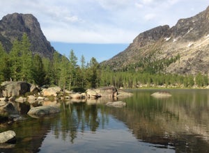
Cathedral Lakes and Amphitheater Mountain
5.037.4 mi / 6493 ft gainLocated in the Pasayten Wilderness and surrounded by Amphitheater Mountain and Cathedral Peak, Cathedral Lakes are a great destination for a multi-day backpacking trip. The shortest route to get Cathedral Lakes (not coming from Canada) is roughly 19 miles. This may be a bit of a "slog" but is def...Read more -
Okanogan County, Washington
Backpack to Remmel Mtn. & Four Point Lake
5.0Remmel Mountain (8685 ft), the former site of a fire lookout, is a massive pile of granite and a wonderful destination for panoramic views of the rugged Pasayten Wilderness. The mountain itself can be accessed from several trailheads and although there are no short routes to the base of the moun...Read more -
Loomis, Washington
Backpack the Pasayten Wilderness via Horseshoe Basin
5.020 mi / 3500 ft gainPlease consult with the Forest Service for current road and trail conditions, especially of your are planning a trip on the fringes of the season, i.e. early spring and late fall, as conditions may change without notice and this trail is a long ways from anywhere. When planning a trip to Horsesho...Read more -
Loomis, Washington
Backpack the Pasayten Wilderness via Iron Gate Trailhead
24 miWe started our adventure at the Iron Gate Trailhead. The trail to begin with was pretty flat for about a mile and then begins to ascend higher and higher making for a bit of a workout. You walk through forests with hints of aspen trees and wildflowers, after that it changes to walking through a v...Read more -
Chelan, Washington
Backpack the Chelan Lakeshore Trail
5.017 mi / 1800 ft gainMake Note: This adventure requires out and back travel via the 'Lady of the Lake' ferry from Chelan, Washington or Field's Point Landing on Lake Chelan. Schedules, fares, and reservations can be made at: http://ladyofthelake.com/The route described herein utilizes the Lake Chelan Lakeshore Trail ...Read more -
Leavenworth, Washington
Spider Meadow Trail
14.13 mi / 2923 ft gainSpider Meadow Trail is an out-and-back trail where you may see local wildlife located near Stehekin, Washington.Read more -
Leavenworth, Washington
Spider Gap to Buck Creek Pass
5.034.4 mi / 8317 ft gainBackpacking the Spider Gap to Buck Creek Pass Loop in the Glacier Peak Wilderness is no easy task, but yields some of the most spectacular views found in Washington. Plan for at least four days in order to stay fresh and to allow for extra time to soak in the Cascadian beauty that assaults your ...Read more -
Leavenworth, Washington
Backpack to Ice Lakes Basin
20 mi / 7600 ft gainBegin your adventure at the Phelps Creek Trailhead, roughly a 4 hour drive from Seattle. Make sure your car has good clearance and traction because the last section of the forest service road gets a little rough. Only a few minutes after starting down the trail, you will reach a split that heads ...Read more

