The Best Backpacking in China
Looking for the best backpacking in China? We've got you covered with the top trails, trips, hiking, backpacking, camping and more around China. The detailed guides, photos, and reviews are all submitted by the Outbound community.
Top backpacking spots in and near China
-
Ganzi Zangzuzizhizhou, China
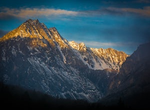
Backpack Mount Gonga, Sichuan Mountains (蜀山之王): Minya Konka West Route
5.043.5 mi / 4921.3 ft gainMount Gonga is located on the western side of Sichuan Province, approximately 330km from Chengdu. The trek around its western face follows major river valleys and traverses one pass over 4900m (highest point). In its entirety, the trek takes five to six days to complete and is entirely above 3000...Read more -
Zhangjiakou Shi, China
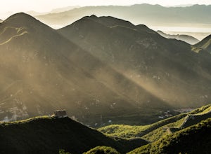
Hike the Chenjiapu Great Wall
5.03.1 mi / 1968.5 ft gainThis is a really nice section of the Great Wall that is much less known than many other parts. You are likely to hike here and find yourself the only one on the wall. Some parts are completely overgrown, you have to bushwack through the growth on top of the wall to go ahead and stairs are dangero...Read more -
Diqing Zangzuzizhizhou, China
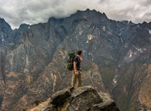
Hike the Tiger Leaping Gorge
13.7 mi / 3280.8 ft gainAbout 100km and a 1.5 hour ride from the city of Lijiang in Yunnan Province, the Tiger Leaping Gorge cuts between Jade Dragon Snow Mountain and Haba Snow Mountain. The upper route takes around 8-10hrs to hike in full, but most people split the hike up in two days staying at one of the many local ...Read more -
Lijiang Shi, China
Camp on Lijiang's (丽江) Nob Hill
4.5 mi / 656.2 ft gainThe town of Lijiang is one of the best hiking and cultural hubs for Yunnan province. It's an awesome place for exploration and relaxation for both the first-timer in China and the China-hand. This camp spot offers a quick and easy way to get out of the city bustle and spend the night above the c...Read more -
Lijiang Shi, China
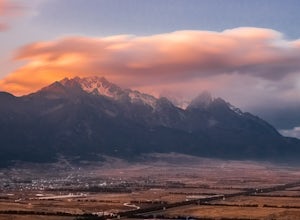
Hike the Jade Dragon Glacial Trough
6.2 mi / 1640.4 ft gainJade Dragon Snow Mountain is one of the most famous mountains in China’s Yunnan province. It’s China’s southernmost glaciated peak and stands at the southeastern edge of the Tibetan plateau. Regarded by the local Naxi people as a holy mountain protecting those who dwell below, its position less t...Read more -
Zhangjiakou Shi, China
Climb Mt. Xiaowutai (小五台山): Hebei Province's Highest Peak
5.015 mi / 6000 ft gainThis trip makes a great extended weekend getaway from Beijing. Mt. Xiawutai lies in the neighboring province of Hebei and is Hebei's highest peak at 2882m. Getting to the mountain requires either taking a bus from the Beijing South Railway station to the town of Taohua (桃花镇) or train to Xiahuayua...Read more -
Ganzi Zangzuzizhizhou, China
Trek the Complete Yading Holy Kora
5.046.6 mi / 10498.7 ft gainDay 1Start from bus drop off in the park, walk 500m up the road to Chonggu Monastery (冲古寺). Once you reach the monastery keep heading up and start walking on the road where the little carts are taking tourists up to the Luorong Pasture (洛绒牛场). This walk is unpleasant as technically it is only for...Read more -
Haibei Zangzuzizhizhou, China
Climb Ox Heart Mountain
9.9 mi / 6561.7 ft gainFromXining, Qinghai Province's main airport and city, take the bus 6~hours to Qilian Town (祁连县).The bus ticket is 58RMB and the first one leaves at 8:15am everyday.There are multiple buses every day.From the SE end ofthe Qilian (near the main town square) head almost due south,following the patch...Read more -
Ganzi Zangzuzizhizhou, China
Hike the Kora around Yading's Mt. Chenresig (仙乃日)
18 mi / 3444.9 ft gainKora: the Tibetan word for “revolution,” often referring to a holy pilgrimage circumambulating a sacred site or object in a clockwise direction.This route is the traditional kora of Mt. Chenresig (仙乃日), the Tibetan name for “compassion.” This is Yading’s highest peak, and the route will take you ...Read more -
Diqing Zangzuzizhizhou, China
Camp on Haba Snow Mountain (哈巴雪山): Huangtupo Camp
3.7 mi / 2296.6 ft gainFrom Lijiang or the end of the Tiger Leaping Gorge (Tina’s Guesthouse) take a bus, small public van, or hire a driver to take you to Haba village. This is a spectacular four hour drive from Lijiang and about a one hour drive from Tina’s. Haba is a wonderful little local Naxi village spread out on...Read more -
Garze, China
Backpack to Leduomanyin Glacier & Lake
24 mi / 3937 ft gainThis is a variation of the Outbound adventure which takes you on a hike around the full western side of Sichuan's highest peak, Minya Konka (7556m). In fact, you can follow the instructions on the other adventure up until day three. Here is a brief summary of the instructions for that adventure a...Read more -
Aba Zangzuqiangzuzizhizhou, China
Summit Four Girls Mountain Second Peak (四姑娘山二峰)
20.5 mi / 6594.5 ft gainThe route is most easiest found fromthe front of the hostel 日月山庄(Ri Yue Shan Zhuang – 3254m, phone no. of manager:18384253062 (he speaks OK English)). This is not the official startof the route, but it's a back way that avoids going through the maingate and paying a ticket fee. Across the road fr...Read more -
ShanShui Outdoors Club, China
Backpack the Wugong Mountains
21.7 mi / 5905.5 ft gainWugong Mountains (武功山) locate in Luxi xian, Pingxiang, JiangXi Province of China. The top of the mountains called Jinding(金顶) is 1900 meters high. The start point is ShanShui outdoors club (山水户外驿站), located in Shenzicun (沈子村). The coordinates are 114º6'58"E, 27º27'15"N. Day 1 (takes about 6 hour...Read more -
Ganzi Zangzuzizhizhou, China
Backpack Kawariluo (卡瓦洛日神山) Holy Mountain Pass
18.6 mi / 4593.2 ft gainTheroute starts right off HWY 317 on the opposite side of the river atGengda Village (更达村),elv. 3450m. Follow the road through the village along the rivervalley, soon crossing a bridge to the right side of the river (trueleft). Follow the road up the valley above the river for 5k or sountil you r...Read more

