The Best Camping in Lone Pine
Looking for the best camping in Lone Pine? We've got you covered with the top trails, trips, hiking, backpacking, camping and more around Lone Pine. The detailed guides, photos, and reviews are all submitted by the Outbound community.
Top camping spots in and near Lone Pine
-
Lone Pine, California
Rock Climb the Candy Store
The Candy Store is a group of boulders and small spires with around 30 climbing routes ranging from 5.6 to 5.11. The majority are trad routes with a significant portion toprope and a couple of sport. The major features/boulders are: First BoulderThe GumdropLollipop BoulderRock Candy TowerSecond B...Read more -
Inyo County, California
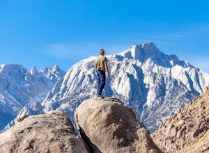
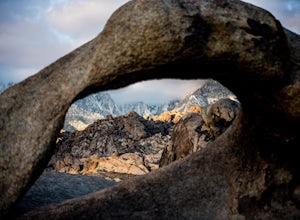
Camp in the Alabama Hills
4.8The Alabama Hills Recreation Area is a area owned by BLM and open to the public. Camping is free and you can say for a max of 14 days.The are has 100+ open desert sites that are shadowed by some of the tallest peaks in the Sierra Nevada range. And if that wasn't enough, the area was the backdrop ...Read more -
Lone Pine, California
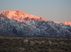
Camp at Tuttle Creek Campground
4.5Tuttle Creek Campground is a beautiful place to camp during any time of year. The campground offers uninterrupted breath taking views of the entire Eastern Sierra Nevada and Owens Valleys. Whether you are looking for a place to crash for the night while traveling down the 395, rock climbing in th...Read more -
Inyo County, California
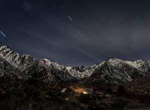
Camp at Lone Pine Campground
4.0The Lone Pine Campground is located 6 miles west of Lone Pine California, and 7 miles east of Mt Whitney Portal. The campsite is nestled next to Lone Pine Creek, which is the perfect place to fish for Sierra Nevada trout. The campground sits at 6,000 feet and in clear view of Mt. Whitney, the hig...Read more -
Inyo County, California
Scramble up Mt. Muir
5.018.5 mi / 6200 ft gainFrom the Whitney Trail - beyond trail crest - you will see a big cairn (right side). If you make it to the first "window of Mt. Whitney" you have gone too far. The cairn marks the start of an class 2 use trail up to the Mt. Muir headwall.The headwall is a fun climb with good handholds and has lit...Read more -
Inyo County, California
Winter Summit Mt. Whitney
22 mi / 6500 ft gainDay 1: We arrived at the Lone Pine Visitors Center at the intersection of HWY 395 and HWY 136 just south of Lone Pine, CA. We issued ourselves our overnight permits to climb Mt. Whitney and picked up our Wag Bags. You can self issue yourself the free permit Nov. 2 through Apr 30. Climbing during ...Read more -
Inyo County, California
PCT: CA Section H - Crabtree Meadow to Tuolumne Meadow
197.53 mi / 38822 ft gainPCT: CA Section H - Crabtree Meadow to Tuolumne Meadow is a point-to-point trail where you may see wildflowers located near Lone Pine, California.Read more -
Lone Pine, California
Cottonwood Lakes Trail
16.3 mi / 2523 ft gainCottonwood Lakes Trail is a loop trail that takes you by a lake located near Lone Pine, California.Read more -
Inyo County, California
Backpack Mount Langley
5.021 mi / 4000 ft gainMt. Langley sits four hours north of Los Angeles and is one of the easier 14ers to bag in California. Mt. Whitney absorbs most of the foot traffic, so enjoy the relative quiet and seclusion.The trailhead starts at Horseshoe Meadows/Cottonwood Lakes Trailhead Campgrounds and meanders for 7.5 miles...Read more -
Lone Pine, California
Horseshoe Meadow to the Kern River
39.24 mi / 5141 ft gainHorseshoe Meadow to the Kern River Trail is an out-and-back trail that takes you by a lake located near Lone Pine, California.Read more -
Lone Pine, California
Cottonwood Pass / New Army Pass Loop
22.85 mi / 3655 ft gainCottonwood Pass / New Army Pass Loop is a loop trail that takes you by a lake located near Lone Pine, California.Read more -
Lone Pine, California
Horseshoe Meadow to Haiwee Creek
41.63 mi / 2638 ft gainHorseshoe Meadow to Haiwee Creek Trail is a point-to-point trail where you may see beautiful wildflowers located near Death Valley, California.Read more -
Lone Pine, California
John Muir Trail: Horseshoe Meadow to Happy Isles
230.11 mi / 42156 ft gainJohn Muir Trail: Horseshoe Meadow to Happy Isles is a point-to-point trail that takes you by a lake located near Lone Pine, California.Read more -
Lone Pine, California
Horseshoe Meadow Trailhead to Onion Valley Trailhead
48.87 mi / 9564 ft gainHorseshoe Meadow Trailhead to Onion Valley Trailhead is a point-to-point trail that takes you by a lake located near Lone Pine, California.Read more -
Lone Pine, California
Horseshoe Meadows, Pacific Crest Trail, High Sierra Trail, Golden Trout Loop
65.32 mi / 8750 ft gainHorseshoe Meadows, Pacific Crest Trail, High Sierra Trail, Golden Trout Loop is a loop trail that takes you by a lake located near Lone Pine, California.Read more -
Independence, California
South Lake via John Muir Trail
79.36 mi / 21716 ft gainSouth Lake via John Muir Trail is a point-to-point trail that takes you by a lake located near Independence, California.Read more

