The Best Camping in Groveland
Looking for the best camping in Groveland? We've got you covered with the top trails, trips, hiking, backpacking, camping and more around Groveland. The detailed guides, photos, and reviews are all submitted by the Outbound community.
Top camping spots in and near Groveland
-
Groveland, California
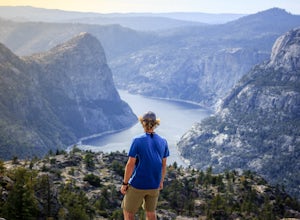
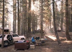
Camp at Hetch Hetchy Backpacker's Campground
This campsite is a gateway into the Yosemite wilderness. Great starting/ending point for backpacking trips or simply for camping. Self-register and pay when you arrive at the site. Picnic tables, bathrooms, food lockers, and fire pits are available.Read more -
Groveland, California
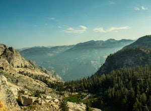
Hetch Hetchy Reservoir to Sierra Crest Backpacking Loop
87.79 mi / 17218 ft gainHetch Hetchy Reservoir to Sierra Crest Backpacking Loop Trail is a loop trail that takes you by a lake located near Yosemite Valley, California.Read more -
Groveland, California
Jack Main Canyon and Tilden Lake
42.58 mi / 7503 ft gainJack Main Canyon and Tilden Lake is a loop trail that takes you by a lake located near Groveland, California.Read more -
Groveland, California
Hetch Hetchy to Rancheria Falls
4.812.55 mi / 2500 ft gainSituated in the northwest portion of Yosemite National Park, Hetch Hetchy is is a not often visited treasure of the Central Sierra Nevada. In 1913, in an extremely controversial move, work on the O’Shaughnessy Dam was started to provide water to the growing population of San Francisco. Today, Het...Read more -
Tuolumne County, California
Camp at Cherry Valley Campground
/ 4993 ft gainCherry Valley Campground is typically open from May - September, weather dependent. The fee is $22 for a single family site and $44 for a double family site. The campground provides vault toilets. Each campsite is equipped with a picnic table and fire ring. Pets are welcome at Cherry Valley Campg...Read more -
Groveland, California
Camp at Hodgdon Meadow Campground
4.0Hodgdon Campground is located off of the Big Oak Flat Road (Highway 120), about 45 minutes northwest of Yosemite Valley. Open all year for single sites and Spring-Fall for groups. Dog friendly (except in horse and groups sites). More info at https://www.nps.gov/yose/plany...Read more -
Tuolumne County, California
Harden Lake Trail
5.35 mi / 541 ft gainHarden Lake Trail is a loop trail that takes you by a lake located near Yosemite Valley, California.Read more -
Tuolumne County, California
White Wolf to Piute Creek and the Grand Canyon of the Tuolumne River
22.67 mi / 4600 ft gainWhite Wolf to Piute Creek and the Grand Canyon of the Tuolumne River Trail is an out-and-back trail that takes you by a lake located near Wawona, California.Read more -
Tuolumne County, California
Backpack Grand Canyon of the Tuolumne
5.048.29 mi / 10610 ft gainThis is a rugged overnight backpack into the North country of Yosemite dropping in from Tuolumne Meadows into the Grand Canyon of the Tuolumne. The trail begins at an elevation just under 9,000' and drops to a low elevation of 4,500' almost 19 miles later at Pate Valley. Coming up out of Pate Val...Read more -
Mariposa County, California
Camp at Crane Flat Campground
Crane Flat Campground is located on the Big Oak Flat Road (Highway 120) just west of Crane Flat, about 30 minutes northwest of Yosemite Valley. Sites are open July-October at $26/night. More info at https://www.nps.gov/yose/plany...Read more -
Wawona, California
Cascade Creek from Tamarack Campground Trail
4.49 mi / 787 ft gainCascade Creek from Tamarack Campground Trail is an out-and-back trail where you may see wildflowers located near Yosemite Valley, California.Read more -
Wawona, California
Tamarack Flat to Yosemite Valley
16.79 mi / 3875 ft gainTamarack Flat to Yosemite Valley Trail is a point-to-point trail that takes you by a waterfall located near Yosemite Valley, California.Read more -
Groveland, California
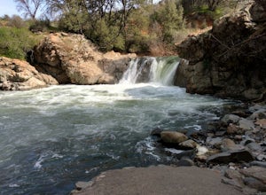
Swim at Rainbow Pools
4.5Finding rainbow pools is a little tricky, since it is off the side of a highway, but when you find it there is parking and bathrooms. There is a easy walkway to get down to the pools themselves, and trails to climb to the top to slide or jump off the rocks. Many people tend to fish up top underne...Read more -
Wawona, California
Tamarack Flat to El Capitan
16.54 mi / 3793 ft gainTamarack Flat to El Capitan Trail is an out-and-back trail where you may see beautiful wildflowers located near Yosemite Valley, California.Read more -
Groveland, California
Enjoy Lost Claim Campground
/ 3073 ft gainLost Claim Campground is extremely popular with visitors to Yosemite National Park, sitting just 15 miles northwest of the park boundary. Visitors to Lost Claim Campground can enjoy all that Yosemite has to offer - along with the amazing wilderness of Stanislaus National Forest. The campground pr...Read more -
Wawona, California
Yosemite Creek Trail
12.35 mi / 1818 ft gainYosemite Creek Trail is an out-and-back trail that takes you by a waterfall located near Yosemite Valley, California.Read more


