The Best Camping in Tulare County
Looking for the best camping in Tulare County? We've got you covered with the top trails, trips, hiking, backpacking, camping and more around Tulare County. The detailed guides, photos, and reviews are all submitted by the Outbound community.
Top camping spots in and near Tulare County
-
Kernville, California
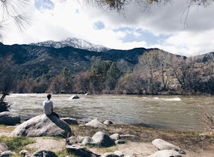
Camp at Lower Springhill
The Lower Springhill Campground is a primitive campsite situated along the Kern River in the southern area of Sequoia National Forest. Since this is a primitive campground, there is no potable water, bathrooms or garbage service. You must pack out what you bring in.The campground is easily access...Read more -
Kernville, California
Cannell Meadow Trail
21.02 mi / 5623 ft gainCannell Meadow Trail is a loop trail where you may see wildflowers located near Kernville, California.Read more -
Kernville, California
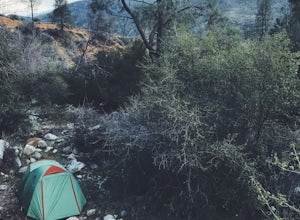
Dispersed Camp along Salmon Creek in Sequoia NF
There are several dispersed campsites found throughout the Sequoia National Forest. The majority can be found by driving on any of the OHV accessible roads. This particular campsite can be found at coordinates 35.89759, -118.4628. In order to get to the campsite, use Google Maps to get you to the...Read more -
Kernville, California
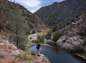
Whiskey Flat Trail
11.94 mi / 1316 ft gainWhiskey Flat Trail is an out-and-back trail that takes you by a river located near Kernville, California.Read more -
Inyokern, California
Long Valley Trail
4.77 mi / 627 ft gainLong Valley Trail is an out-and-back trail that is moderately difficult located near Inyokern, California.Read more -
Camp Nelson, California
Fly Fish the Kern River above the Johnsondale Bridge
5.04 mi / 100 ft gainCheck in at the local fly fishing shop in Kernville to check the latest status, then continue up the 20 mile stretch of Mountain Hwy 99 until you cross the Johnsondale Bridge. Park, pack, then begin your 30-45 minute hike up the trail before setting your rod.After you're finished, stop by the Ker...Read more -
Lake Isabella, California
Isabella Lake
1.06 mi / 43 ft gainIsabella Lake is a loop trail that is good for all skill levels located near Lake Isabella, California.Read more -
Porterville, California
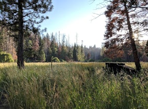
Camp at Redwood Meadow
Situated right across the street from the stunning Trail of 100 Giants, Redwood Meadows features 13 spacious campsites adjacent to a picturesque meadow. There are picnic tables, fire rings, and six yurt sites available for those who wish to bring some of the great indoors outside. Pit toilets ar...Read more -
Springville, California
Peppermint Creek Falls
0.72 mi / 164 ft gainPeppermint Creek Falls is an out-and-back trail that is good for all skill levels located near Springville, California.Read more -
Inyokern, California
PCT: South Fork Kern River Section
47.34 mi / 9616 ft gainPCT: South Fork Kern River Section is a point-to-point trail that takes you by a river located near Inyokern, California.Read more -
Kern County, California
PCT: CA Section G - Walker Pass to Crabtree Meadow (Mount Whitney)
119.99 mi / 26522 ft gainPCT: CA Section G - Walker Pass to Crabtree Meadow (Mount Whitney) is a point-to-point trail that takes you by a lake located near Inyokern, California.Read more -
Kern County, California
Walker Pass Campground Trail
1.84 mi / 240 ft gainWalker Pass Campground Trail is an out-and-back trail where you may see wildflowers located near Onyx, California.Read more -
Inyokern, California
Jordan Hot Springs Via Casa Vieja Trail
10.72 mi / 2671 ft gainJordan Hot Springs Via Casa Vieja Trail is an out-and-back trail that takes you by a hot springs located near Olancha, California.Read more -
Inyokern, California
Redrock Meadows / Templeton Mountain Loop
38.2 mi / 7519 ft gainRedrock Meadows / Templeton Mountain Loop is a loop trail where you may see local wildlife located near Olancha, CaliforniaRead more -
Inyo County, California
Fossil Falls Trail
4.30.58 mi / 43 ft gainFossil Falls is located east of Highway 395, a few miles south of Coso Junction, 45 min north of Ridgecrest. There is Bureau of Land Management sign pointing the way, but it is small, faded, and easy to miss, so be on the lookout. After about a mile drive on a marked dirt road, you'll reach the ...Read more -
Weldon, California
Dove Spring Canyon OHV Trail
15.04 mi / 1460 ft gainDove Spring Canyon OHV Trail is a point-to-point trail that provides a good opportunity to view wildlife located near Weldon, California.Read more

