The Best Camping in Cool
Looking for the best camping in Cool? We've got you covered with the top trails, trips, hiking, backpacking, camping and more around Cool. The detailed guides, photos, and reviews are all submitted by the Outbound community.
Top camping spots in and near Cool
-
Pilot Hill, California
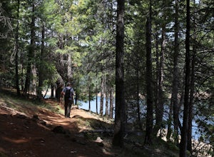
Peninsula Campground to First Cove Loop
5.33 mi / 568 ft gainPeninsula Campground to First Cove Loop is a loop trail that takes you by a lake located near Pilot Hill, California.Read more -
Foresthill, California
Explore Sugar Pine Reservoir
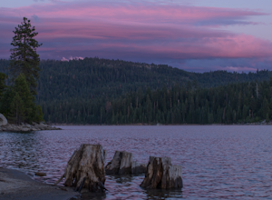
4.3Just a few miles north of Foresthill, Sugar Pine is a lesser known reservoir found in Placer County that is surprisingly unpopulated for how much the park provides. A swim suit, some friends, and some good music can be all it takes to have a good time.There is a boat-launching station that is eas...Read more -
Alta, California
Euchre Bar Trail
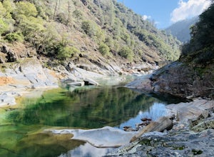
7.53 mi / 2756 ft gainEuchre Bar Trail is an out-and-back trail that takes you by a river located near Dutch Flat, California.Read more -
Pollock Pines, United States
Hiking the Jenkinson Lake Loop Trail at Sly Park
4.0The Jenkinson Lake Loop Trail runs along Jenkinson Lake, making for an easy, shaded, and well-marked hike that the entire family can enjoy. The full loop is over eight miles, but can be easily modified into a shorter trip, as well.Along the way, you will see a variety of activities along the lake...Read more -
Nevada City, California
South Yuba River: Edwards Crossing to Purdon Crossing
5.04.2 mi / 639 ft gainSouth Yuba River: Edwards Crossing to Purdon Crossing is a point-to-point trail that takes you by a river located near North San Juan, California.Read more -
Nevada City, California
South Yuba Trail to the Missouri Bar Trail
14.78 mi / 2152 ft gainSouth Yuba Trail to the Missouri Bar Trail is an out-and-back trail that takes you by a river located near Nevada City, California.Read more -
Amador County, California
Shriner Lake Trail via Tanglefoot Trailhead
3.87 mi / 449 ft gainShriner Lake Trail via Tanglefoot Trailhead is an out-and-back trail that takes you by a lake located near Pioneer, California.Read more -
Nevada City, California
Humbug Trail
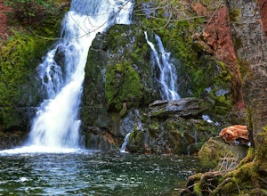
4.9 mi / 1122 ft gainHumbug Trail is a is an out-and-back trail that takes you by a waterfall located near Washington, California.Read more -
Kyburz, California
Wench Creek Campground to Bassi Falls
8.74 mi / 1444 ft gainWench Creek Campground to Bassi Falls is a loop trail that takes you by a lake located near Twin Bridges, California.Read more -
Nevada City, California
South Yuba Trail
19.8 mi / 2942 ft gainSouth Yuba Trail is a point-to-point trail that takes you by a river located near Nevada City, California.Read more -
Placer County, California
French Meadows Reservoir Campground Area
0.97 mi / 138 ft gainFrench Meadows Reservoir Campground Area is a loop trail that takes you by a lake located near Foresthill, California.Read more -
El Dorado County, California
Camp at Ice House Reservoir
4.01 mi / 1 ft gainDesolation Wilderness is just west of Lake Tahoe, a part of Eldorado National Forest. It's a very popular backpacking destination as the PCT and Tahoe Rim Trail both run through the area. There are what seems to be endless amounts of mountain lakes, creeks, and rivers that run through this area w...Read more -
Nevada City, California
Spaulding Lake Trail
8.7 mi / 1184 ft gainSpaulding Lake Trail is an out and back trail that is moderately difficult located near Nevada City, California.Read more -
El Dorado County, California
Loon Lake Trail from FS Road 36
9.96 mi / 1253 ft gainLoon Lake Trail from FS Road 36 is an out-and-back trail that is moderately difficult located near Twin Bridges, California.Read more -
Emigrant Gap, California
Loch Leven to American River
20.34 mi / 6043 ft gainLoch Leven to American River is an out-and-back trail that takes you by a waterfall located near Truckee, California.Read more


