The Best Camping in Carbondale
Looking for the best camping in Carbondale? We've got you covered with the top trails, trips, hiking, backpacking, camping and more around Carbondale. The detailed guides, photos, and reviews are all submitted by the Outbound community.
Top camping spots in and near Carbondale
-
Carbondale, Colorado
Rio Grande Trail: Carbondale Campground to Roaring Fork River
7.25 mi / 79 ft gainRio Grande Trail: Carbondale Campground to Roaring Fork River is an out-and-back trail where you may see beautiful wildflowers located near Carbondale, Colorado.Read more -
Carbondale, Colorado
Camp at Prince Creek
3.0From Colorado State Highway 82, turn south onto Highway 133 (toward Carbondale). Continue south past the Carbondale Main Street roundabout. After two miles, turn East onto Prince Creek Road. Follow this four miles to where the pavement ends. After passing through a cattle gate, BLM land lines the...Read more -
Basalt, Colorado
Camp at Thomas Lake and Summit Mt. Sopris
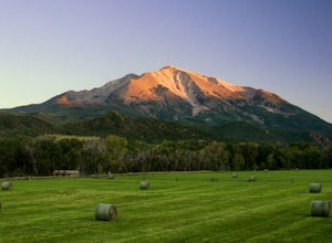
5.013 mi / 4400 ft gainWith the Elk Mountain range behind it, It appears to be standing by itself, and has the resemblance of a grand volcano.From Hwy 133 out of Carbondale, turn down Prince Creek Road and drive 6 miles to the trailhead. The trail is a nice mixture of meadows and woods, with excellent views of the vall...Read more -
Carbondale, Colorado
Avalanche Creek Trail
20.45 mi / 6066 ft gainAvalanche Creek Trail is a point-to-point trail that takes you by a lake located near Carbondale, Colorado.Read more -
Snowmass, Colorado
Capitol Creek Trail
16.97 mi / 5226 ft gainCapitol Creek Trail is an out-and-back trail that takes you by a lake located near Snowmass, Colorado.Read more -
Snowmass, Colorado
Capitol Lake via Capitol Ditch
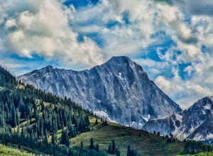
5.012.28 mi / 2575 ft gainThe route to Capitol Lake is fairly straightforward, but not without its minor hardships. The route begins at the end of Capitol Creek Road, 9 miles from the small "town" of Snowmass (NOT Snowmass Village - that's the high-class ski resort). The last few miles of this road provide the first min...Read more -
Snowmass, Colorado
Maroon Snowmass Trail to Willow Lake Trail to East Maroon Trail Loop
24.07 mi / 6368 ft gainMaroon Snowmass Trail to Willow Lake Trail to East Maroon Trail Loop is a loop trail that takes you by a lake located near Snowmass Village, Colorado.Read more -
Gypsum, Colorado
Camp at Deep Creek Campground
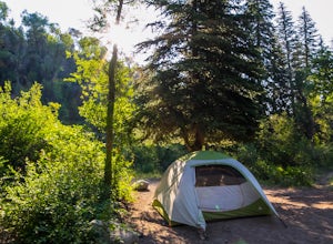
I was driving from Denver to Telluride and wanted a camping spot along the way so I decided to make a random turn off of 70 and sure enough found some beautiful BLM land to camp on. The Deep Creek Campground is along a dirt road about 2 miles off of a paved road. There are 6 camping sites along t...Read more -
Gypsum, Colorado
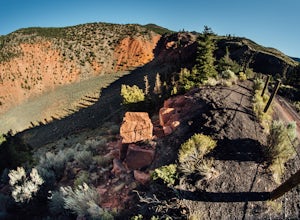
Camp at Dotsero Crater
COLORADO'S YOUNGEST VOLCANO The Dotsero crater is Colorado's youngest volcano, erupting a mere 4,200 years ago. While the crater may not be as dramatic as Mt. St Helens, Mt. Baker, or other volcanos in the U.S., it's quite an unusual terrain feature to come across in Colorado, and offers some gre...Read more -
Marble, Colorado
Lead King Basin and Crystal Mill Loop
12.13 mi / 2306 ft gainLead King Basin and Crystal Mill Loop is a loop trail that takes you by a lake located near is a loop trail that takes you by a lake located near.Read more -
Aspen, Colorado
Camp on the Backside of Buttermilk Mountain
1.04 mi / 2000 ft gainPark at the Buttermilk Ski Area parking lot and begin your hike up the mountain at the bottom of the Summit Express chair lift. Follow the 4x4 dirt road the entire way up Buttermilk. There are other small hiking trails that you can follow too, and with the entire mountain being a ski area, it's s...Read more -
Carbondale, Colorado
Backpack the Lead King Basin Trail
4.5 mi / 2000 ft gainWe began our hike at the beginning of the afternoon after about two-three hours driving up the 14 mile road. The first mile of the trail was mild, turning into an uphill adventure. Lots of switchbacks, winding paths, and some tree coverage. By mile 2, we were on a steep grade the rest of the way....Read more -
Carbondale, Colorado
Geneva Lake OHV Trail
6.98 mi / 1867 ft gainGeneva Lake OHV Trail is a loop trail that takes you by a lake located near Carbondale, Colorado.Read more -
Carbondale, Colorado
Snowmass Lake via North Fork Crystal River
13.83 mi / 4163 ft gainSnowmass Lake via North Fork Crystal River is a loop trail that takes you by a lake located near Carbondale, Colorado.Read more -
Aspen, Colorado
Government Trail
19.69 mi / 4026 ft gainGovernment Trail is an out-and-back trail where you may see beautiful wildflowers located near Aspen, Colorado.Read more -
Aspen, Colorado
Camp at Silver Bell Campground
Escape the bustle of town and head out of Aspen on Maroon Creek Road. Follow the signs to Maroon-Bells Snowmass Wilderness Area. There is a $10 entrance fee (unless you are a national parks pass cardholder) plus an additional fee to camp. Continue down the road to Silver Bell Campground. With a t...Read more


