The Best Camping in Wayne County
Looking for the best camping in Wayne County? We've got you covered with the top trails, trips, hiking, backpacking, camping and more around Wayne County. The detailed guides, photos, and reviews are all submitted by the Outbound community.
Top camping spots in and near Wayne County
-
Torrey, Utah
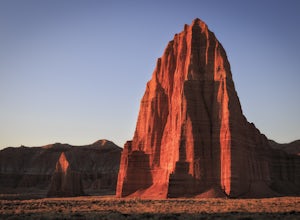
Photograph Cathedral Valley
5.0First let me preface that a high clearance vehicle is needed for this adventure. Provided that, prepare for a journey into some very remote and beautiful desert in the middle of Capitol Reef National Park.In total the scenic loop is 57 miles of washboard riddled roads that lead to the spectacular...Read more -
Torrey, Utah
Camp in Capitol Reef National Park
5.0From Interstate 70, the road can be accessed from the west just a few miles from Highway 6, and from the east just near the town of Richfield. It also meets up at the north end of Highway 12 at the town of Teasdale. There is a major campsite at Capitol Reef National Park, but also many RV sites a...Read more -
Green River, Utah
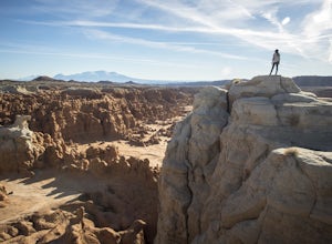
Exploring Goblin Valley
4.5Goblin Valley Can entertain you for 1 hour or 10. There are no established trails, so you are free to wander around the entire park. There are cliffs to climb, slot canyons to explore and hoodoos to discover. From the parking area, you descend about 100 feet into the valley. Once you are down the...Read more -
Green River, Utah
Camp at Goblin Valley
3.8Goblin Valley State Park is in a rural section of southern Utah, but if you type it into Google Maps you will go straight there. There are awesome campsites within the park but they require reservations. If you didn't take the time to reserve a campsite, don't worry, there is plenty of BLM land r...Read more -
Garfield County, Utah
Hike Mount Ellen in Utah's Henry Mountains
4.04 mi / 1091 ft gainMount Ellen is considered an Ultra Prominent Peak. What's that you may ask? Well, Ultra Prominent Peaks are determined by how high the summit rises above its surroundings. Rising 5,812 feet above the desert floor with a summit elevation of 11,527 feet, Mount Ellen is the third most prominent peak...Read more -
Torrey, Utah
Camp at McMillan Springs In The Henry Mountains
McMillan Springs Campground is south of Hanksville, Utah and within the Henry Mountains, which run north and south between Canyonlands, and Capitol Reef National Parks. Situated at 8,400 feet, McMillan Springs Campground has moderate temperatures and is managed by the BLM, so fees are donation b...Read more -
Emery County, Utah
Crack Canyon via Behind the Reef Road
14.68 mi / 2290 ft gainCrack Canyon via Behind the Reef Road is an out-and-back trail that takes you by a river located near Hanksville, Utah.Read more -
Torrey, Utah
Fremont River Trail
2.11 mi / 371 ft gainFremont River Trail is an out-and-back trail that takes you by a river located near Torrey, Utah.Read more -
Garfield County, Utah
Exploring Leprechaun Canyon's Middle Fork
To reach the Leprechaun Canyons drive south of Hanksville, UT on highway 95 for 26 miles to the intersection with highway 276. Keep left and drive another 2 miles to a short dirt road on the left (the pin on the map will lead you to this location). Drive up the road and park about 300 feet from t...Read more -
Torrey, Utah
Lower Spring Canyon Trail
10.41 mi / 2431 ft gainLower Spring Canyon Trail is a point-to-point trail that takes you by a river located near Torrey, Utah.Read more -
Wayne County, Utah
Drive the Cathedral Valley Loop
60 miThese set of roads are classified as 4x4 high clearance vehical roads. Not to mention this part of the park is remote and only about 10% of visitors access it. To get to Cathedral Valley, we were recommended to drive a “loop” by the park ranger, that entailed about 60 miles of high clearance dirt...Read more -
Cathedral Road, Utah
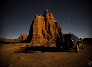
Camp and see the Temple of the Sun in Cathedral Valley
5.03 miCathedral Valley is a scenic backcountry area in Capitol Reef National Park. It is a remote, stark desert, characterized by amazingly beautiful sandstone monoliths that some say resemble cathedrals. Many of the valleys structures have interesting, highly descriptive names: Temple of the Sun, Temp...Read more -
Teasdale, Utah
Blind Lake Trail
6.95 mi / 1644 ft gainBlind Lake Trail is an out-and-back trail that takes you by a lake located near Torrey, Utah.Read more -
38.089236,-111.343124, Utah
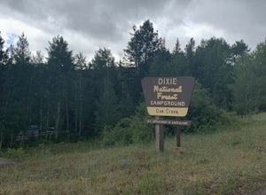
Camp at Oak Creek Campground
This campground is extremely easy to get to and is in a good location. It is located in the Dixie National Forest along Utah highway 12. The campground has a total of 9 spots most are good for small RV but nothing longer than 20ft. The campground has no electricity or water hookups but a water sp...Read more -
Garfield County, Utah
Hike in the Upper Muley Twist Canyon
4.510 mi / 750 ft gainThis hike is by far my favorite trail I've been on. To begin, you access Upper Muley Twist Canyon Road from the top of the Burr Trail Road switchbacks. Regular vehicles can be driven a little less than half a mile to the trailhead (adding about 3 miles to get to the trailhead, about 6 miles round...Read more -
Torrey, Utah
Lower Muley Twist Canyon and Grand Gulch Loop
14.91 mi / 3606 ft gainLower Muley Twist Canyon and Grand Gulch Loop is a loop trail where you may see local wildlife located near Boulder, Utah.Read more

